


| map file | A35_B29_197_Kurzetnik_1925_400dpi.jpg |
|---|---|
| file size | 8887338 (8.5 MB) |
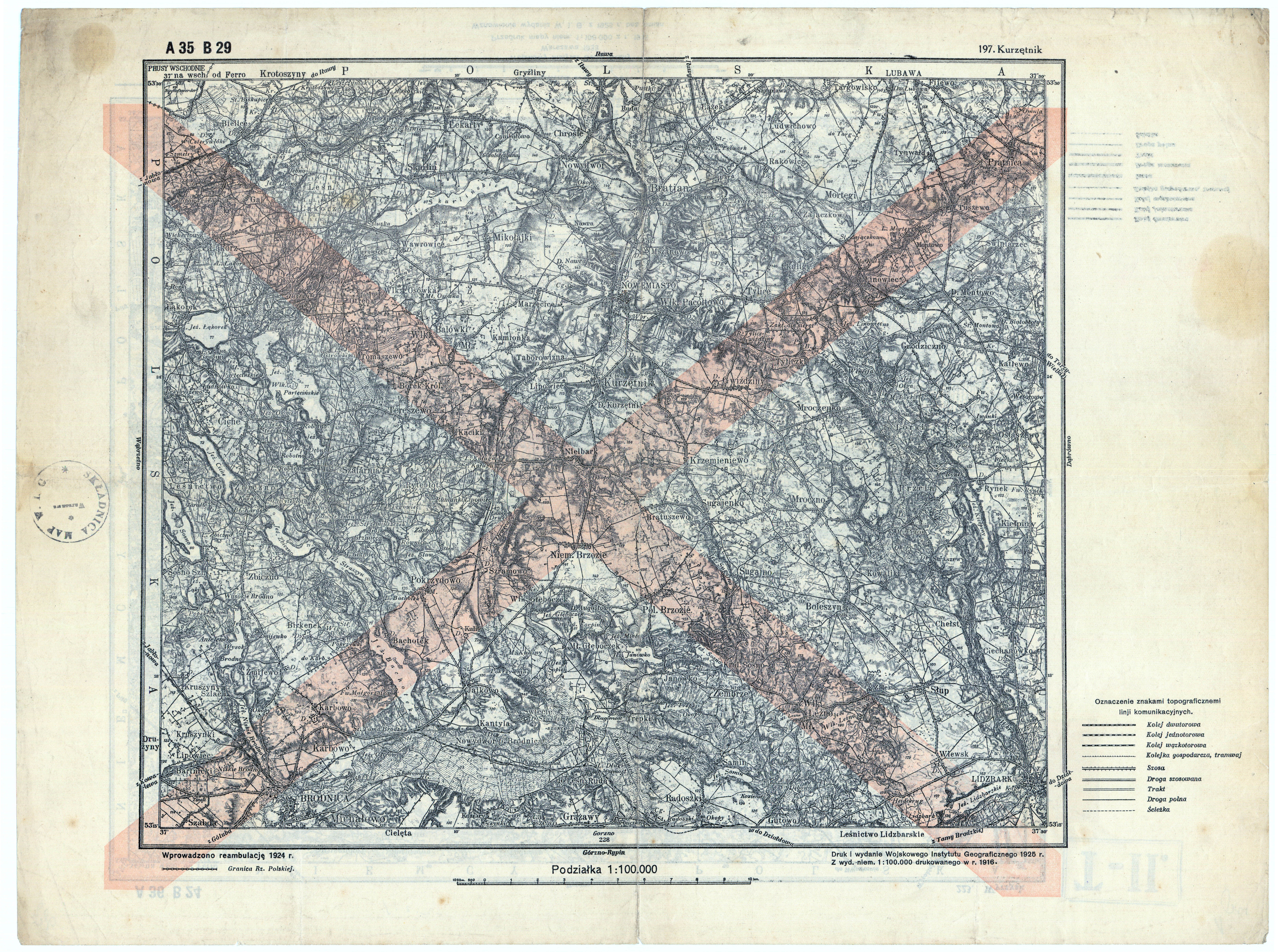
| sheet number | Row 35 Col 29 (A35 B29) |
| sheet title | (197) Kurzętnik |
| modern name | Kurzętnik |
| publication year | 1925 |
| publisher | Wojskowy Instytut Geograficzny |
| map type | Typ 0 |
| description | An early edition. The cartographic content is taken from German/Russian/Austrian maps. |
| map/scan condition | good |
| scan resolution | 400 dpi |
| scan colors | rgb |
| file added | 2010-01-01 |
| entry edited | 2011-02-14 13:23:56 |
| from the collection of | Archiwum Map WIG |
