


| map file | KdwR_C33_Kolo_1914_300dpi.jpg |
|---|---|
| file size | 4614000 (4.4 MB) |
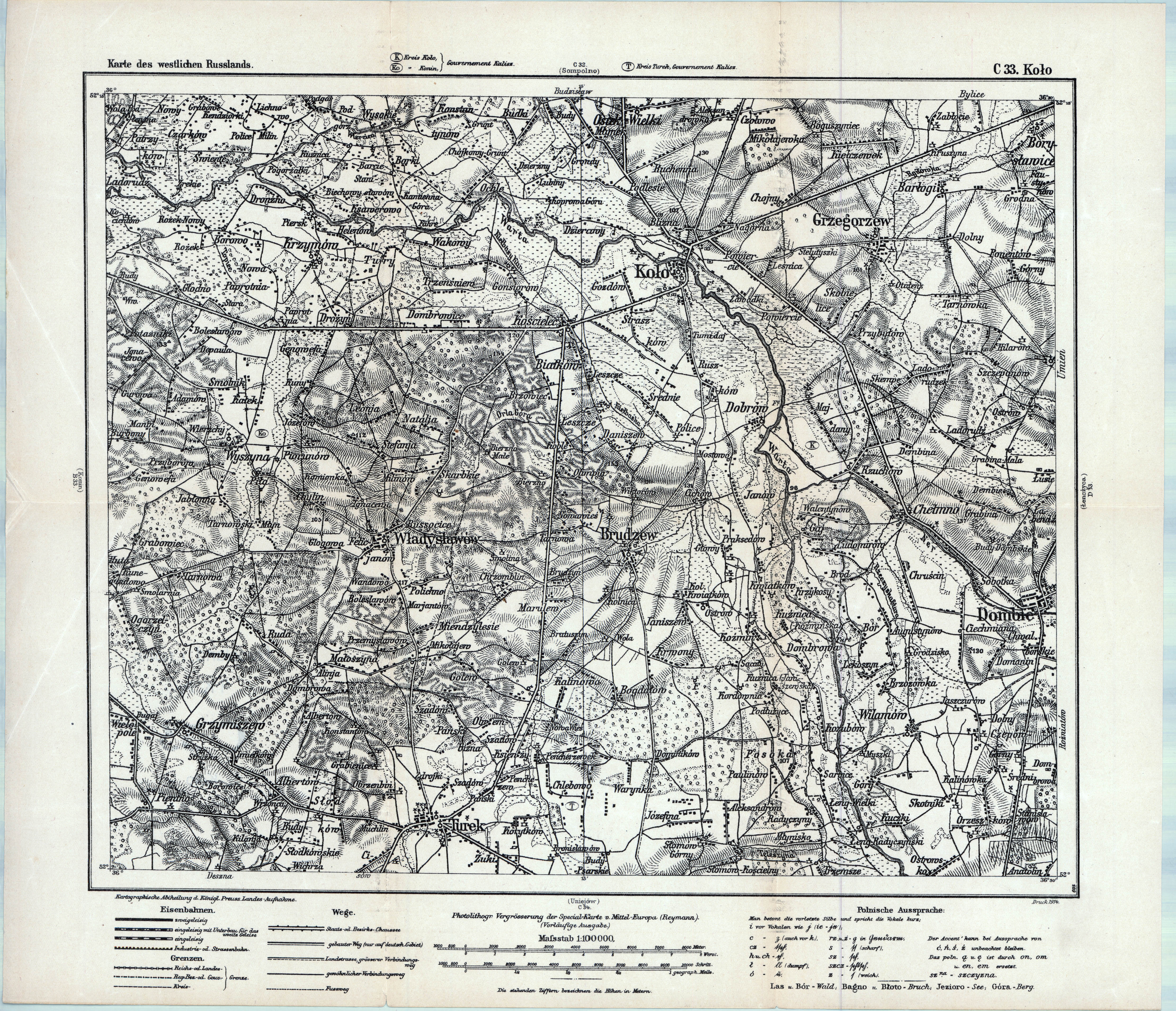
| sheet number | C 33 |
| sheet title | Kolo |
| modern name | Koło |
| publication year | 1914 |
| scan resolution | 300 dpi |
| entry edited | 2012-09-01 22:52:44 |
| from the collection of | Archiwum Map WIG |

| map file | KdwR_C33_Kolo_1914_300dpi.jpg |
|---|---|
| file size | 4614000 (4.4 MB) |
| sheet number | C 33 |
| sheet title | Kolo |
| modern name | Koło |
| publication year | 1914 |
| scan resolution | 300 dpi |
| entry edited | 2012-09-01 22:52:44 |
| from the collection of | Archiwum Map WIG |