


| map file | KdwR_M33_Biala_1911_400dpi.jpg |
|---|---|
| file size | 9961000 (9.5 MB) |
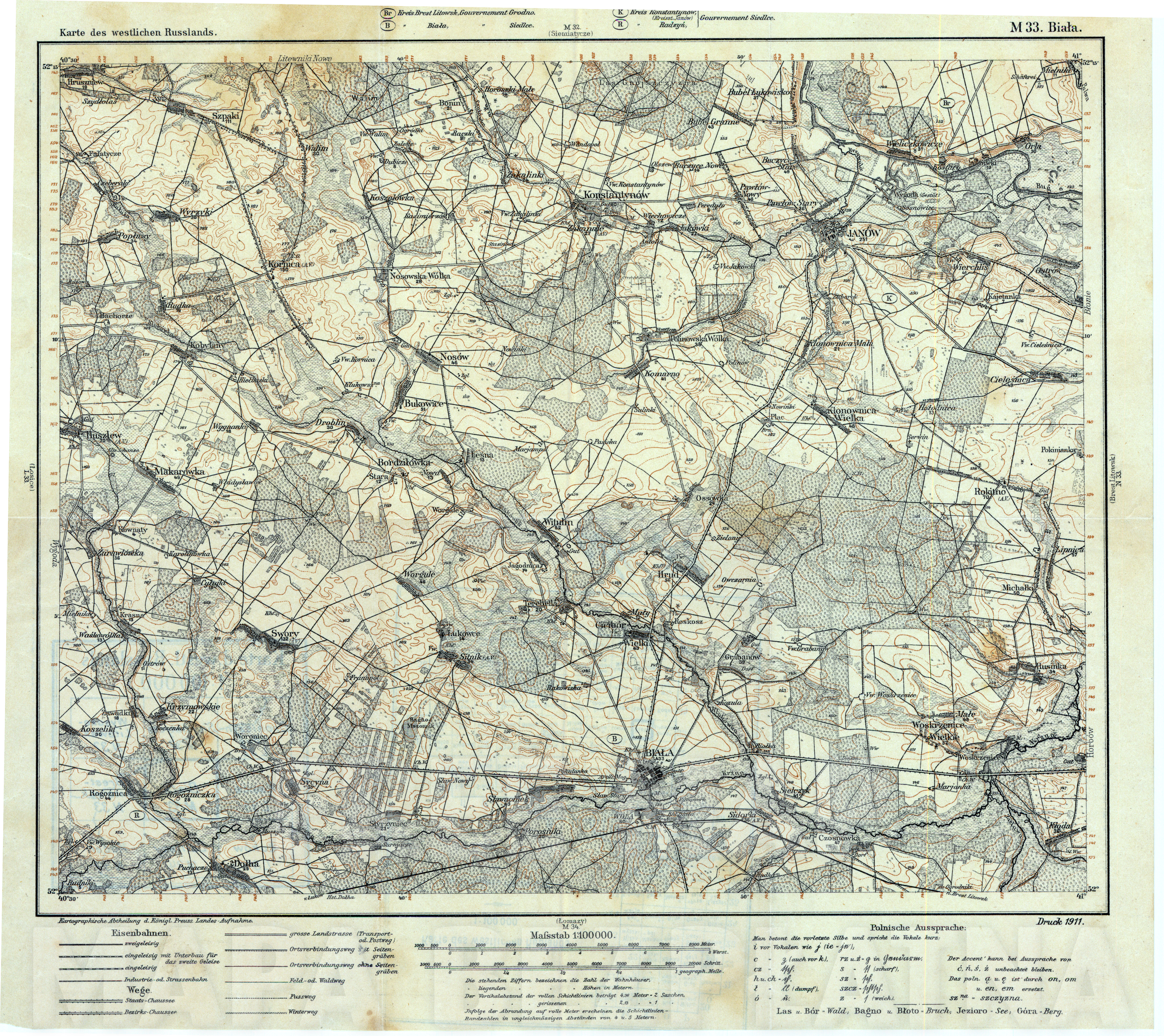
| sheet number | M 33 |
| sheet title | Biala |
| modern name | Biała Podlaska |
| publication year | 1911 |
| scan resolution | 400 dpi |
| entry edited | 2012-09-01 22:52:53 |
| from the collection of | Archiwum Map WIG |

| map file | KdwR_M33_Biala_1911_400dpi.jpg |
|---|---|
| file size | 9961000 (9.5 MB) |
| sheet number | M 33 |
| sheet title | Biala |
| modern name | Biała Podlaska |
| publication year | 1911 |
| scan resolution | 400 dpi |
| entry edited | 2012-09-01 22:52:53 |
| from the collection of | Archiwum Map WIG |