


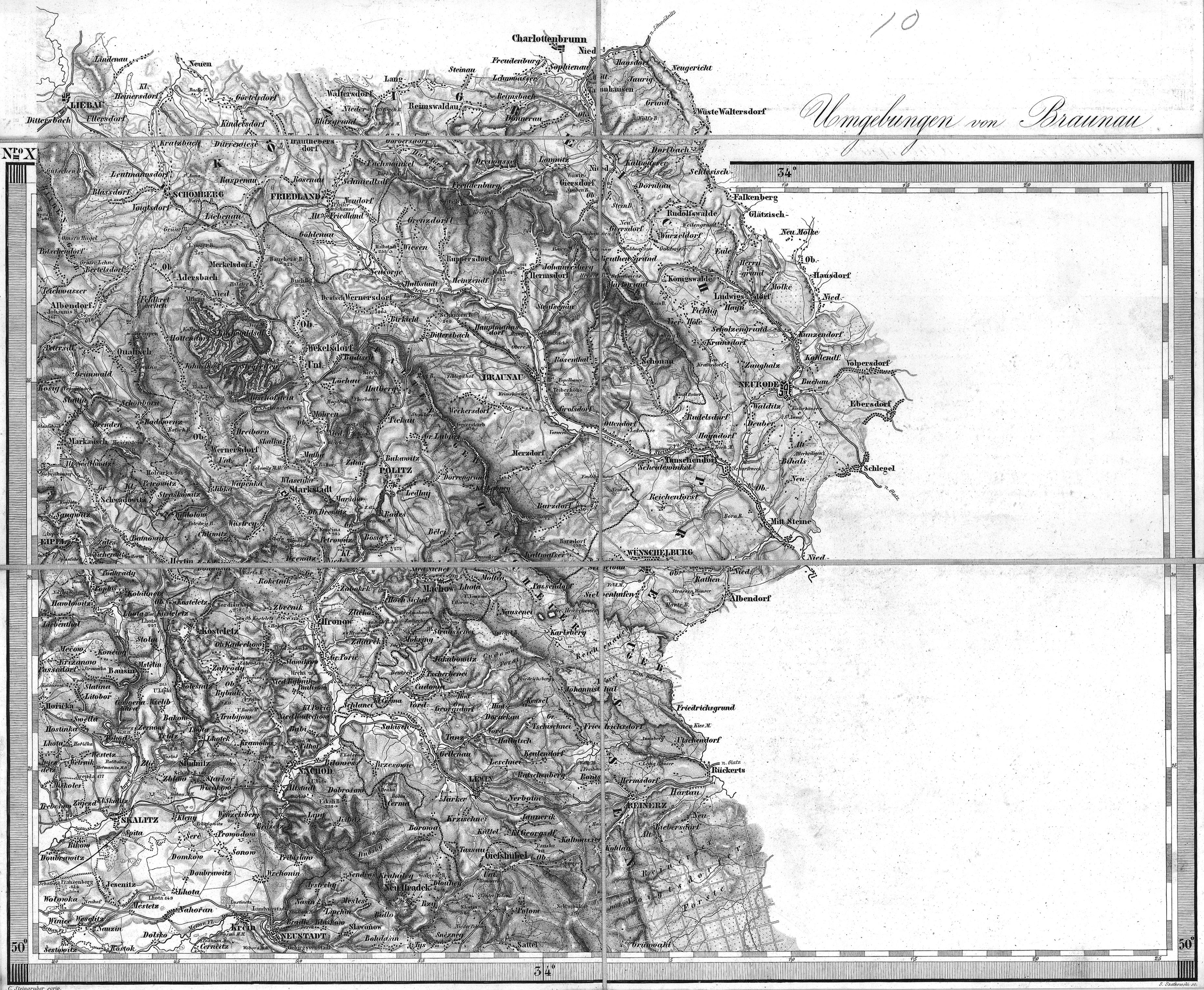
| map file | Boehmen144K_010_Braunau.jpg |
|---|---|
| file size | 8132265 (7.8 MB) |
| sheet number | 10 |
| sheet title | Braunau |
| annotation | obraz oryginalny / original image |
| publisher | K.u.k. Militärgeographisches Institut in Wien |
| map/scan condition | bad |
| scan resolution | -250 dpi |
| file added | 2014-03-17 |
| entry edited | 2014-03-18 23:18:07 |
| from the collection of | Ernst Moritz Arndt Universität Greifswald GeoGREIF Geographische Sammlungen |
