| map file | mbc01210_Topografia_Trylogii_Henryka_Sienkiewicza_04.jpg |
|---|
| file size | 3419261 (3.3 MB) |
|---|
| sheet number | TRYLOGIA |
|---|
| map sheet scale | 1:2,000,000 |
|---|
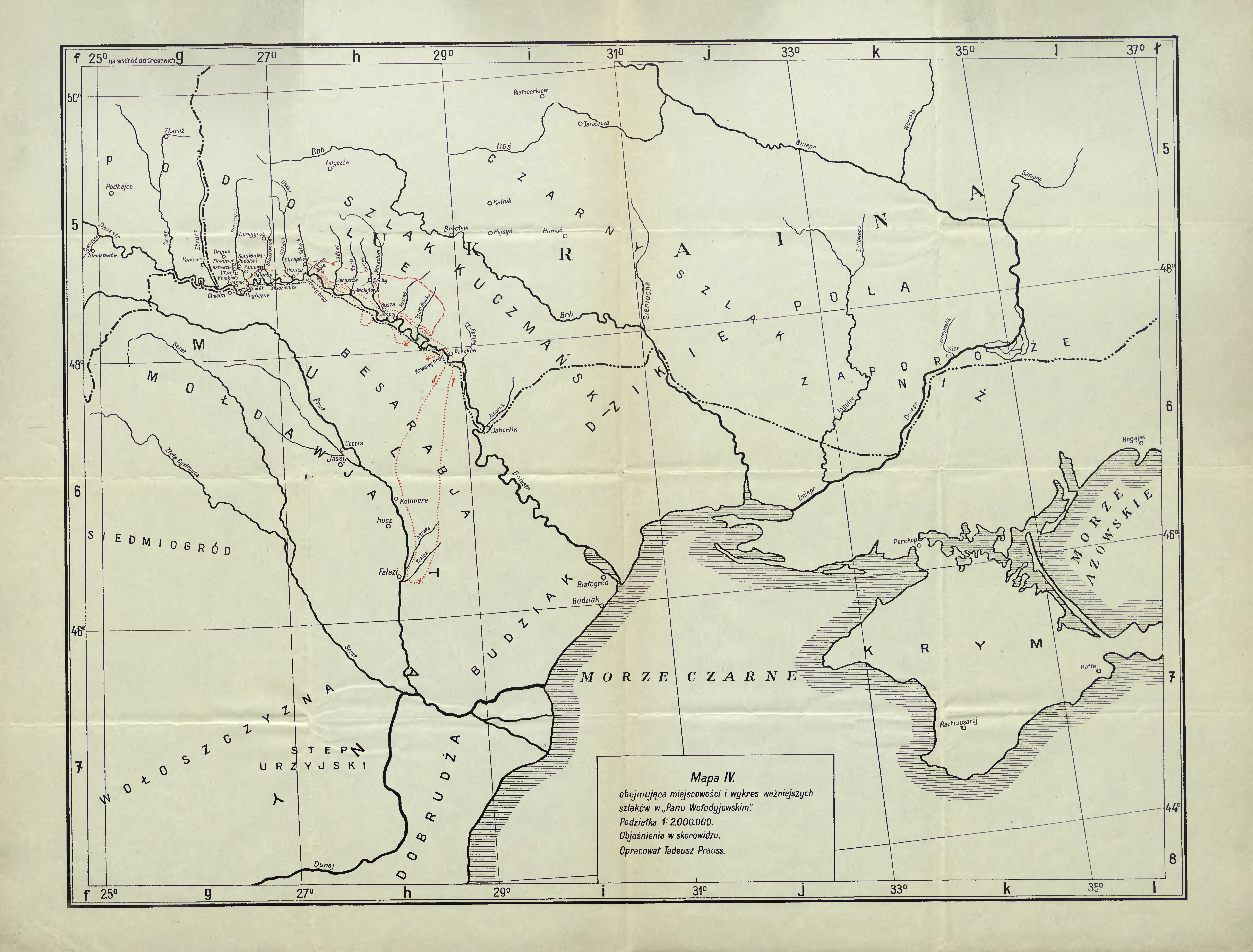
| sheet title | Mapa 4. Obejmująca miejscowości i wykres ważniejszych szlaków w "Panu Wołodyjowskim" |
|---|
| modern name | Map 4. Containing the localities and the delineation of main routes in "Fire in the Steppe" |
|---|
| publication year | 1930 |
|---|
| map/scan condition | good |
|---|
| scan resolution | 300 dpi |
|---|
| scan colors | rgb |
|---|
| remarks | Opracował Tadeusz Prauss / Elaborated by Tadeusz Prauss |
|---|
| file added | 2014-03-31 |
|---|
| entry edited | 2014-03-31 23:17:38 |
|---|
| from the collection of | Małopolska Biblioteka Cyfrowa |
|---|
| source reference | bc id: 1210 |
|---|


