


| plik mapy | ssees0025_A_new_map_of_Hungary-1799.jpg |
|---|---|
| rozmiar pliku | 7451181 (7.1 MB) |
| godło arkusza | HUNGARY |
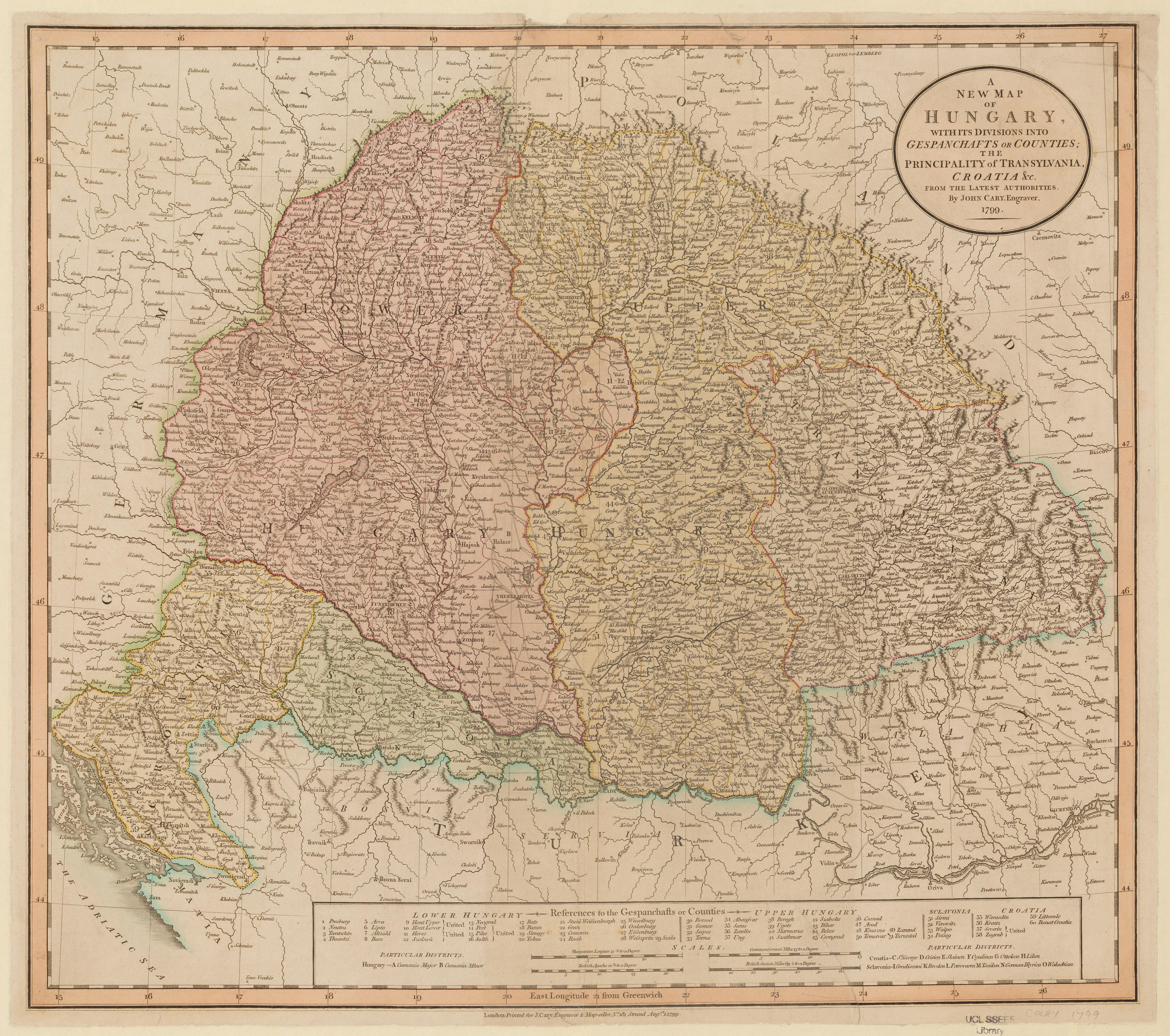
| tytuł arkusza | A new map of Hungary |
| rok wydania | 1799 |
| stan mapy/skanu | dobry |
| rozdzielczość | 300 dpi |
| kolory skanu | rgb |
| uwagi | A new map of Hungary :with its divisions into gespanchafts or counties, the principality of Transylvania, Croatia etc. : from the latest authorities /by John Cary, engraver. Cary, John, ca. 1754-1835. From the collections of UCL SSEES Library London : printed for J. Cary ... , 1799 |
| plik dodano | 2014-04-10 |
| wpis edytowano | 2014-04-11 22:14:33 |
| ze zbiorów | University College of London, School of Slavonic and East European Studies |
| licencja dostawcy | Copyright UCL Library Services, 2010, licensed under Creative Commons Attribution-NonCommercial-ShareAlike 2.0 UK: England and Wales Licence. For further information on this Licence please refer to: http://creativecommons.org/licenses/by-nc-sa/2.0/uk/ |
