


| map file | ssees0026_A_new_map_of_the_Kingdom_of_Hungary-ca1725.jpg |
|---|---|
| file size | 8763926 (8.4 MB) |
| sheet number | HUNGARY |
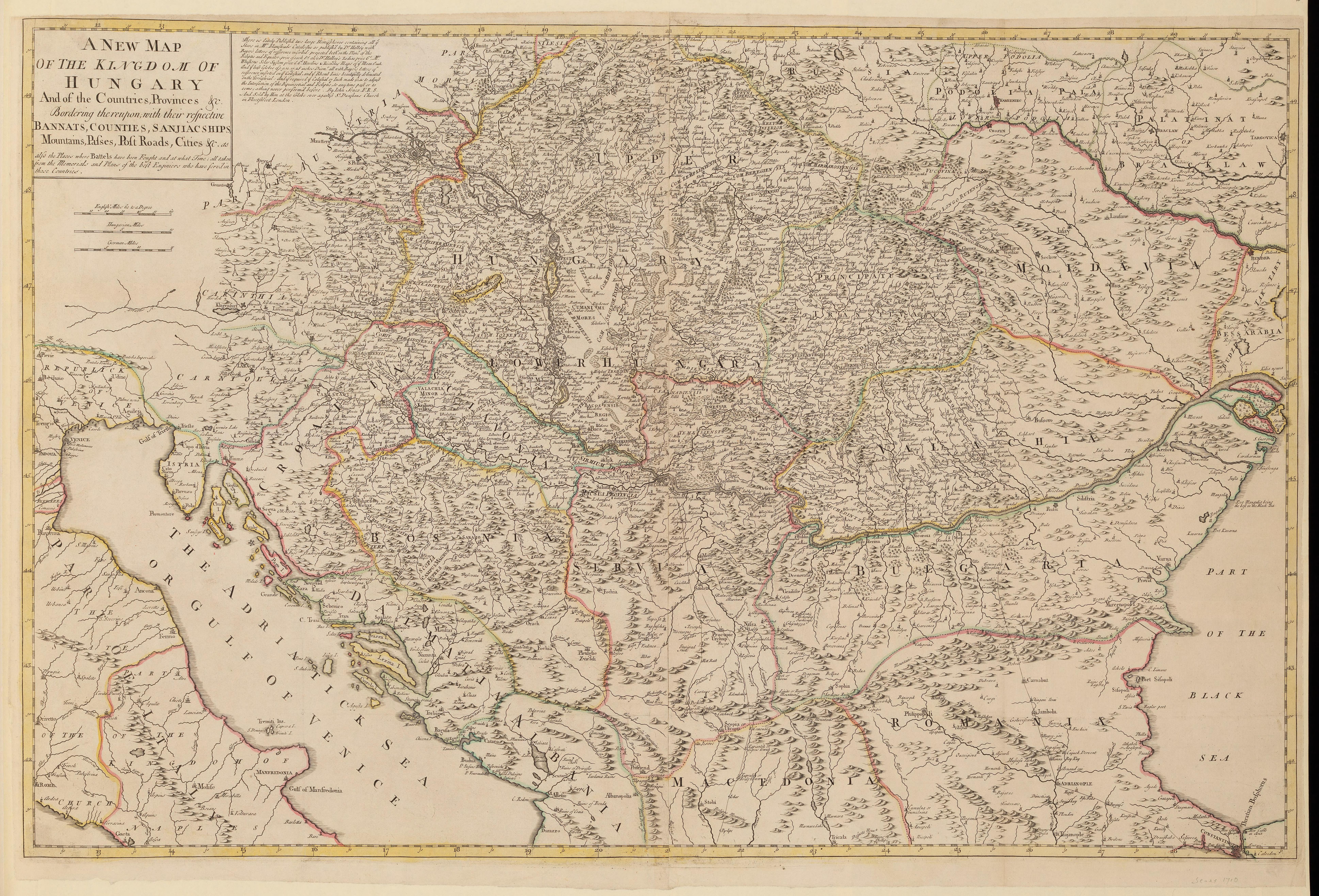
| sheet title | A new map of the Kingdom of Hungary |
| publication year | ±1725 |
| map/scan condition | good |
| scan resolution | 300 dpi |
| scan colors | rgb |
| remarks | A new map of the Kingdom of Hungary and of the countries, provinces etc. bordering thereupon :with their respective bannats, counties, sanjiacships, mountains, passes, post roads, cities etc. : as also the places where battels have been fought and at what time : all taken from the memorials and plans of the best enginiers who have serv'd in those countries /by Iohn Senex FRS. Senex, John, d. 1740. From the collections of UCL SSEES Library London : Iohn Senex ... , [ca. 1725] |
| file added | 2014-04-10 |
| entry edited | 2014-04-11 22:14:33 |
| from the collection of | University College of London, School of Slavonic and East European Studies |
| supplier's licence | Copyright UCL Library Services, 2010, licensed under Creative Commons Attribution-NonCommercial-ShareAlike 2.0 UK: England and Wales Licence. For further information on this Licence please refer to: http://creativecommons.org/licenses/by-nc-sa/2.0/uk/ |
