


| map file | ssees0012_Karta_Ingermanlandii_i_Karelii-ca1735.jpg |
|---|---|
| file size | 6573340 (6.3 MB) |
| sheet number | FINLAND |
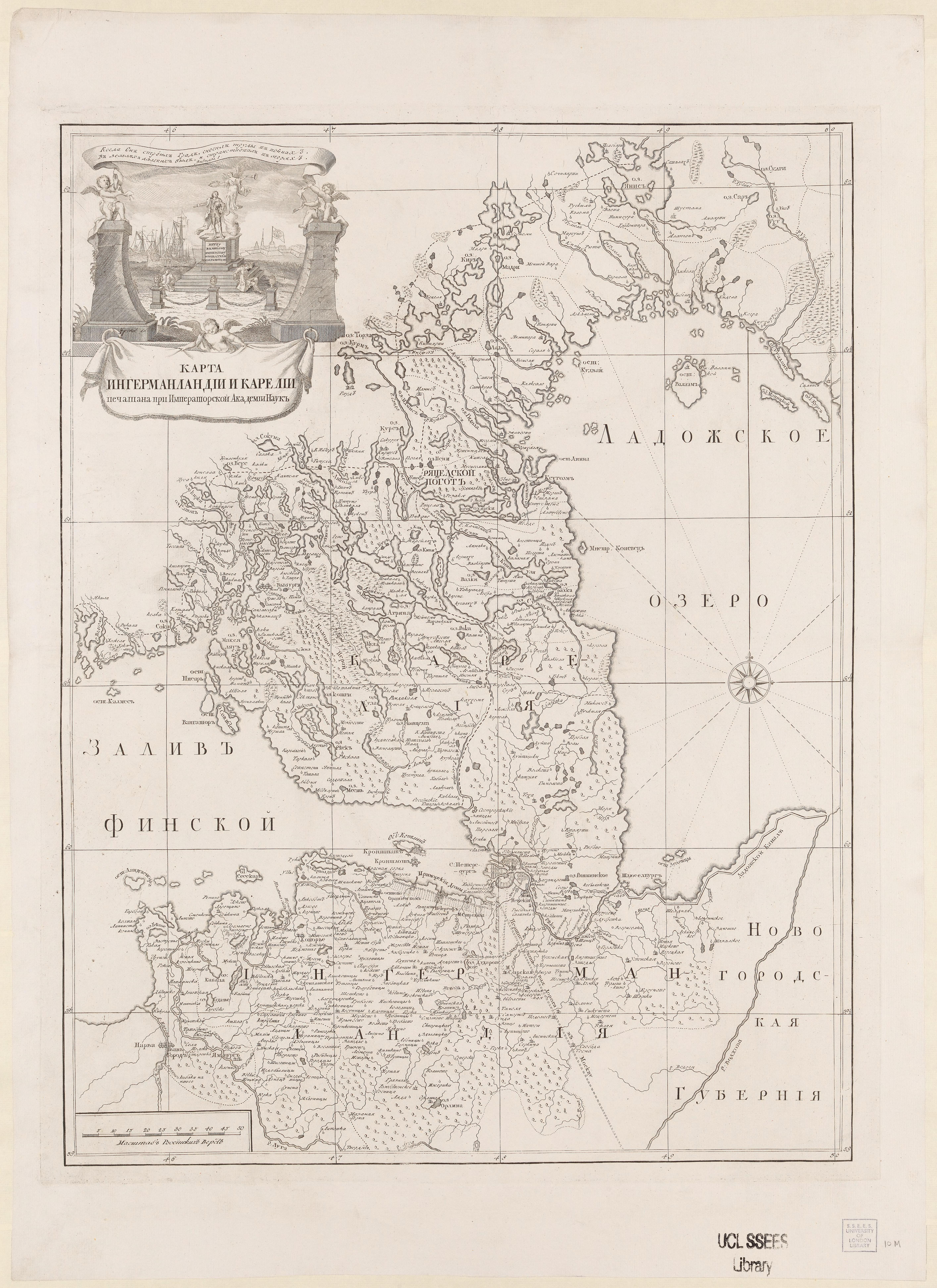
| sheet title | Karta Ingermanlandii i Karelii |
| publication year | ±1735 |
| map/scan condition | good |
| scan resolution | 300 dpi |
| scan colors | rgb |
| remarks | Karta Ingermanlandii i Karelii =[Map of Ingria and Carelia]. Grimmel, J. From the collections of UCL SSEES Library [St. Petersburg? : Pechatana pri Imperatorskoĭ Akademii Nauk , 1735?] |
| file added | 2014-04-10 |
| entry edited | 2014-04-11 23:13:37 |
| from the collection of | University College of London, School of Slavonic and East European Studies |
| supplier's licence | Copyright UCL Library Services, 2010, licensed under Creative Commons Attribution-NonCommercial-ShareAlike 2.0 UK: England and Wales Licence. For further information on this Licence please refer to: http://creativecommons.org/licenses/by-nc-sa/2.0/uk/ |
