


| map file | ssees0114_Carte_du_bassin_du_Danube-ca1800.jpg |
|---|---|
| file size | 2773471 (2.6 MB) |
| sheet number | BALKANS |
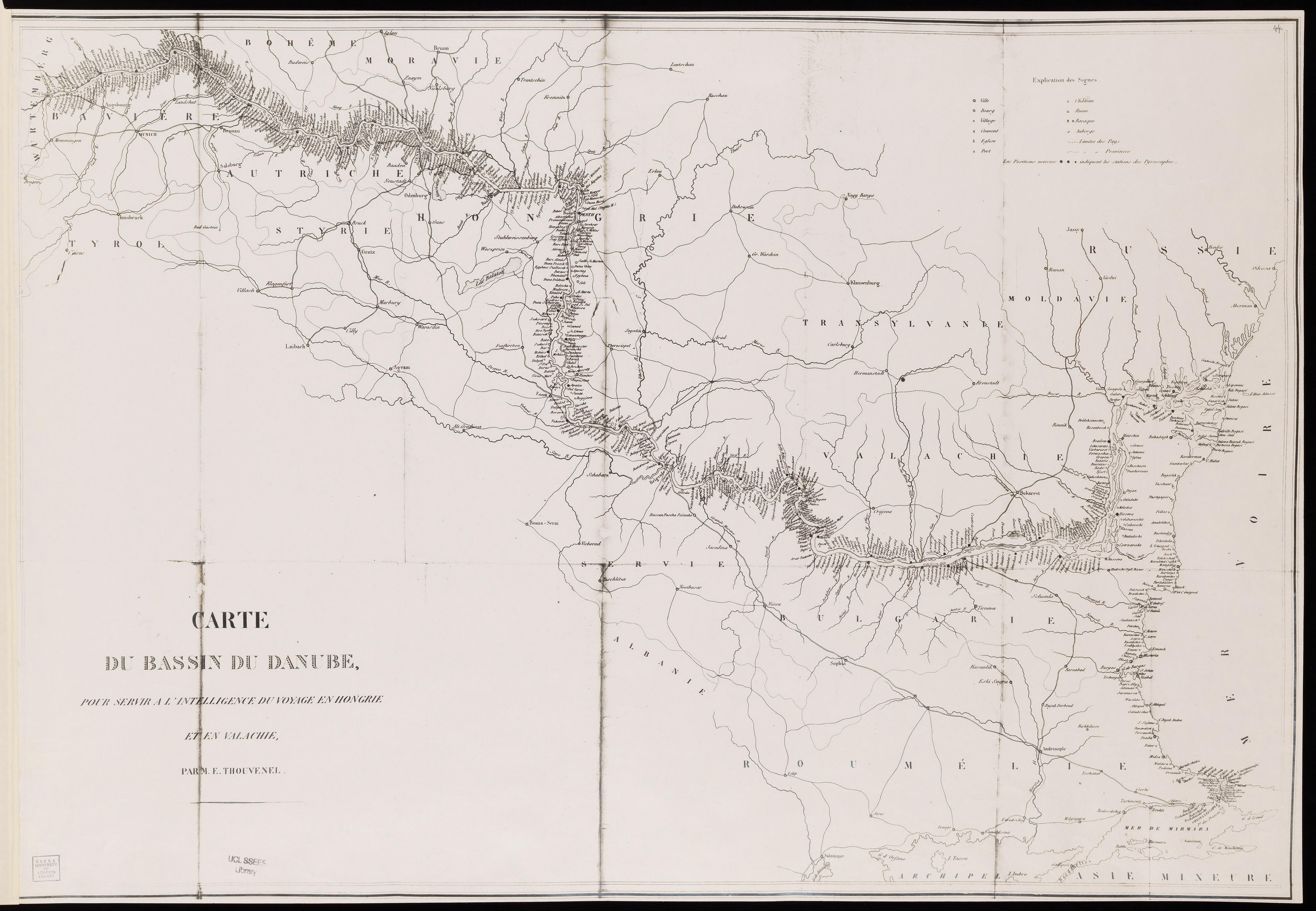
| sheet title | Carte du bassin du Danube |
| publication year | ±1800 |
| map/scan condition | good |
| scan resolution | 300 dpi |
| scan colors | rgb |
| remarks | Carte du bassin du Danube :pour servir à l'intelligence du voyage en Hongrie et en Valachie /par M.E. Thouvenel. Thouvenel, M. E From the collections of UCL SSEES Library [S.l. : s.n. , 18--?] |
| file added | 2014-04-12 |
| entry edited | 2014-04-12 12:27:19 |
| from the collection of | University College of London, School of Slavonic and East European Studies |
| supplier's licence | Copyright UCL Library Services, 2010, licensed under Creative Commons Attribution-NonCommercial-ShareAlike 2.0 UK: England and Wales Licence. For further information on this Licence please refer to: http://creativecommons.org/licenses/by-nc-sa/2.0/uk/ |
