


| Kartedatei | LoC_mf000019_Chart_showing_locality_where_seals_were_taken_adjacent_to_the_Commander_Islands_in_1892.jpg |
|---|---|
| Dateigröße | 25162778 (24.0 MB) |
| Blattnummer | RUSSIA |
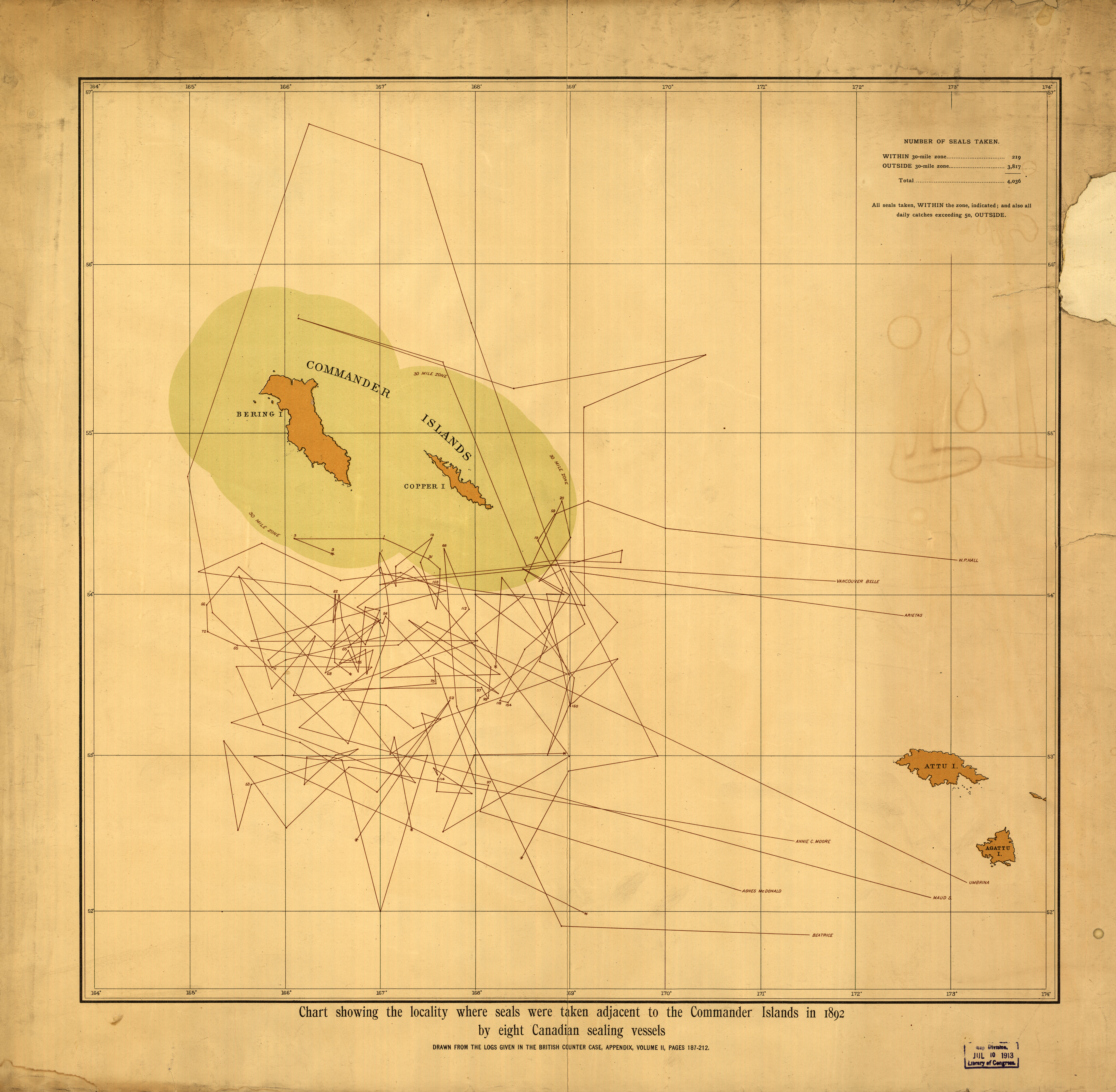
| Blatttitel | Chart showing the locality where seals were taken adjacent to the Commander Islands |
| gegenwärtige Name | Mapa pokazująca miejsce gdzie schwytano foki, sąsiadujące z Wsypami Komandorskimi |
| Veröffentlichungsjahr | 1892 |
| Karte/Scanzustand | gut |
| Scanauflösung | 300 dpi |
| Scanfarben | rgb |
| Datei hinzugefügt | 2014-04-21 |
| Eintrag editiert | 2014-04-21 18:45:55 |
| aus der Sammlung von | The Library of Congress, Washington, DC, USA |
