


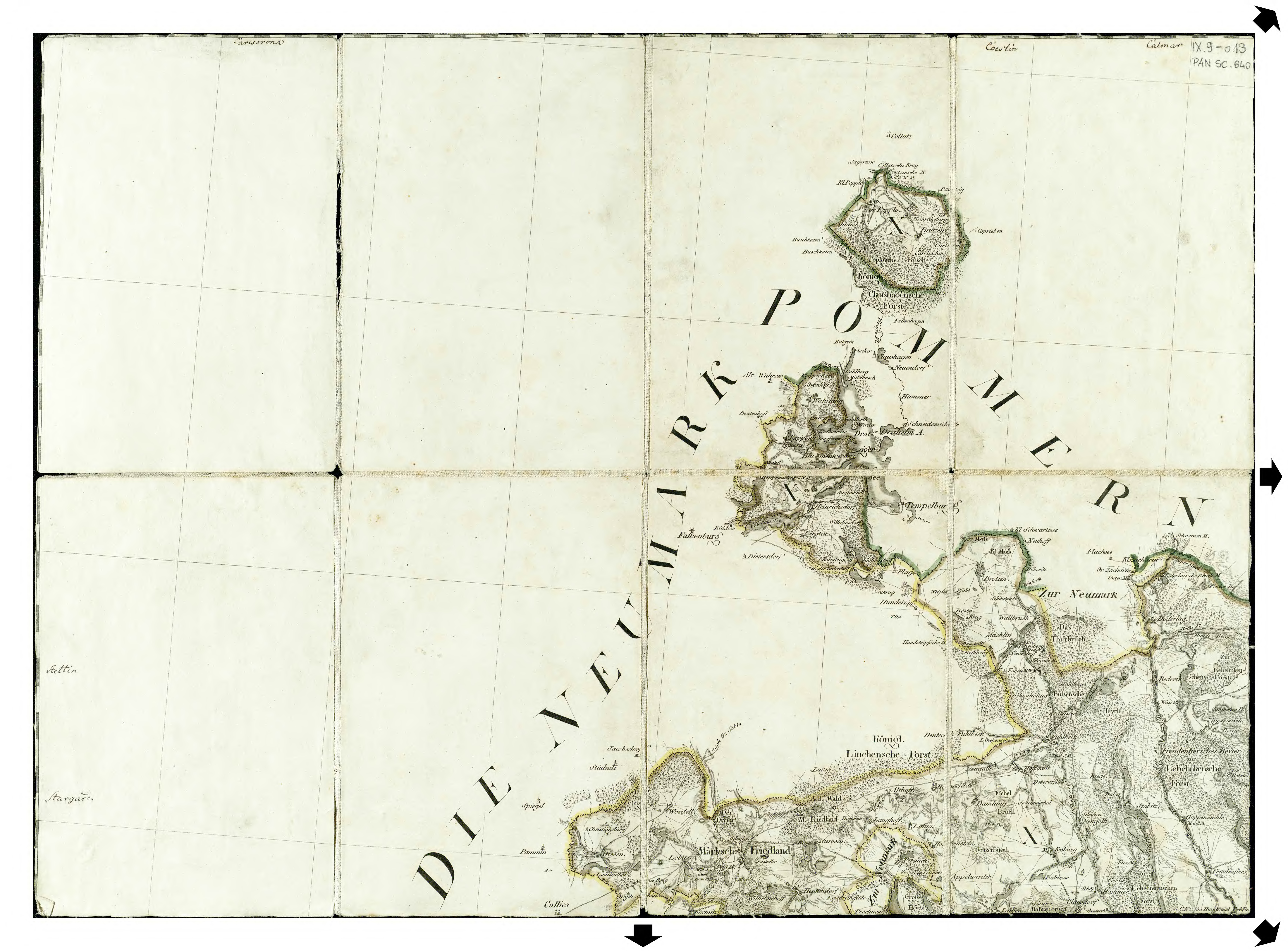
| map file | Schroetter-KvOWP_013_XIII_Maerksch_Friedland_1796-1802_300dpi_RCIN.jpg |
|---|---|
| file size | 12232636 (11.7 MB) |
| sheet number | XIII |
| sheet title | Märkisch Friedland |
| modern name | Mirosławiec |
| publication year | 1802 |
| map/scan condition | average |
| scan resolution | 300 dpi |
| scan colors | rgb |
| file added | 2014-08-23 |
| entry edited | 2014-08-23 13:19:00 |
| from the collection of | Repozytorium Cyfrowe Instytutów Naukowych |
| source reference | bc id: 829 |
