11770200 @ GSGS 4416 / AMS M641, 651, 671 Germany, Poland, Middle Danube 1:100 000
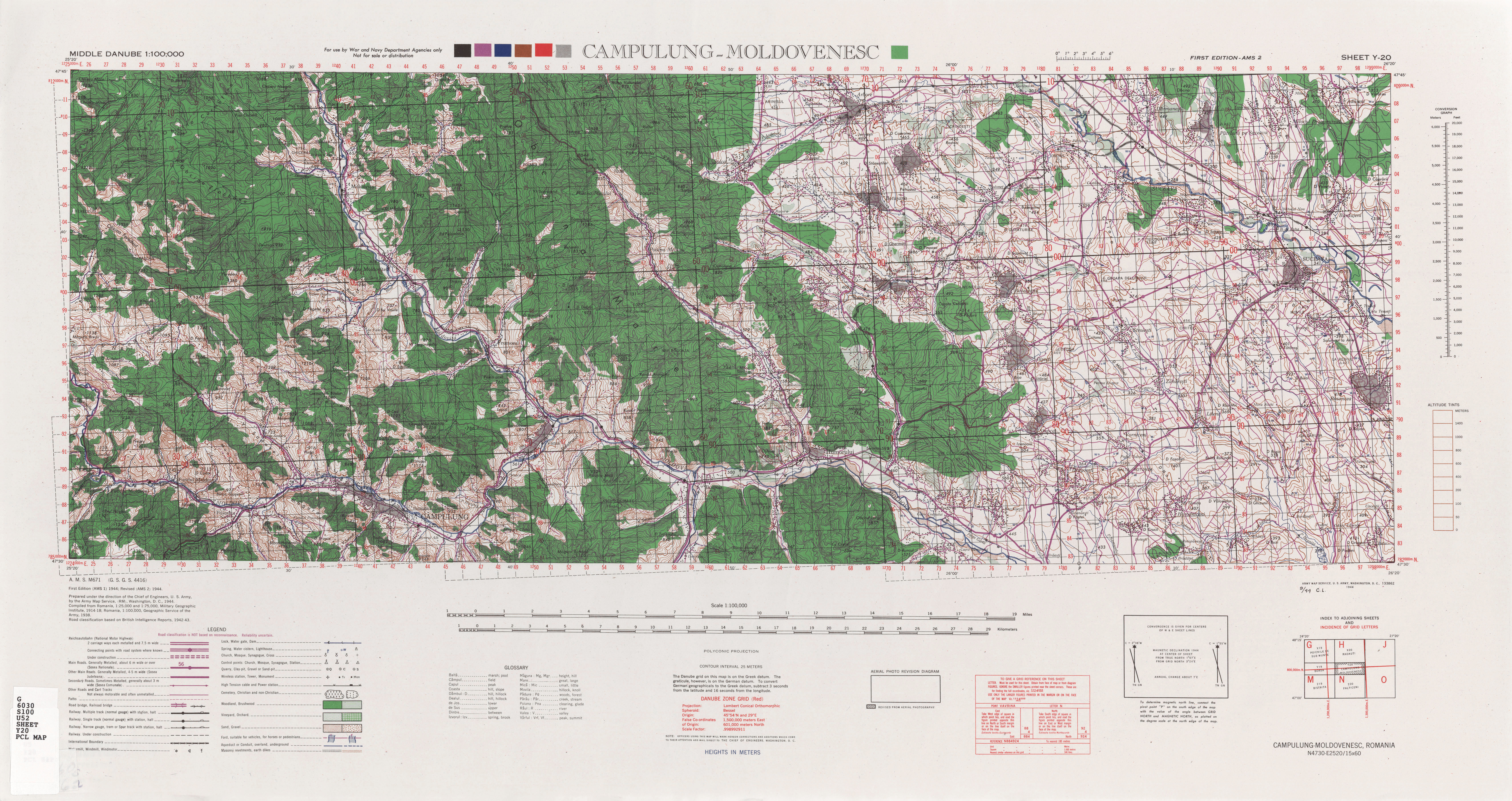
| map file | GSGS4416_Y-20_Campulung-Moldovenesc_100K_Ed1-AMS2_1944_tux.jpg |
|---|
| file size | 6377221 (6.1 MB) |
|---|
| sheet number | Y20 |
|---|
| sheet title | Campulung Moldovenesc |
|---|
| modern name | Câmpulung Moldovenesc |
|---|
| alternative name | Moldvahosszúmező |
|---|
| publication year | 1944 |
|---|
| publisher | Geographical Section, General Staff / field survey coys (RE) (Wielka Brytania) |
|---|
| map/scan condition | average |
|---|
| scan resolution | 300 dpi |
|---|
| remarks | 1st Edition, AMS 2 revised |
|---|
| file added | 1905-06-20 |
|---|
| entry edited | 2014-10-05 12:52:00 |
|---|
| from the collection of | University of Texas Library |
|---|


