


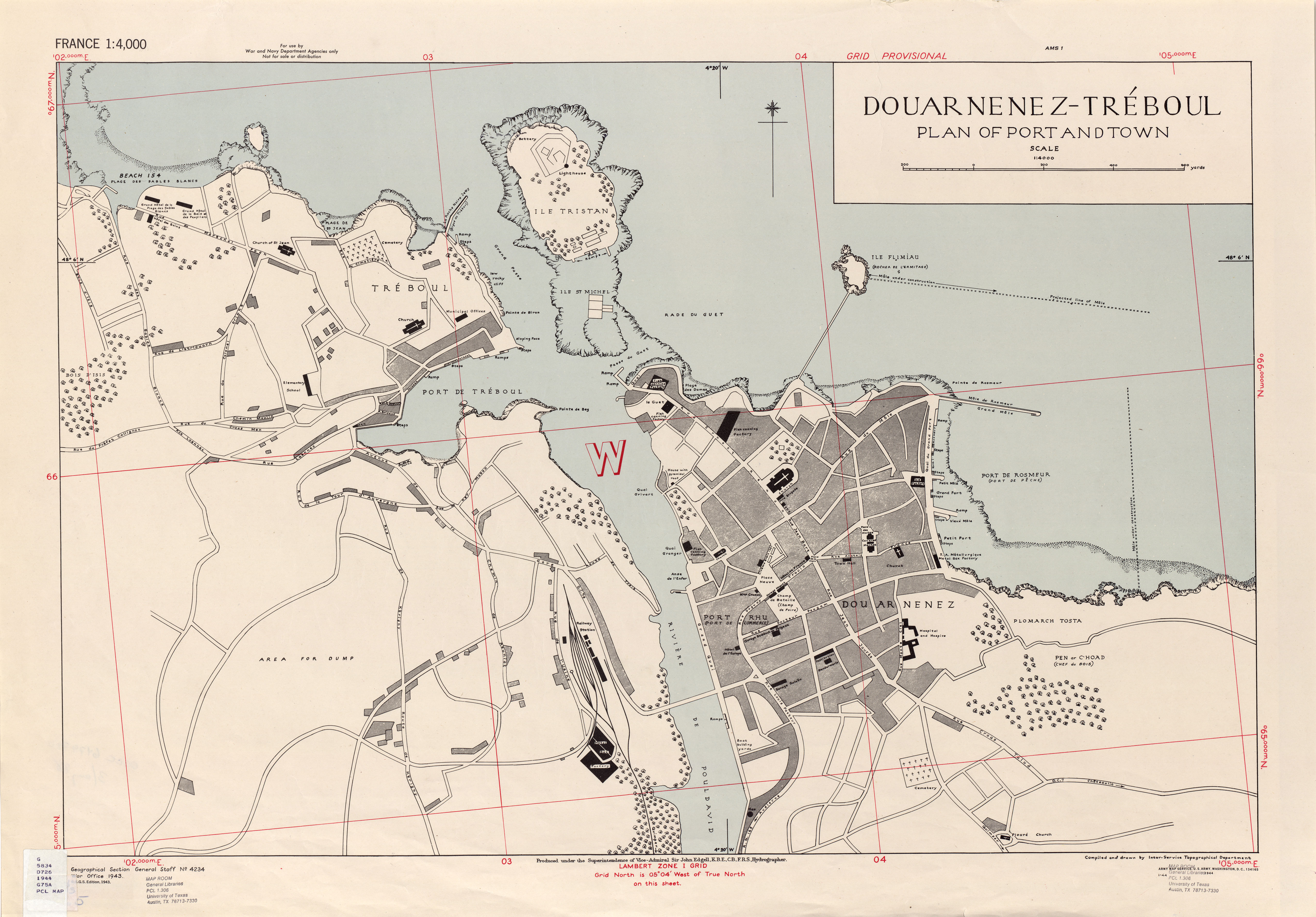
| map file | GSGS_4234_FRANCE_DOUARNENEZ-TRÉBOUL_PLAN_OF_PORT_AND_TOWN_4K_1-1944_AMS1_PCC6479720.jpg |
|---|---|
| file size | 3597833 (3.4 MB) |
| sheet number | Douarnenez-Tréboul (GSGS 4234 France) |
| map sheet scale | 1:4,000 |
| sheet title | DOUARNENEZ-TRÉBOUL |
| annotation | GSGS 4234 France city plans |
| publication year | 1944 |
| publisher | Army Map Service, Defense Mapping Agency |
| map/scan condition | average |
| scan resolution | -200 dpi |
| scan colors | rgb |
| remarks | First edition 1-1944 AMS1 |
| file added | 2017-10-03 |
| entry edited | 2017-10-03 00:42:39 |
| from the collection of | University of Texas Library |
| source reference | dl id: 6479720 |
