


| Kartedatei | MISC_MAP_NO_3018_PORT_OF_ST._MALO_-_ST._SERVAN_11_FEBRUARY_1944_OSS_PROVISIONAL_EDITION_Back_BallUniv.jpg |
|---|---|
| Dateigröße | 952529 (0.9 MB) |
| Blattnummer | Saint-Malo (GSGS 4234 France) |
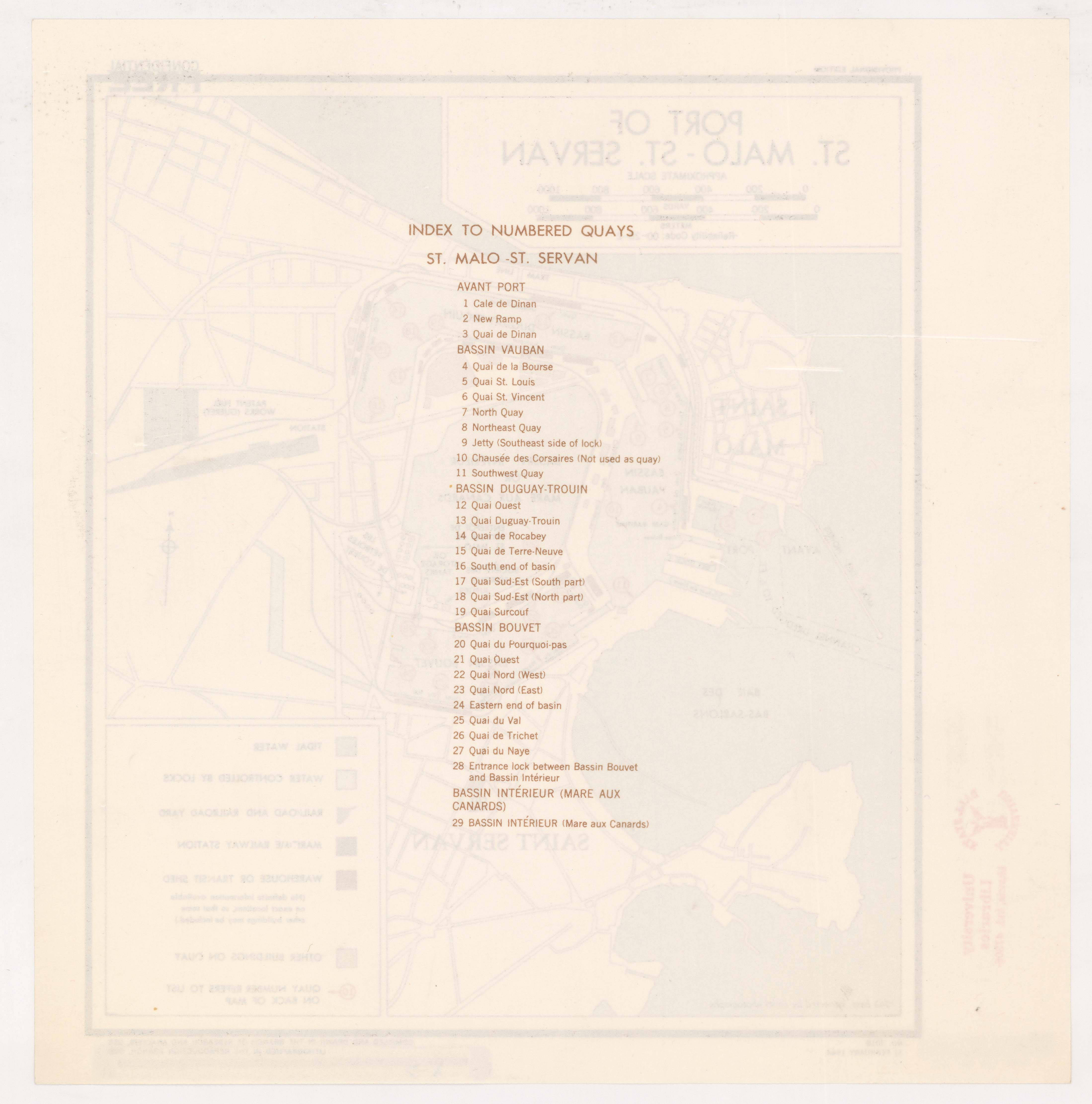
| Blatttitel | ST. MALO PLAN OF PORT AND TOWN [2] |
| Notiz | GSGS 3018 |
| Veröffentlichungsjahr | 1944 |
| Karte/Scanzustand | gut |
| Scanauflösung | -300 dpi |
| Scanfarben | rgb |
| Hinweise | PROVISIONAL EDITION 11 FEBRYARY 1944 |
| Datei hinzugefügt | 2017-12-30 |
| Eintrag editiert | 2017-12-30 20:40:56 |
| aus der Sammlung von | Ball State University 2000 W. University Ave. Muncie, IN 47306 U.S.A. |
| G5834.S33 1944.U5 http://liblink.bsu.edu/catkey/1258871 | |
| Quelleanmerkung | AMSFCPM-1258871 http://libx.bsu.edu/cdm/compoundobject/collection/AMSFranceCt/id/23/rec/26 http://libx.bsu.edu/cdm4/collection.php?CISOROOT=/AMSFranceCt |
