


| map file | Mil-Topogr_Karte_Mogilew_u._Umgebung_10K_Bl_04_c.1942_G7094.M3_s10_.M5.jpg |
|---|---|
| file size | 4367537 (4.2 MB) |
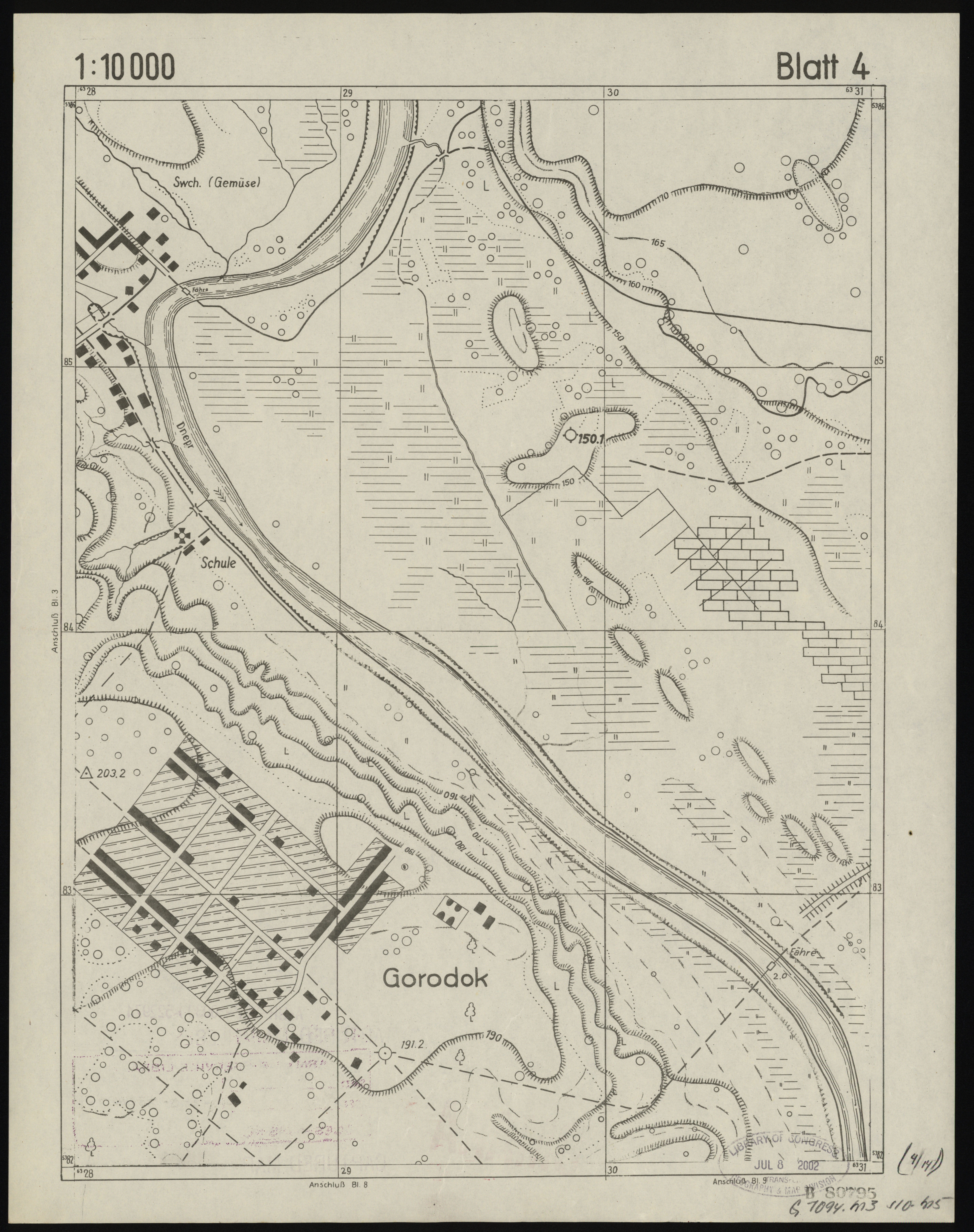
| sheet number | 4 |
| map sheet scale | 1:10,000 |
| sheet title | Militär-topogr. Karte v. Mogilew und Umgebung Blatt 04 |
| publication year | ±1942 |
| map/scan condition | good |
| scan resolution | 400 dpi |
| scan colors | rgb |
| file added | 2018-02-05 |
| entry edited | 2018-02-05 22:38:16 |
| from the collection of | The Library of Congress, Washington, DC, USA |
| call no | G7094.M3 s10 .M5 |
| source reference | https://lccn.loc.gov/2002620848 |
