


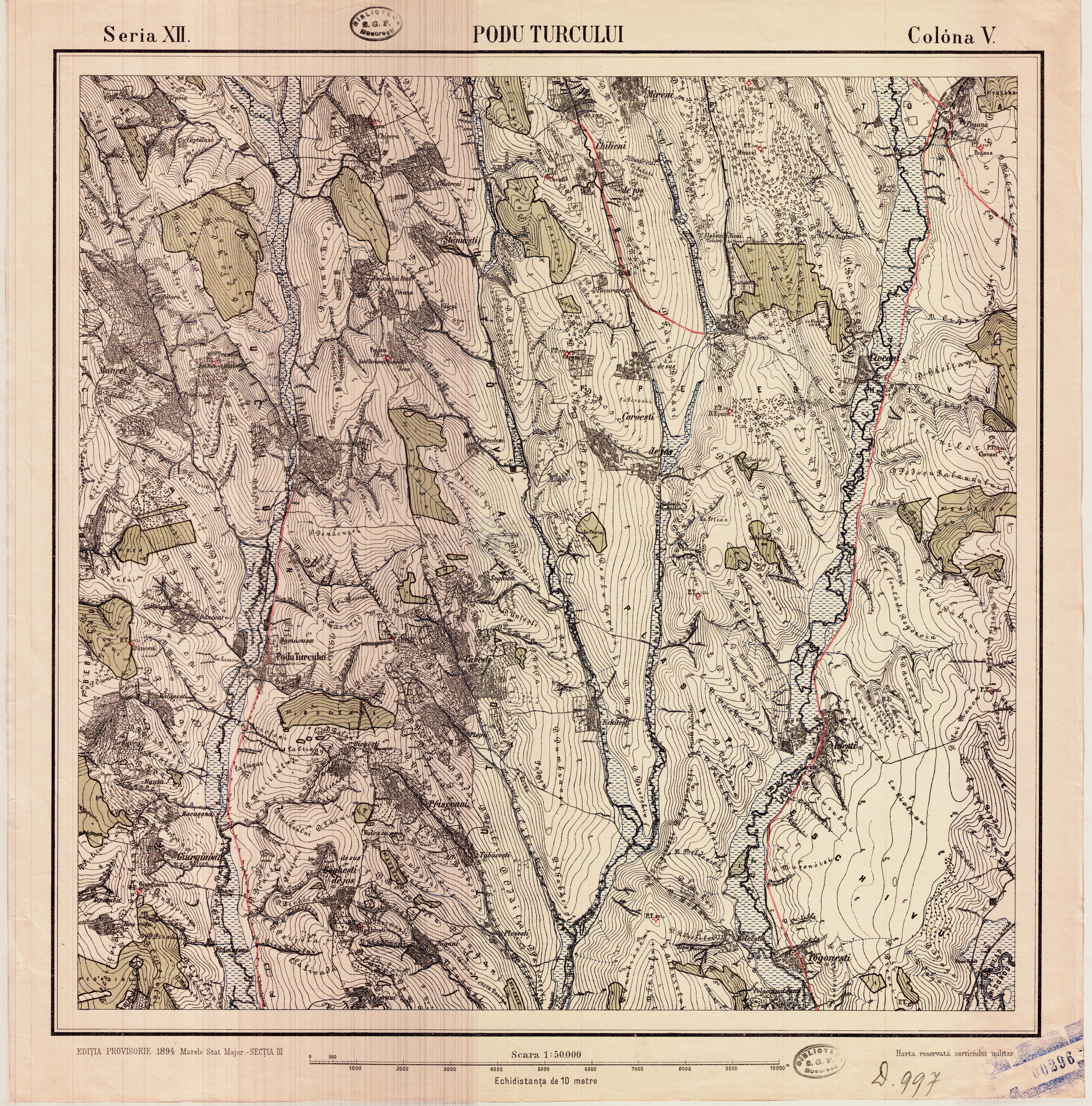
| map file | Romania50K_V12_Podu_Turcului_1894_300dpi_eHarta1@152.jpg |
|---|---|
| file size | 8374982 (8.0 MB) |
| sheet number | Ser.XII Col.V (eastern zone) |
| sheet title | Podu Turcului |
| publication year | 1894 |
| publisher | Predecessors of Institutul Geografic Militar [Romania] |
| scan resolution | 300 dpi |
| scan colors | rgb |
| file added | 2019-04-17 |
| entry edited | 2019-04-17 23:25:46 |
| from the collection of | geo-spatial.org (eHarta) |
| source reference | subcollection id: 1, item id: 152 |
