


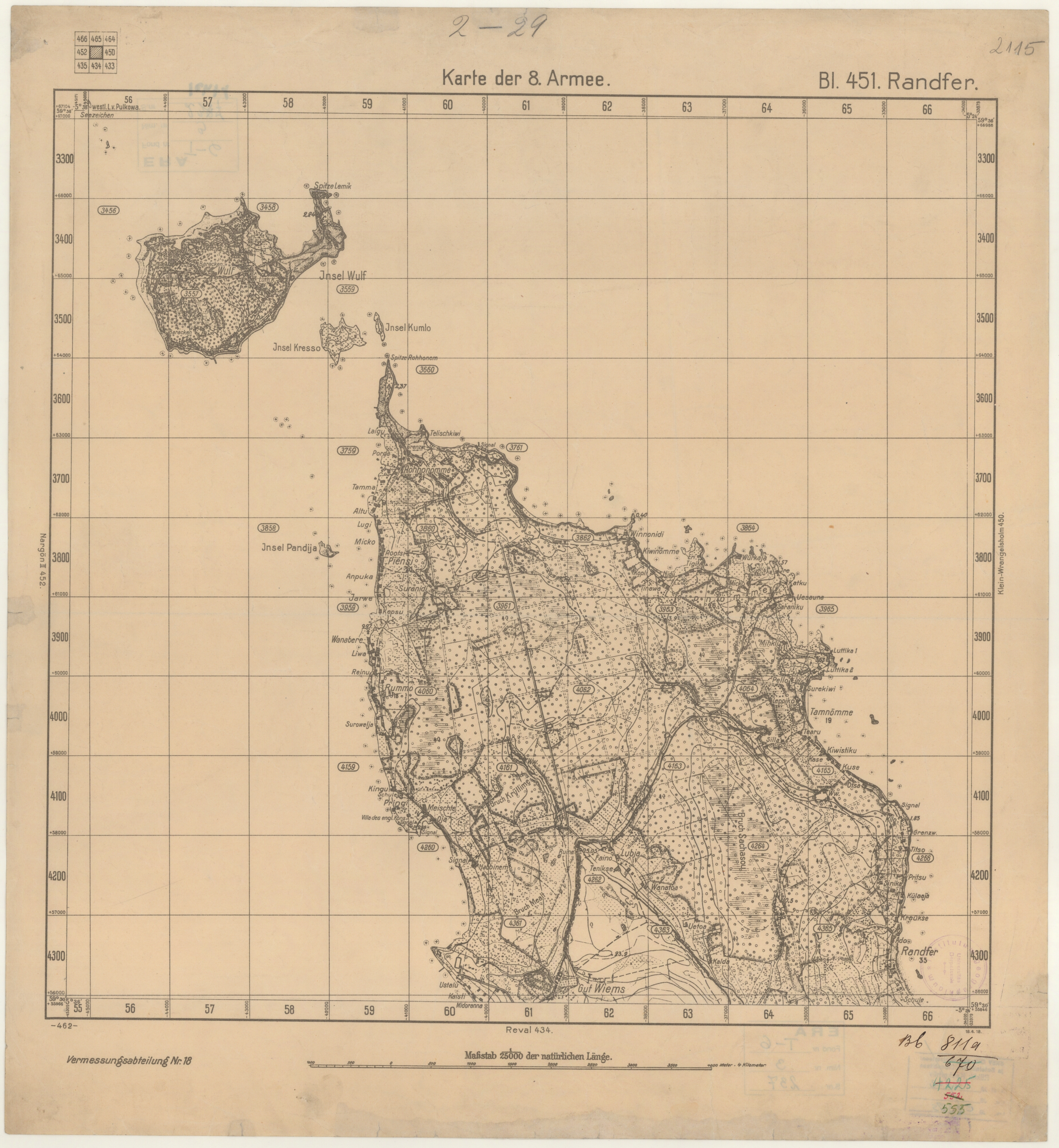
| map file | 2-29_Bl._451_Randfer_1918_ra.ee_ERA.T-6.3.237_sheet_1.jpg |
|---|---|
| file size | 10359384 (9.9 MB) |
| sheet number | 2-29 |
| map sheet scale | 1:25,000 |
| sheet title | Bl. 451 Randfer |
| publication year | 1918 |
| map/scan condition | bad |
| scan resolution | 200 dpi |
| scan colors | rgb |
| file added | 2020-06-28 |
| entry edited | 2020-06-28 20:31:23 |
| from the collection of | Rahvusarhiiv - National Archives of Estonia (Tartu) |
| call no | ERA.T-6.3.237 |
