


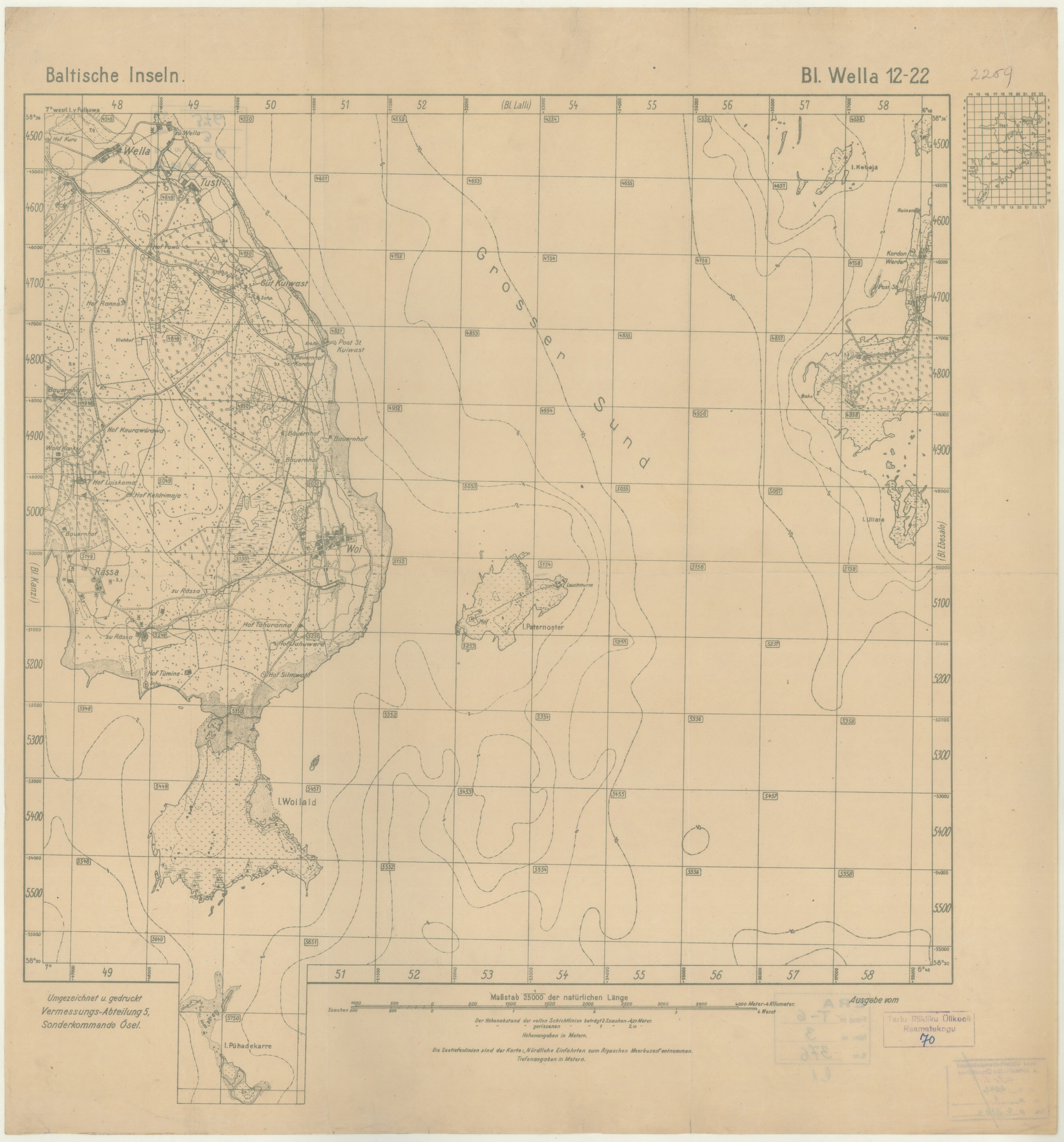
| map file | 12-22_Wella_Baltische_Inseln_c.1918_ra.ee_ERA.T-6.3.376_sheet_1.jpg |
|---|---|
| file size | 9840977 (9.4 MB) |
| sheet number | 12-22 |
| map sheet scale | 1:25,000 |
| sheet title | Wella, Baltische Inseln |
| publication year | ±1918 |
| publisher | Kart. Abt. des stellv. Generalstabes der Armee |
| scan resolution | 200 dpi |
| scan colors | rgb |
| file added | 2020-06-29 |
| entry edited | 2020-06-29 16:47:13 |
| from the collection of | Rahvusarhiiv - National Archives of Estonia (Tartu) |
| call no | ERA.T-6.3.352 sheet 1 |
| source reference | http://www.ra.ee/kaardid/index.php/en |
