


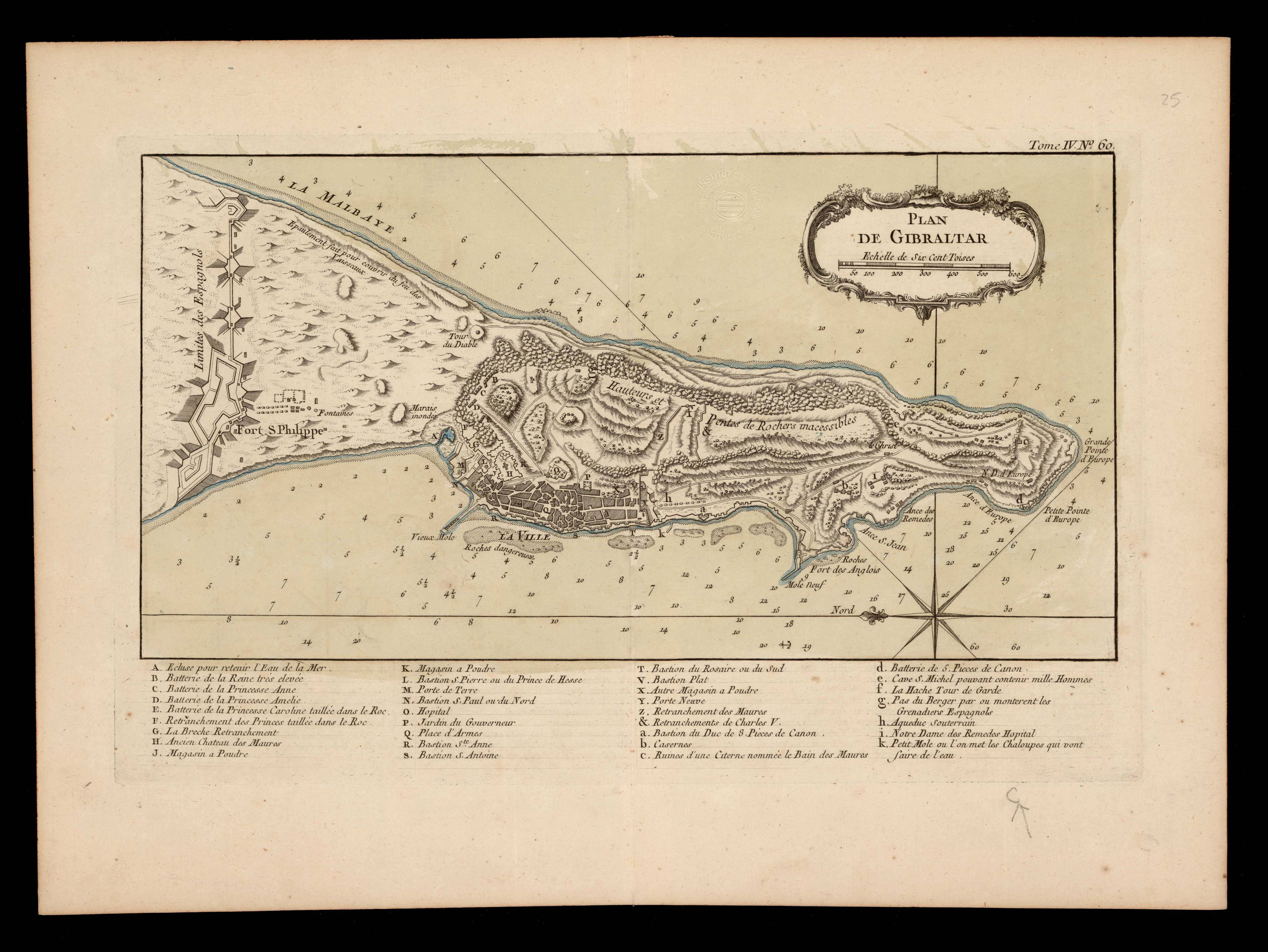
| map file | PLAN_DE_GIBRALTAR_1800_RM.27056.jpg |
|---|---|
| file size | 2303101 (2.2 MB) |
| sheet number | Eur-Iberian |
| sheet title | PLAN DE GIBRALTAR |
| publication year | 1800 |
| map/scan condition | good |
| scan resolution | 300 dpi |
| scan colors | rgb |
| file added | 2020-09-12 |
| entry edited | 2020-09-12 19:00:52 |
| from the collection of | Institut Cartogràfic de Catalunya |
| call no | RM.27056 |
