


| Kartedatei | PLAN_of_the_TOWN_and_Fortifications_of_GIBRALTAR_1750_RM.24632.jpg |
|---|---|
| Dateigröße | 6873660 (6.6 MB) |
| Blattnummer | Eur-Iberian |
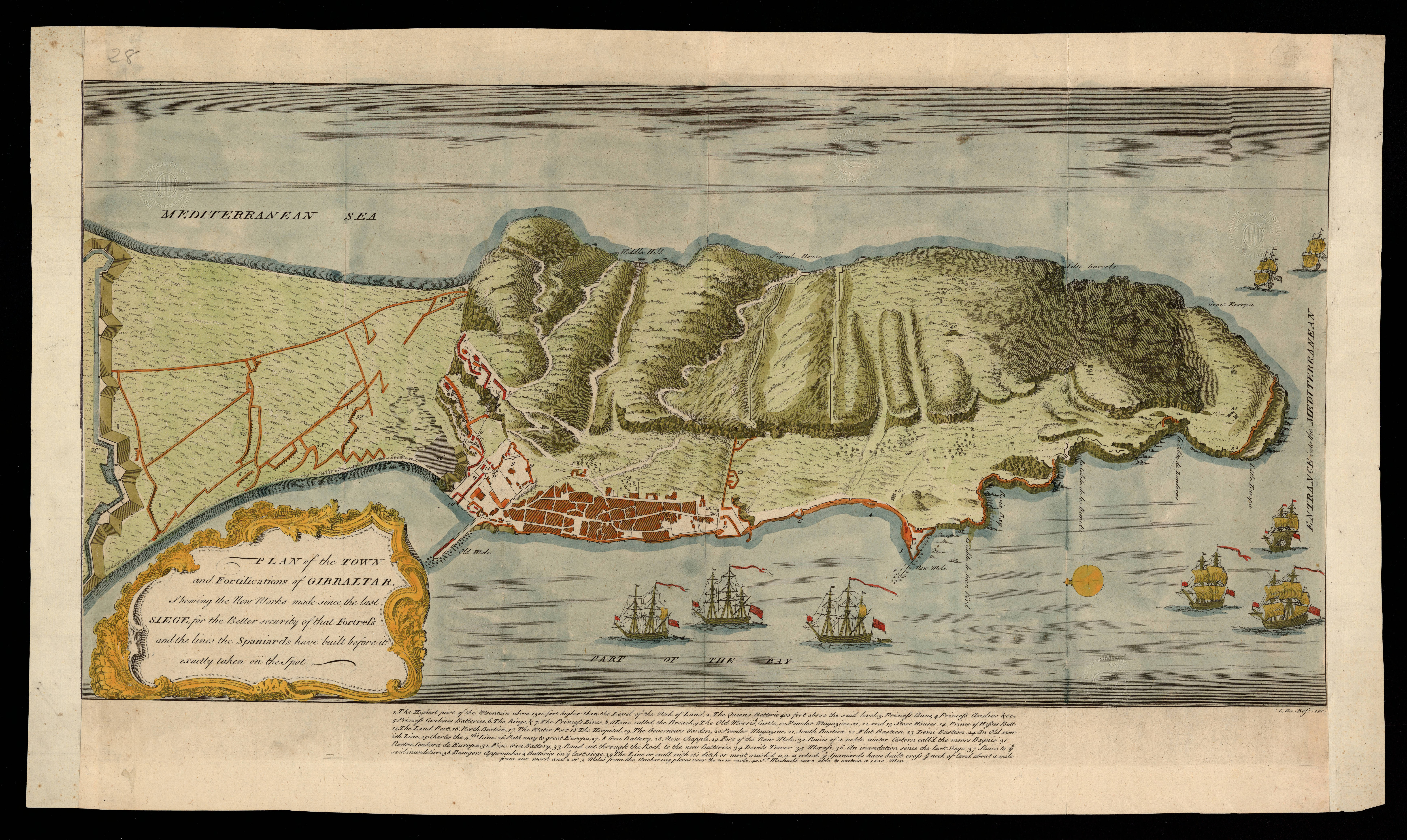
| Blatttitel | PLAN of the TOWN and Fortifications of GIBRALTAR |
| Veröffentlichungsjahr | 1750 |
| Karte/Scanzustand | gut |
| Scanauflösung | 300 dpi |
| Scanfarben | rgb |
| Datei hinzugefügt | 2020-09-12 |
| Eintrag editiert | 2020-09-12 19:03:02 |
| aus der Sammlung von | Institut Cartogràfic de Catalunya |
| 1750_RM.24632 |
