


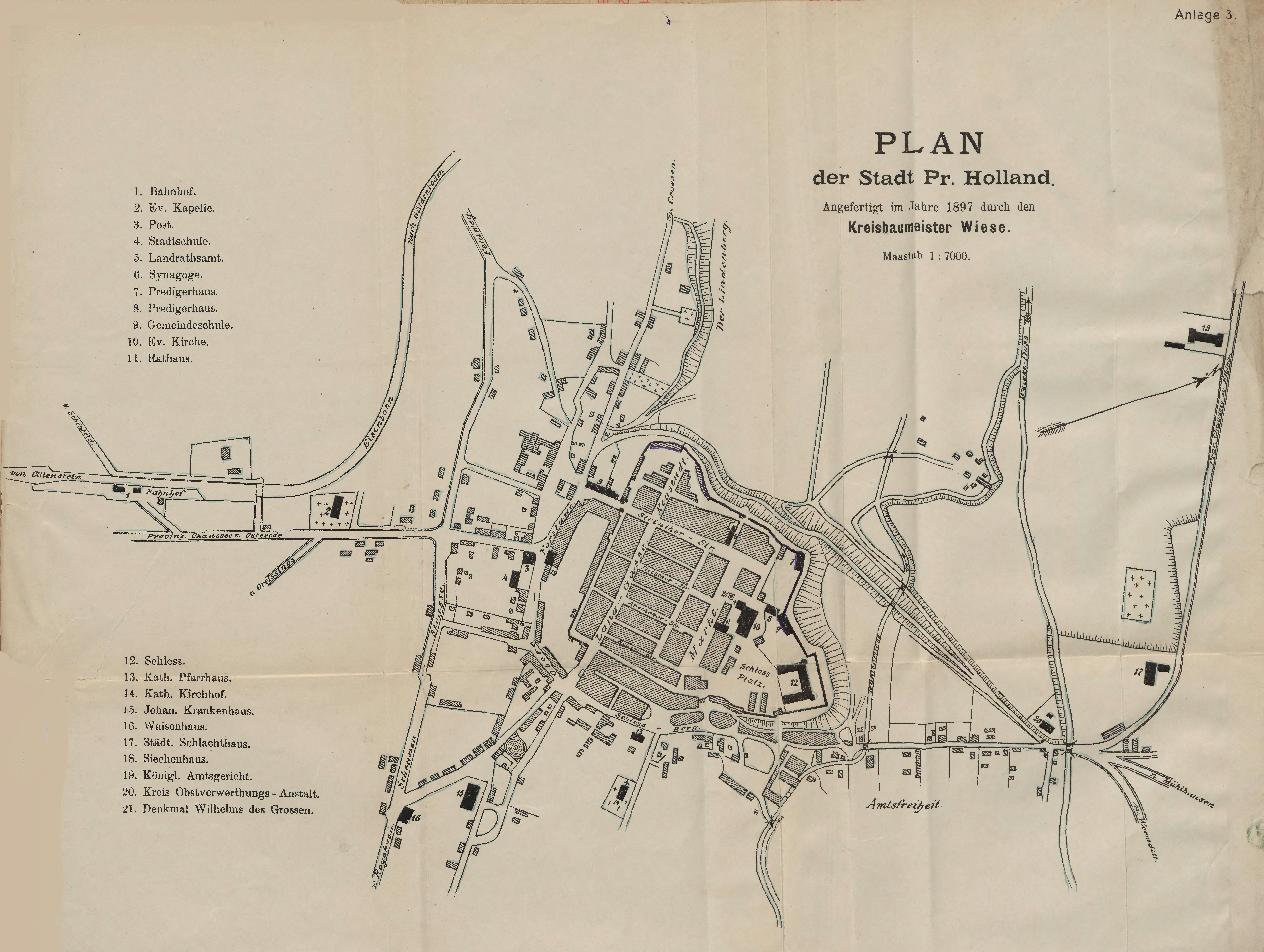
| map file | PLAN_der_Stadt_Pr._Holland_7K_1897_bc_elb.jpg |
|---|---|
| file size | 2857047 (2.7 MB) |
| sheet number | Pasłęk |
| map sheet scale | 1:7,000 |
| sheet title | Plan der Stadt Preußisch Holland |
| publication year | 1897 |
| map/scan condition | bad |
| scan resolution | 200 dpi |
| scan colors | rgb |
| file added | 2020-09-19 |
| entry edited | 2020-09-19 21:19:28 |
| from the collection of | Elbąska Biblioteka Cyfrowa |


