


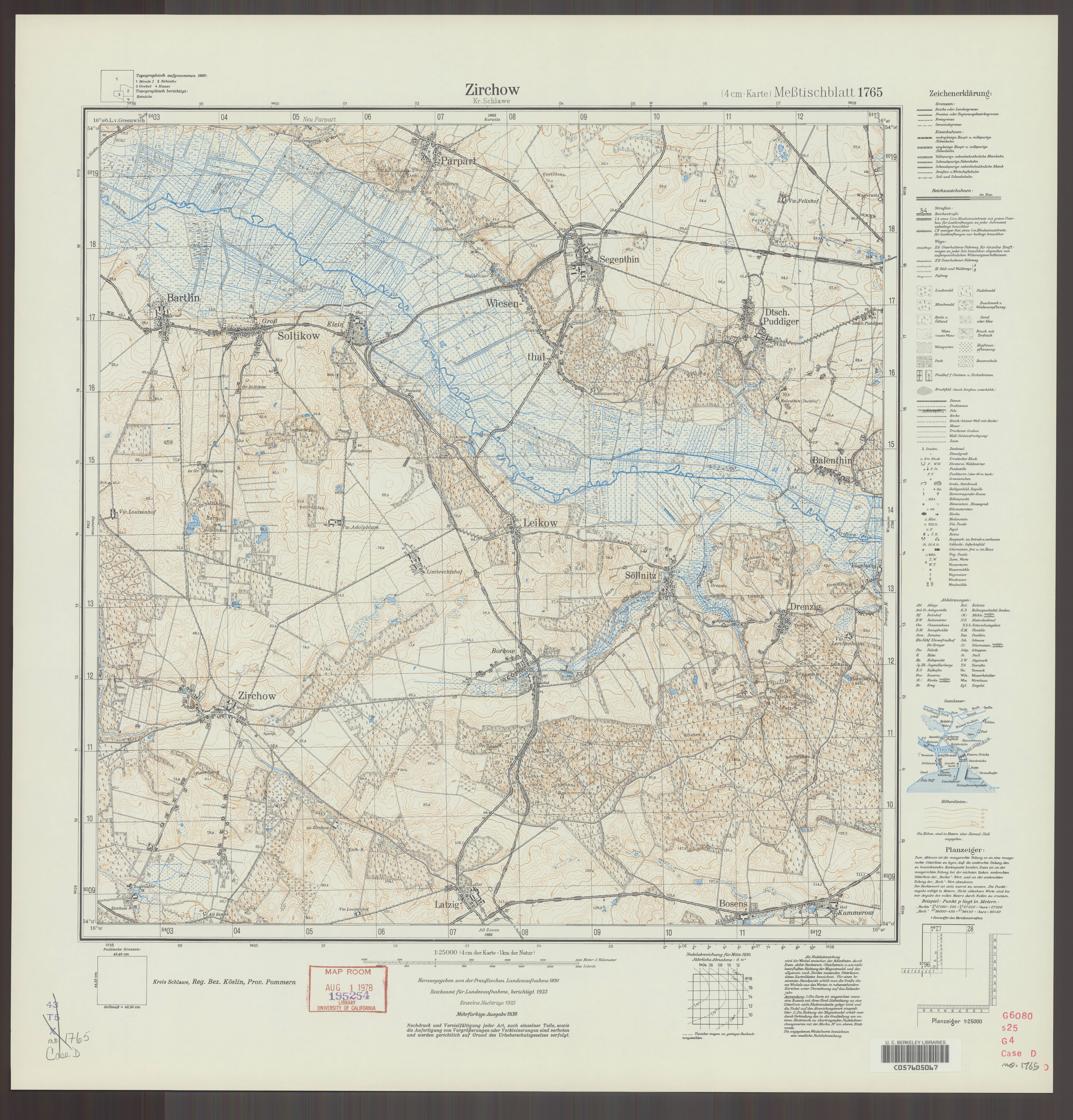
| map file | 1765_Zirchow_Kr._Schlawe_3-farb._1936_uniberk_C057605067.jpg |
|---|---|
| file size | 6654485 (6.3 MB) |
| sheet number | 1765 (450) |
| map sheet scale | 1:25,000 |
| sheet title | Zirchow Kr. Schlawe [mehrfarb.] |
| publication year | 1936 |
| publisher | Reichsamt für Landesaufnahme |
| scan resolution | 300 dpi |
| scan colors | rgb |
| file added | 2020-10-12 |
| entry edited | 2020-10-12 17:21:10 |
| from the collection of | The University of California Berkeley Library |
| call no | dl id: C057605067 |
