


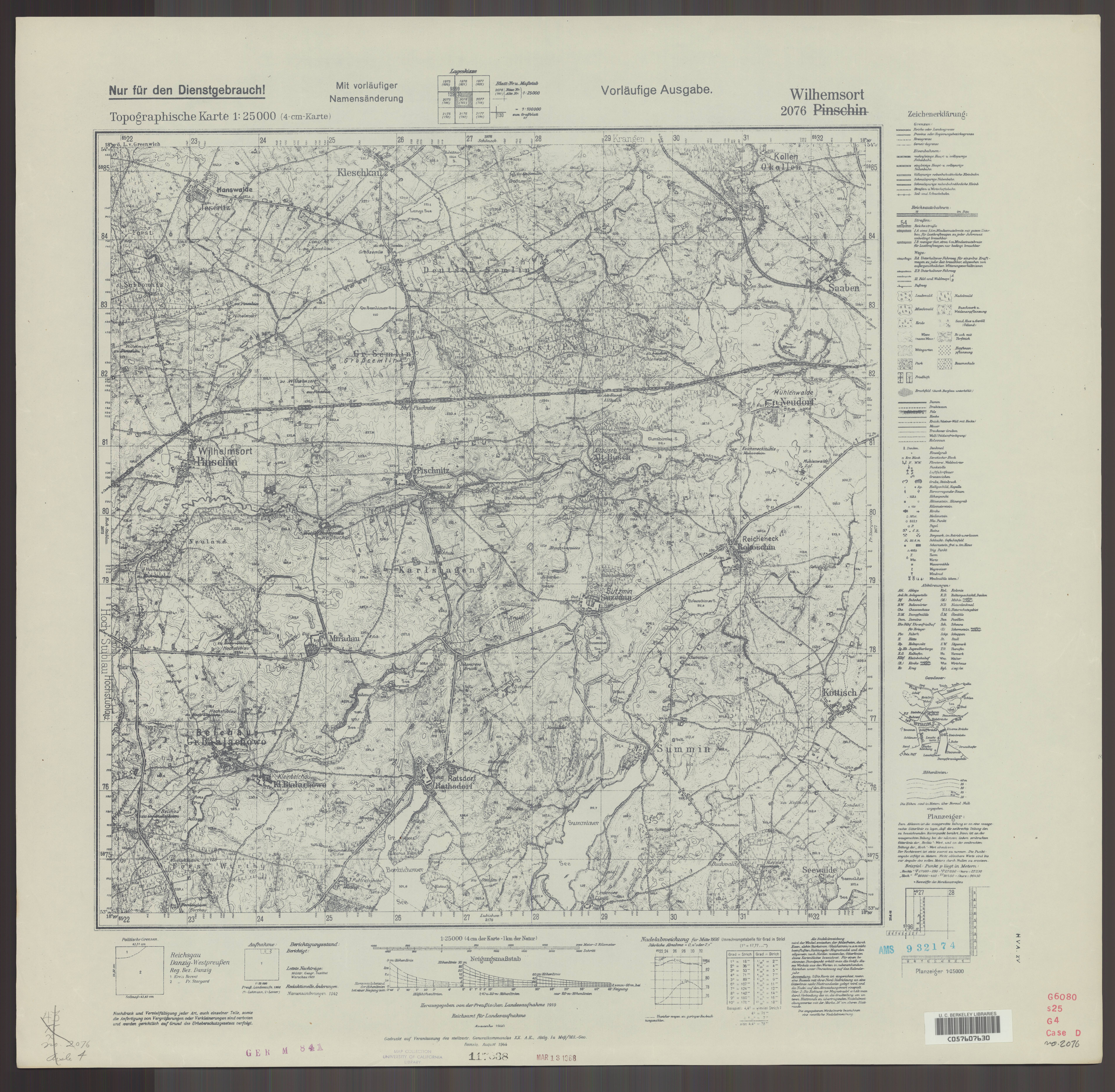
| map file | 2076_Wilhemsort_VIII.1944_uniberk_C057607630.jpg |
|---|---|
| file size | 7091763 (6.8 MB) |
| sheet number | 2076 (707) |
| map sheet scale | 1:25,000 |
| sheet title | Wilhemsort |
| publication year | 1944 |
| publisher | Oberkommando des Heeres / stellvertr. Generalkommando XX. A.K., Abtlg. Ia Meß/Mil.-Geo. Danzig |
| scan resolution | 300 dpi |
| scan colors | rgb |
| file added | 2020-10-13 |
| entry edited | 2020-10-13 14:15:31 |
| from the collection of | The University of California Berkeley Library |
| call no | dl id: C057607630 |
