


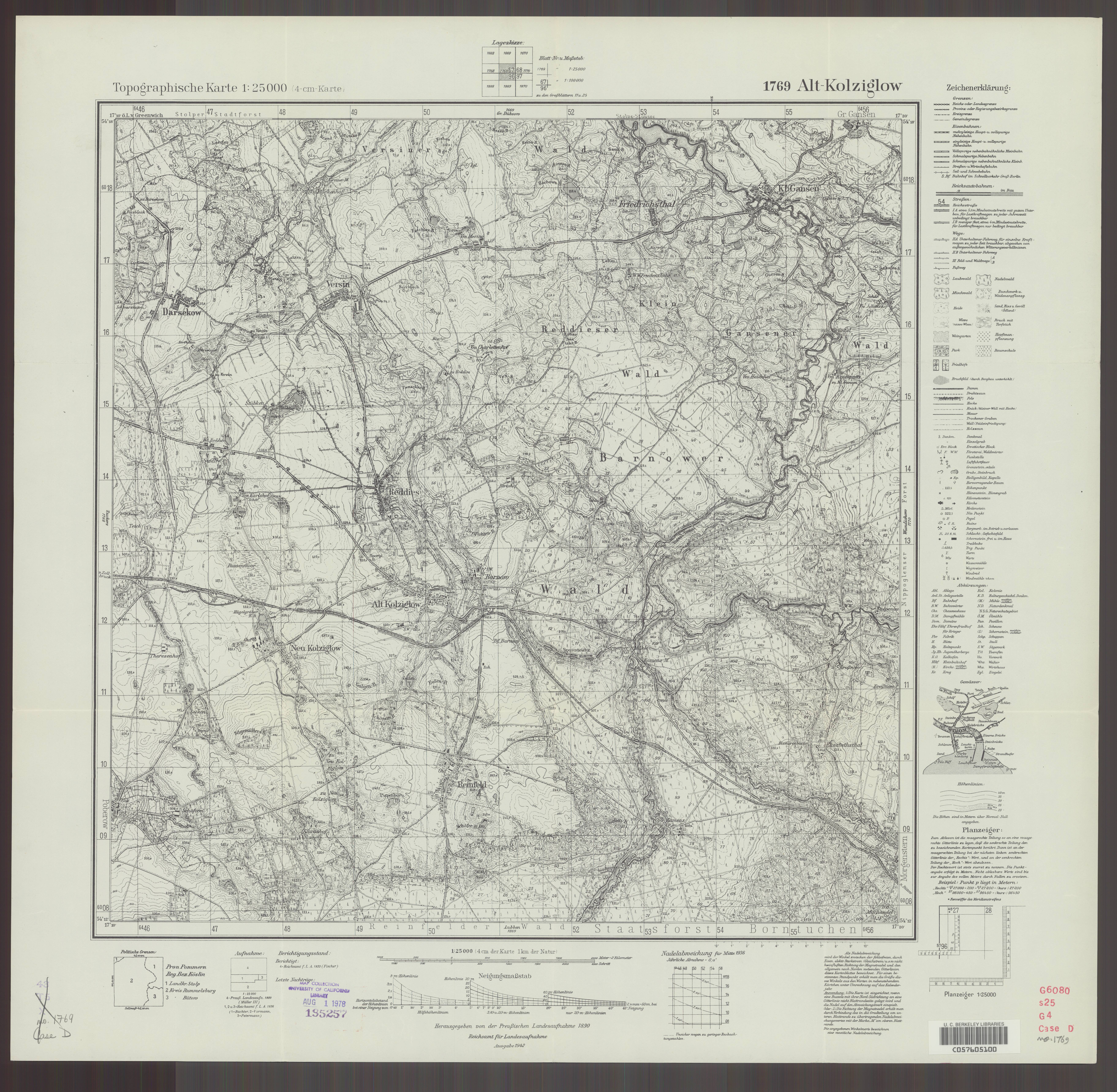
| map file | 1769_Alt-Kolziglow_1942_uniberk_C057605100.jpg |
|---|---|
| file size | 7408350 (7.1 MB) |
| sheet number | 1769 (454) |
| map sheet scale | 1:25,000 |
| sheet title | Alt-Kolziglow |
| publication year | 1942 |
| publisher | Reichsamt für Landesaufnahme |
| scan resolution | 300 dpi |
| scan colors | rgb |
| file added | 2020-10-13 |
| entry edited | 2020-10-13 20:27:36 |
| from the collection of | The University of California Berkeley Library |
| call no | dl id: C057605100 |
