


| Kartedatei | 10.109_E.BOUNDARY_POLAND_86_LWOW_nara_1946_305945_10109_01.jpg |
|---|---|
| Dateigröße | 7854719 (7.5 MB) |
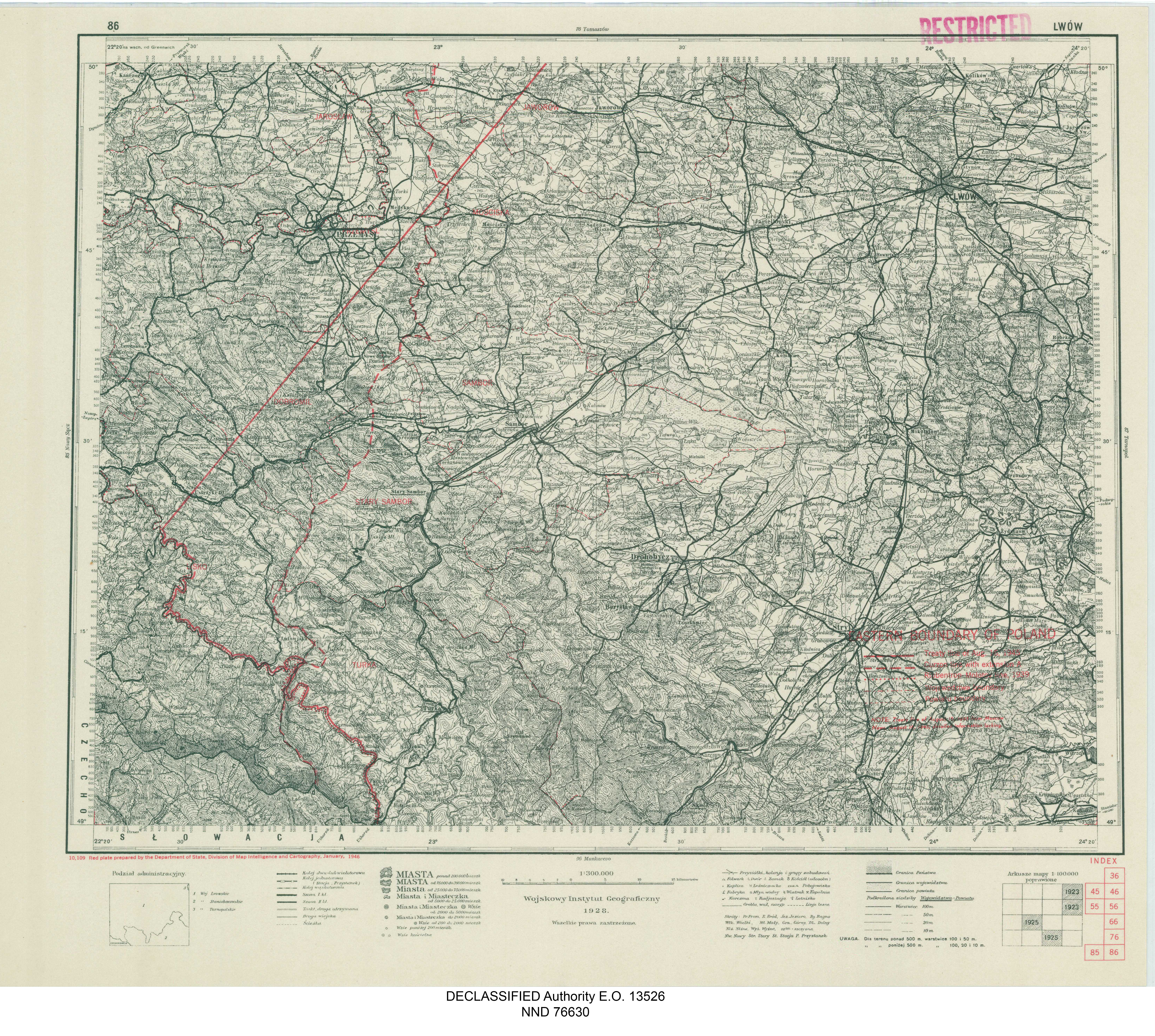
| Blattnummer | 86 |
| Blattmaßstab | 1:300 000 |
| Blatttitel | EASTERN BOUNDARY OF POLAND - 86 LWÓW |
| Notiz | Treaty line of August 16, 1945; detailed information lacking |
| Veröffentlichungsjahr | 1946 |
| Hersteller | Department of State, Division of Map Intelligence and Cartography |
| Karte/Scanzustand | gut |
| Scanauflösung | 300 dpi |
| Scanfarben | rgb |
| Datei hinzugefügt | 2020-12-14 |
| Eintrag editiert | 2020-12-14 12:56:03 |
| aus der Sammlung von | National Archives and Records Administration (NARA) |
