


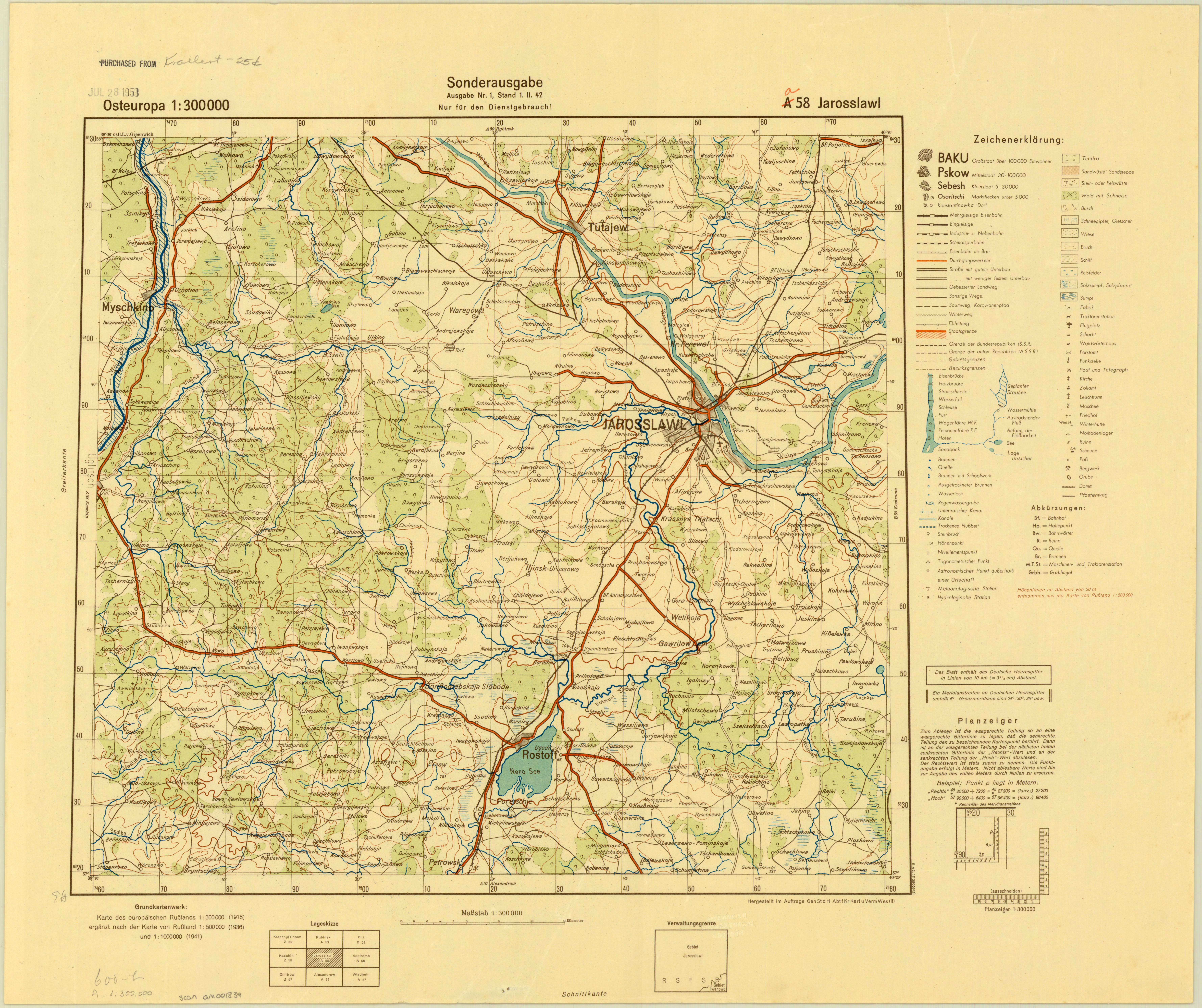
| map file | a58_Jarosslawl_II.1942_agdm_23104.jpg |
|---|---|
| file size | 6114076 (5.8 MB) |
| sheet number | a 58 |
| map sheet scale | 1:3 |
| sheet title | Jarosslawl (2) |
| publication year | 1942 |
| publisher | Oberkommando des Heeres / Generalstab |
| printer | D 93 : |
| map/scan condition | good |
| scan resolution | 300 dpi |
| scan colors | rgb |
| file added | 2020-12-14 |
| entry edited | 2020-12-14 20:34:37 |
| from the collection of | American Geographical Society Library, University of Wisconsin-Milwaukee Libraries |
