


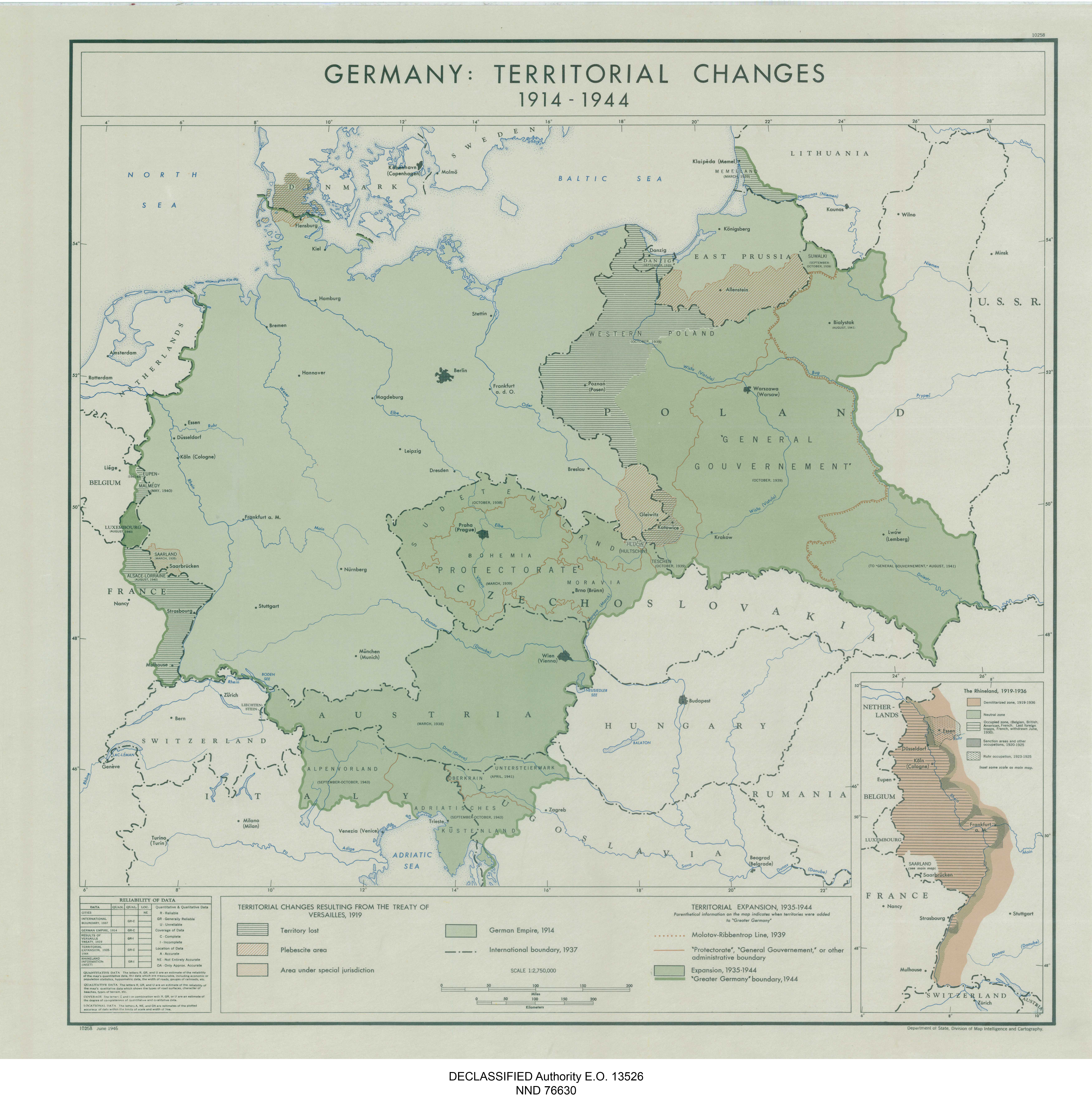
| Kartedatei | 10258_GERMANY_TERRITORIAL_CHANGES_1914-1944_DoS_1946_nara_305945_10258_01.jpg |
|---|---|
| Dateigröße | 5169327 (4.9 MB) |
| Blattnummer | empty |
| Blattmaßstab | 1:2 750 000 |
| Blatttitel | 10258 GERMANY: TERRITORIAL CHANGES 1914-1944 |
| gegenwärtige Name | NIEMCY: ZMIANY TERYTORIALNE W LATACH 1914 - 1944 |
| Veröffentlichungsjahr | 1946 |
| Hersteller | Department of State, Division of Map Intelligence and Cartography |
| Karte/Scanzustand | gut |
| Scanauflösung | 300 dpi |
| Scanfarben | rgb |
| Datei hinzugefügt | 2020-12-26 |
| Eintrag editiert | 2020-12-26 18:25:57 |
| aus der Sammlung von | National Archives and Records Administration (NARA) |
