


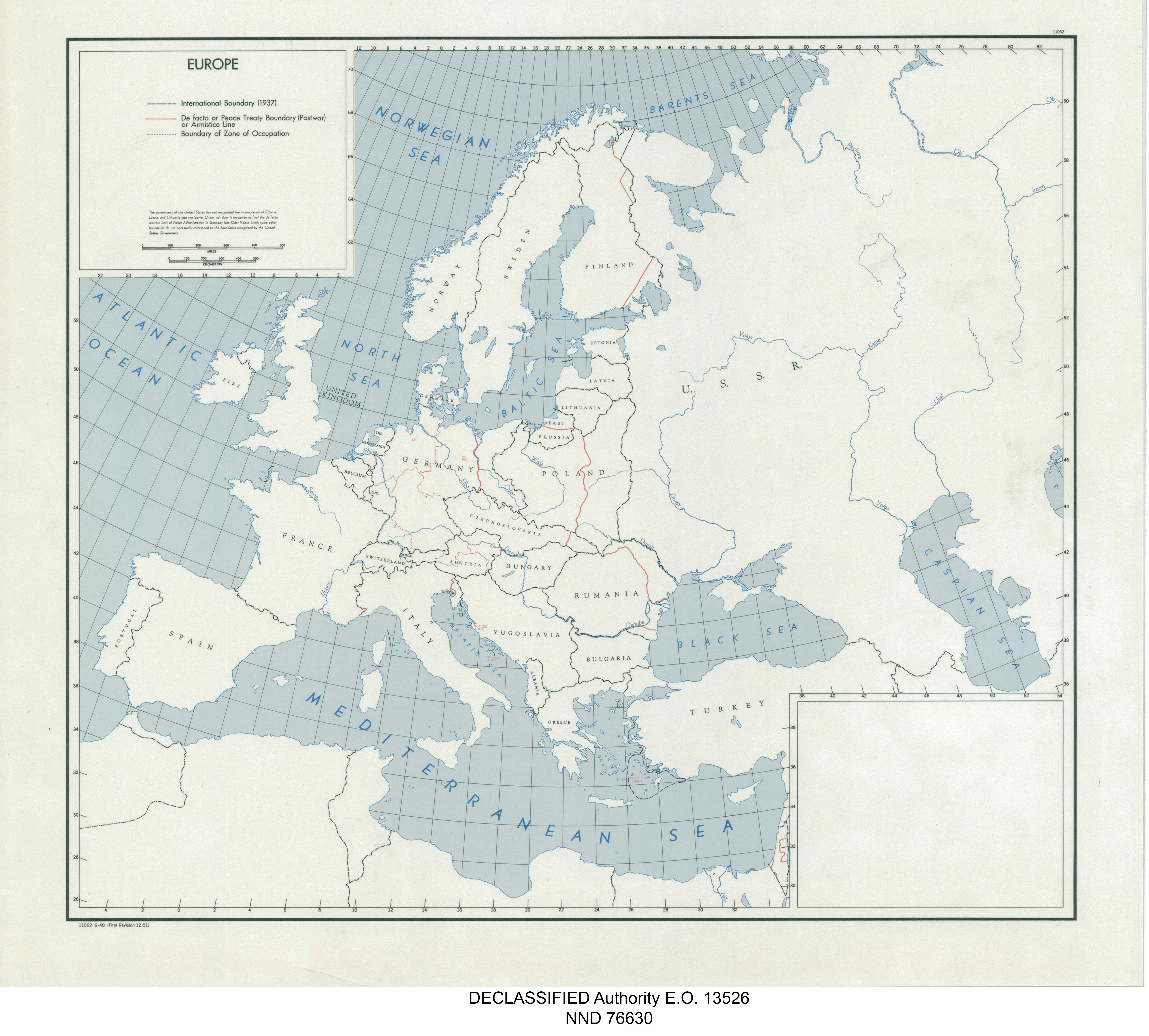
| map file | 11062_EUROPE_BOUNDARIES_CIA_1948_nara_305945_11062-2_01.jpg |
|---|---|
| file size | 2653299 (2.5 MB) |
| sheet number | empty |
| sheet title | 11062 EUROPE BOUNDARIES |
| modern name | EUROPA - GRANICE (1937, POWOJENNE, GRANICE STREF OKUPACYJNYCH) |
| publication year | 1948 |
| publisher | Central Intelligence Agency |
| map/scan condition | good |
| scan resolution | 300 dpi |
| scan colors | rgb |
| file added | 2020-12-26 |
| entry edited | 2020-12-26 20:25:10 |
| from the collection of | National Archives and Records Administration (NARA) |
