


| map file | 3541_Brandenburg_an_der_Havel_1943_uniberk_C056971166.jpg |
|---|---|
| file size | 6263807 (6.0 MB) |
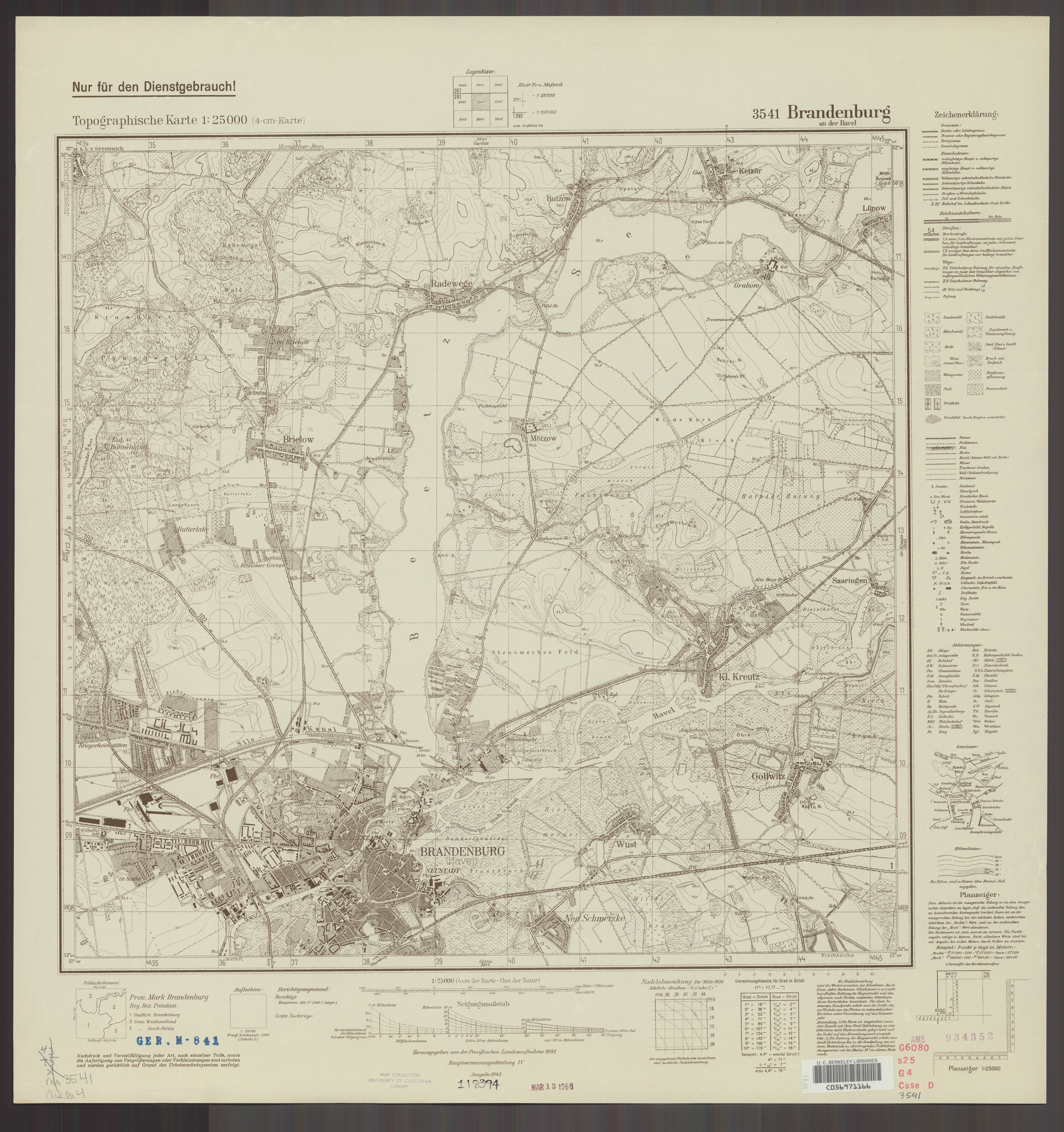
| sheet number | 3541 (1903) |
| map sheet scale | 1:25,000 |
| sheet title | Brandenburg an der Havel |
| publication year | 1943 |
| publisher | Reichsamt für Landesaufnahme |
| scan resolution | 300 dpi |
| scan colors | rgb |
| file added | 2021-04-10 |
| entry edited | 2021-04-11 10:48:16 |
| from the collection of | The University of California Berkeley Library |
| call no | dl id: C056971166 |
