


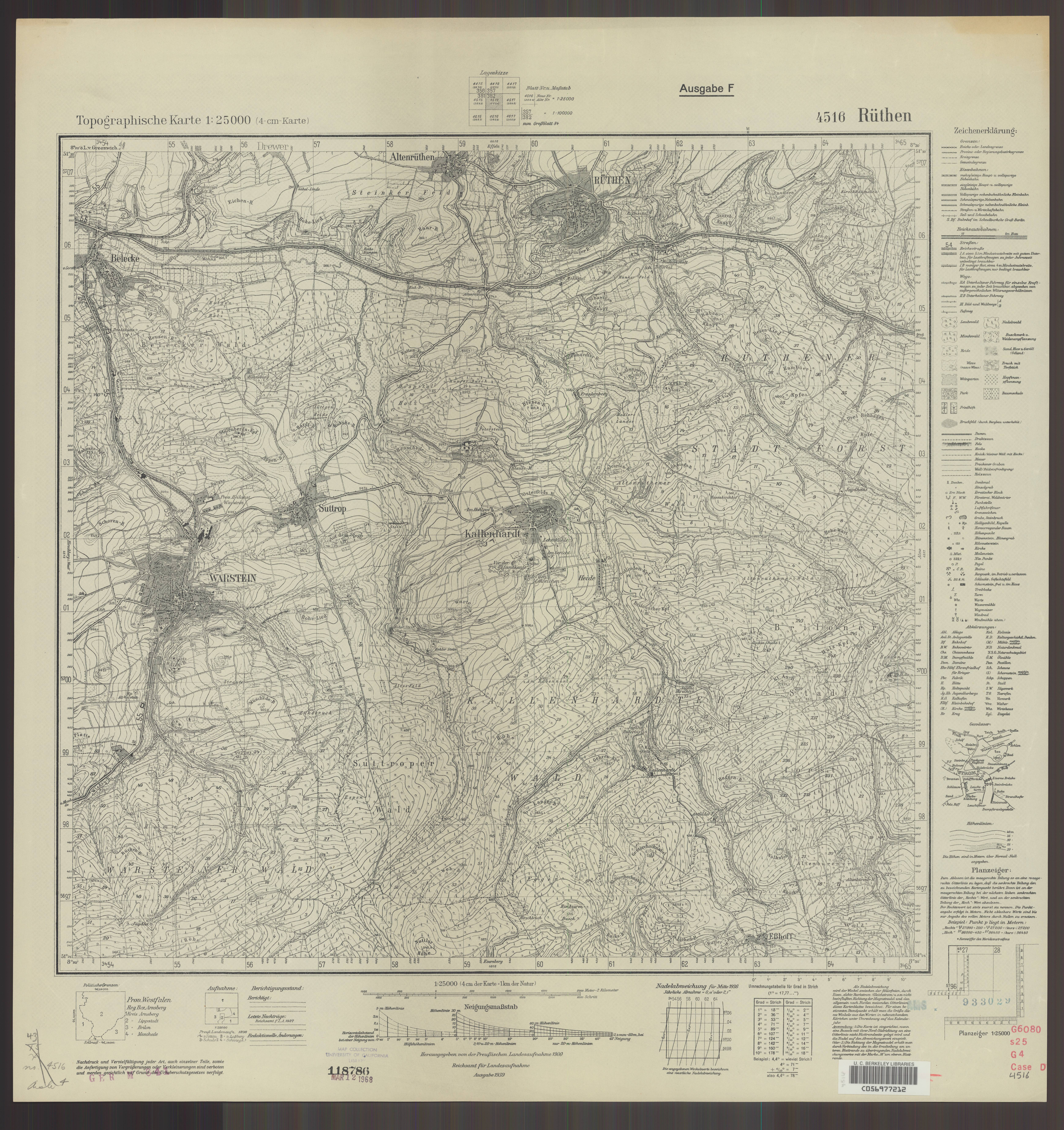
| map file | 4516_Ruethen_Ausg._F_1939_uniberk_C056977212.jpg |
|---|---|
| file size | 7643323 (7.3 MB) |
| sheet number | 4516 (2584) |
| map sheet scale | 1:25,000 |
| sheet title | Rüthen [Ausg. F] |
| publication year | 1939 |
| publisher | Reichsamt für Landesaufnahme |
| scan resolution | 300 dpi |
| scan colors | rgb |
| file added | 2021-04-10 |
| entry edited | 2021-04-11 10:49:13 |
| from the collection of | The University of California Berkeley Library |
| call no | dl id: C056977212 |
