


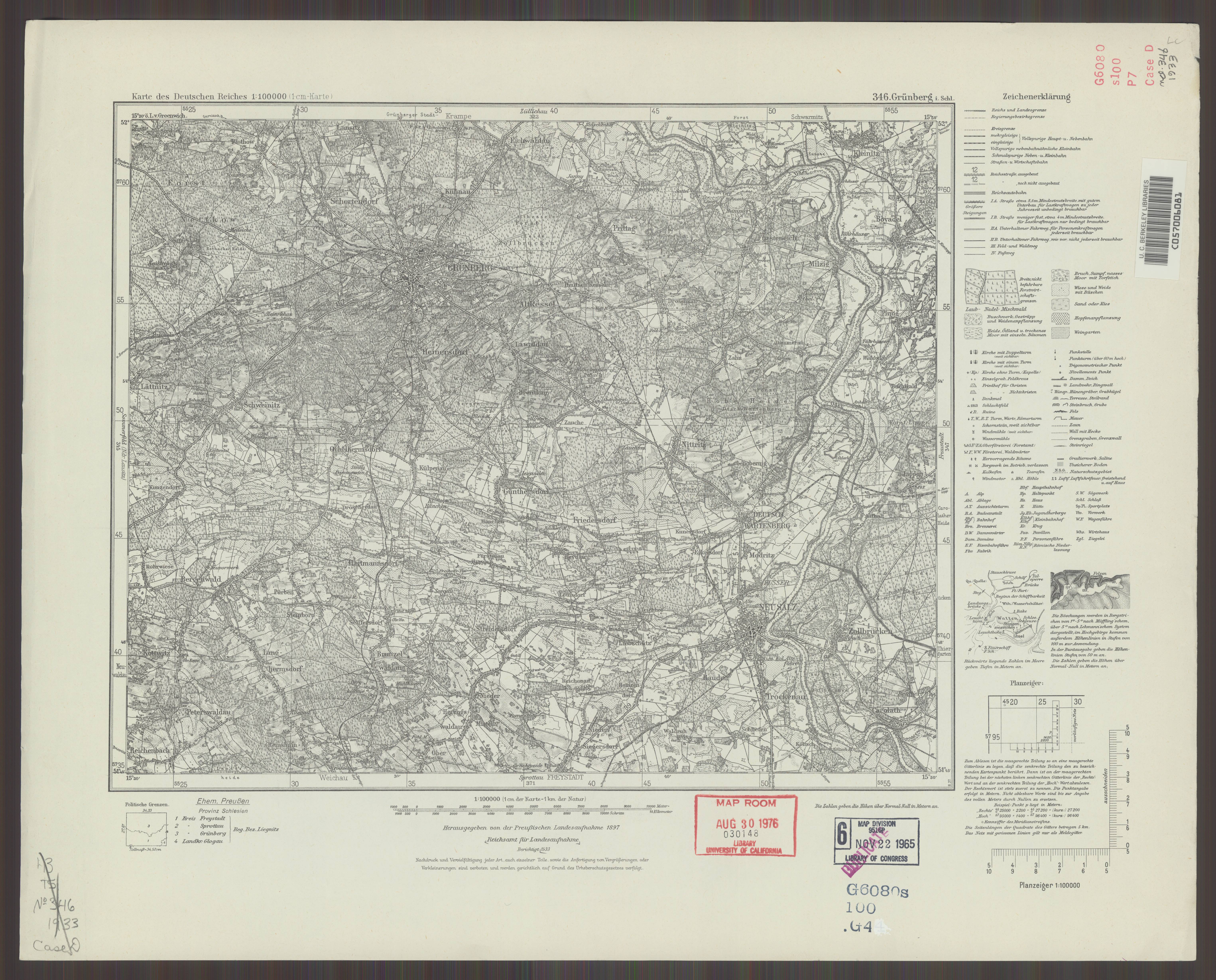
| map file | KDR100_346_Gruenberg_i._Schl._1937_uniberk_C057006081.jpg |
|---|---|
| file size | 4537407 (4.3 MB) |
| sheet number | 346 |
| map sheet scale | 1:100,000 |
| sheet title | Gruenberg i. Schl. |
| publication year | 1937 |
| publisher | Reichsamt für Landesaufnahme |
| scan resolution | 300 dpi |
| scan colors | rgb |
| file added | 2021-07-11 |
| entry edited | 2021-07-12 10:27:30 |
| from the collection of | The University of California Berkeley Library |
| call no | C057006081 |
