


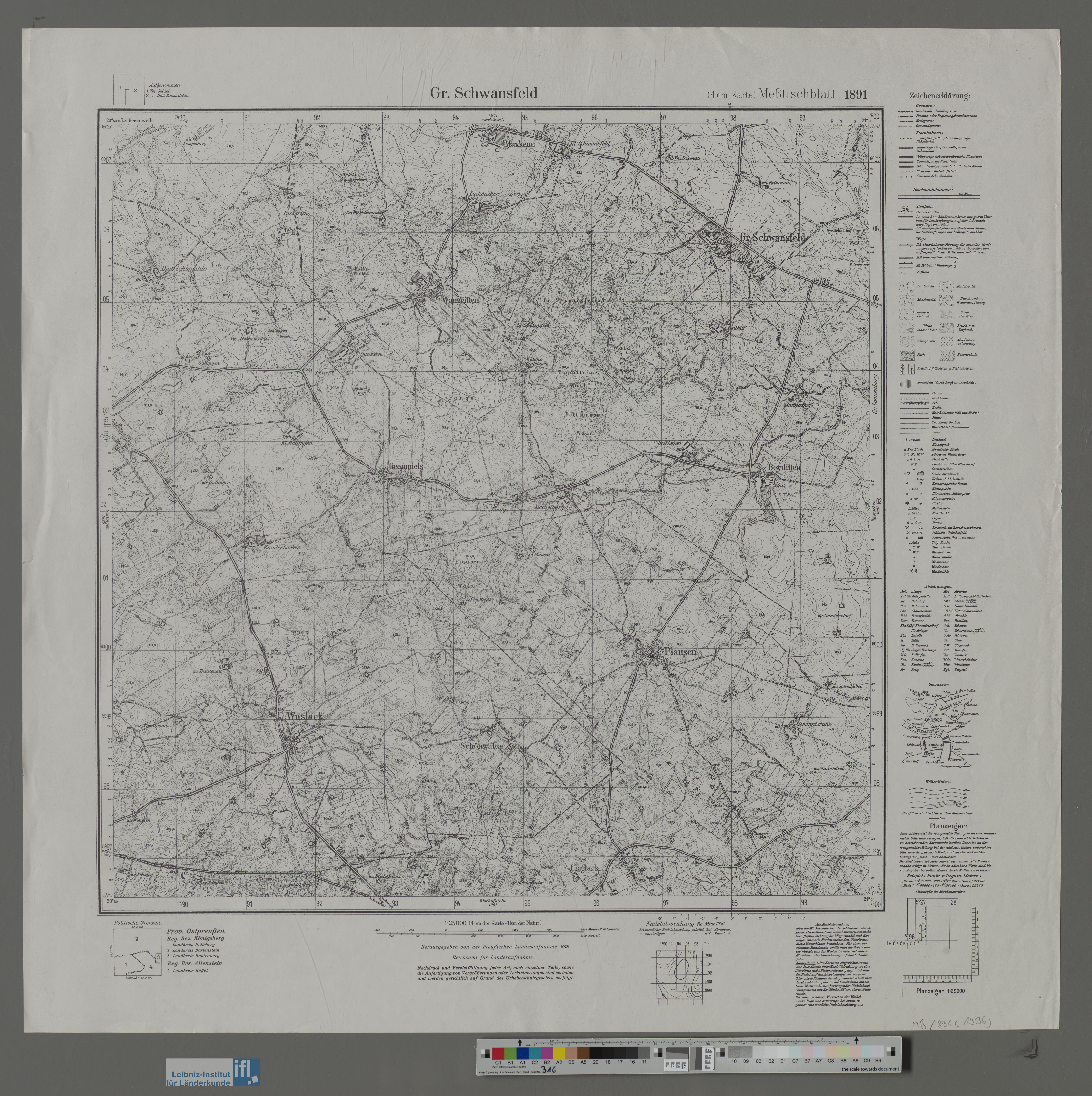
| map file | 1891_Gr._Schwansfeld_1936_IfL.jpg |
|---|---|
| file size | 5933133 (5.7 MB) |
| sheet number | 1891 (553) |
| map sheet scale | 1:25,000 |
| sheet title | Gr. Schwansfeld |
| publication year | 1936 |
| publisher | Reichsamt für Landesaufnahme |
| map/scan condition | bad |
| scan resolution | 100 dpi |
| scan colors | rgb |
| file added | 2022-08-06 |
| entry edited | 2022-08-07 14:45:00 |
| from the collection of | Leibniz-Institut für Länderkunde, IfL |
| source reference | https://leibniz-ifl.de/forschung/forschungsinfrastrukturen/digitale-sammlungen/topographische-karte-125000-des-deutschen-reichs |
