


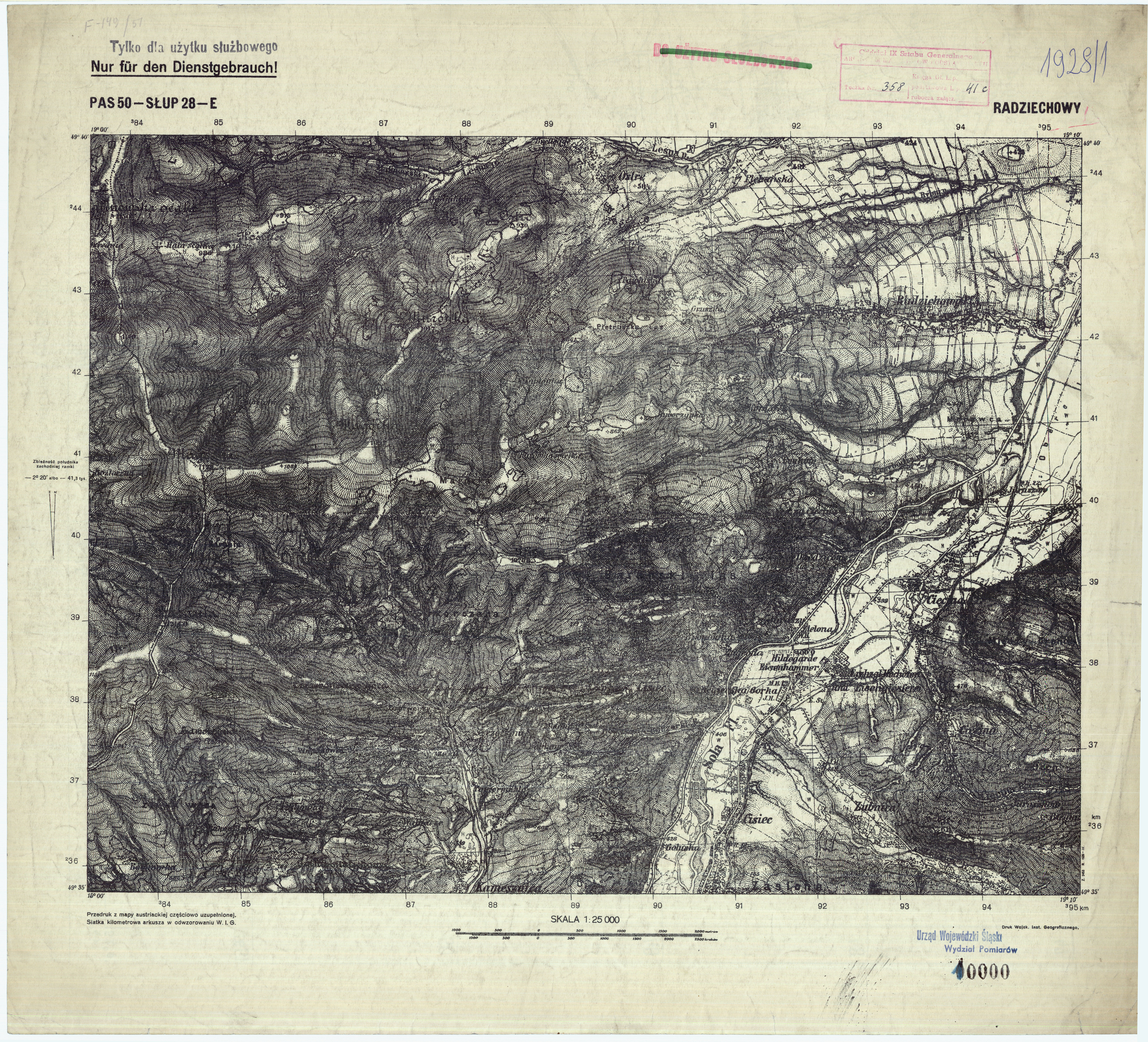
| map file | P50-S28-E_RADZIECHOWY.jpg |
|---|---|
| file size | 11185415 (10.7 MB) |
| sheet number | P50 S28 E (5028 E) |
| sheet title | RADZIECHOWY |
| modern name | Radziechowy |
| publication year | ±1940 |
| publisher | -inne- (-others-) |
| map type | WIG 1:25tys prowiz-austr |
| description | The WIG map 1:25,000. Provisional edition based on Austrian maps. |
| scan resolution | 400 dpi |
| file added | 2012-09-15 |
| entry edited | 2011-10-11 19:01:41 |
| from the collection of | Instytut Geografii Uniwersytetu Pedagogicznego w Krakowie |
