


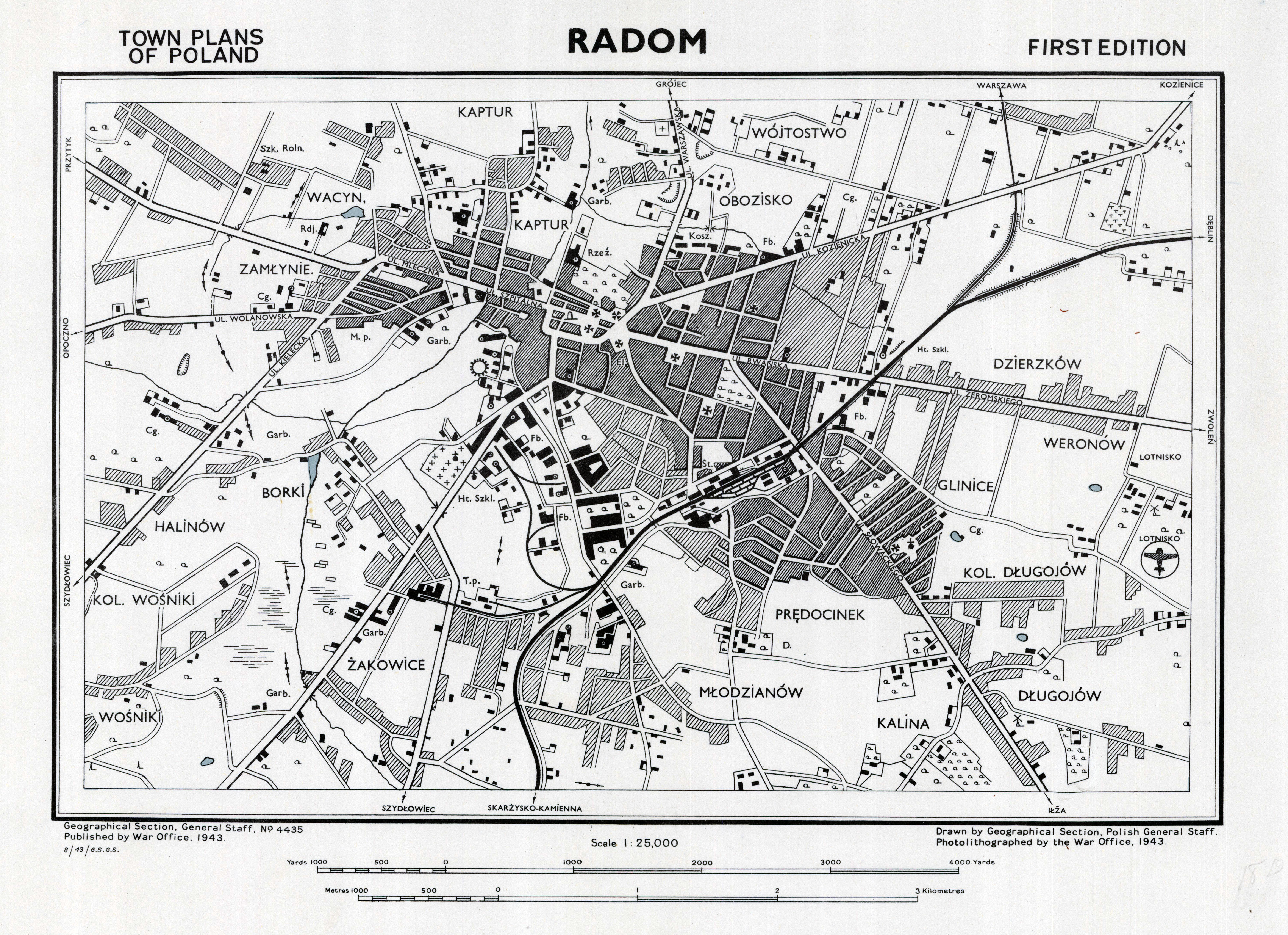
| map file | GSGS_4435_TOWN_PLANS_OF_POLAND_RADOM_25K_1943.jpg |
|---|---|
| file size | 5056798 (4.8 MB) |
| sheet number | Radom (WIG: GSGS 4435) |
| map sheet scale | 1:25,000 |
| sheet title | RADOM |
| publication year | 1943 |
| publisher | Geographical Section, General Staff (Wielka Brytania) (opracowanie: Wojskowy Instytut Geograficzny) (Geographical Section, General Staff (Great Britain) (elaborated by: Wojskowy Instytut Geograficzny)) |
| map/scan condition | good |
| scan resolution | 300 dpi |
| scan colors | rgb |
| entry edited | 2012-06-17 11:21:02 |
| from the collection of | Archiwum Map WIG |
