


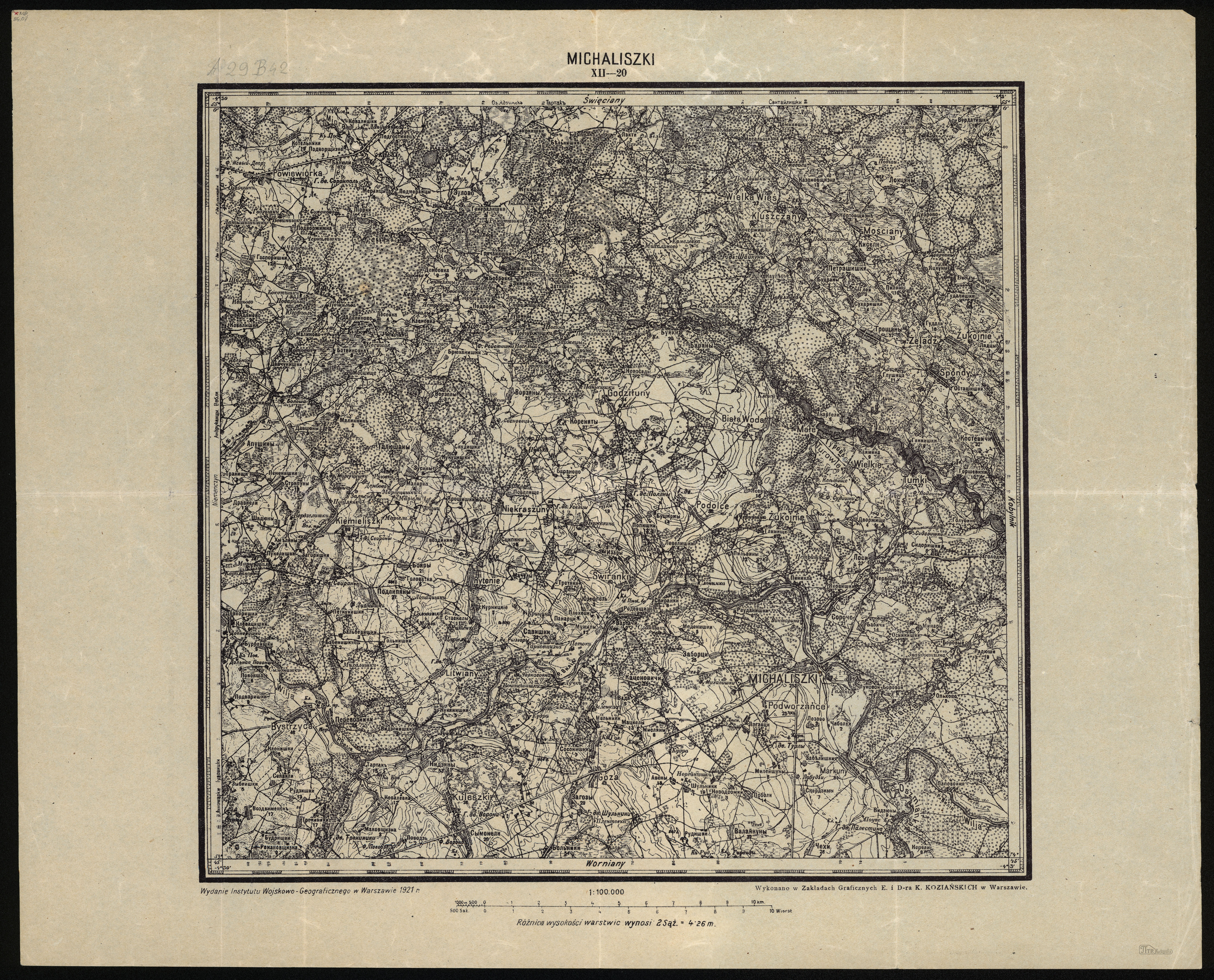
| Kartedatei | XII-20_MICHALISZKI_IWG_1921_300dpi.jpg |
|---|---|
| Dateigröße | 6697158 (6.4 MB) |
| Blattnummer | XII 20 (A29±B42) |
| Blatttitel | MICHALISZKI |
| Veröffentlichungsjahr | 1921 |
| Hersteller | Wojskowy Instytut Geograficzny |
| Karte/Scanzustand | gut |
| Scanauflösung | 300 dpi |
| Scanfarben | rgb |
| Datei hinzugefügt | 2012-11-23 |
| Eintrag editiert | 2012-11-23 22:55:40 |
| aus der Sammlung von | Piotr Kamiński |
