


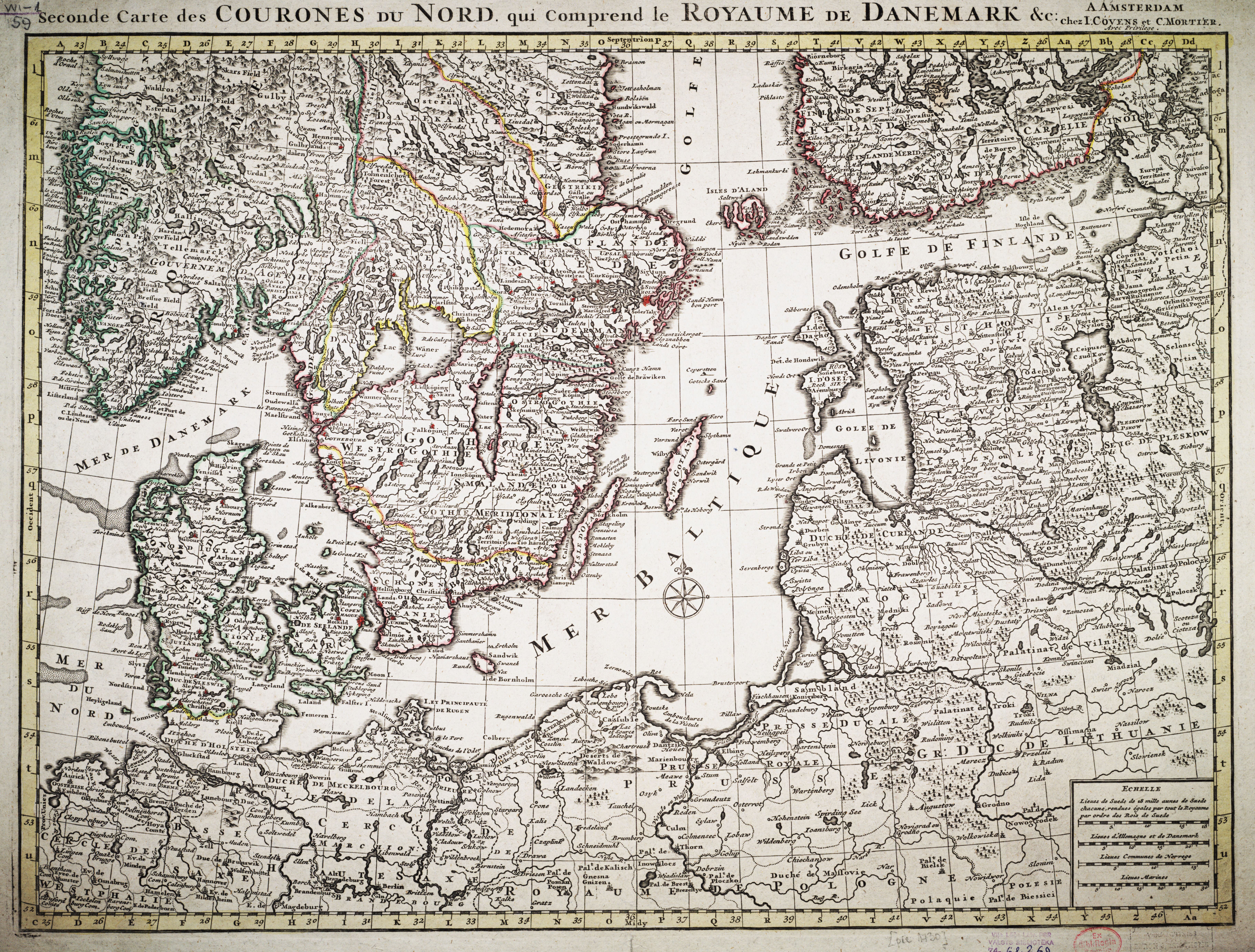
| map file | NLL310_Seconde_Carte_des_Courones_du_Nord._qui_Comprend_le_Royaume_de_Danemark_ca1742-k_001_ktw1-1-59.jpg |
|---|---|
| file size | 8434478 (8.0 MB) |
| sheet number | BALT |
| sheet title | Seconde Carte des Courones du Nord. qui Comprend le Royaume de Danemark |
| publication year | ±1742 |
| scan resolution | 300 dpi |
| file added | 2013-01-28 |
| entry edited | 2013-01-28 20:26:27 |
| from the collection of | Latvijas Nacionālā bibliotēka The National Library of Latvia |
| source reference | http://academia.lndb.lv/xmlui/handle/1/310 |
