


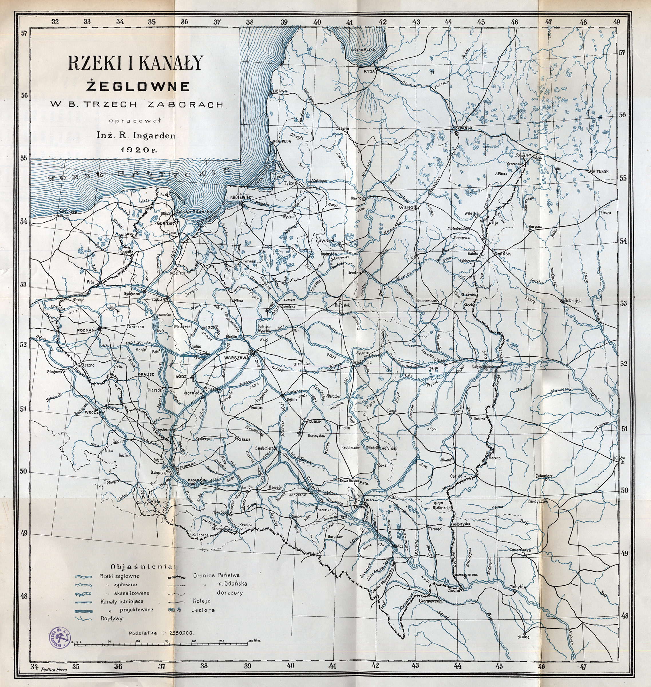
| map file | RZEKI_I_KANALY_ZEGLOWNE_W_B._TRZECH_ZABORACH_2.5M_1920.jpg |
|---|---|
| file size | 2292673 (2.2 MB) |
| sheet number | POLROADS |
| map sheet scale | 1:2,500,000 |
| sheet title | Rzeki i kanały żeglowne w b. trzech zaborach |
| modern name | Navigable rivers and channels in the former three partitions [of Poland] |
| publication year | 1920 |
| scan resolution | 300 dpi |
| remarks | opracował inż. R. Ingarden prepared by dipl. eng. R. Ingarden |
| file added | 2013-04-28 |
| entry edited | 2013-04-28 12:04:23 |
| from the collection of | Archiwum Map WIG |
