


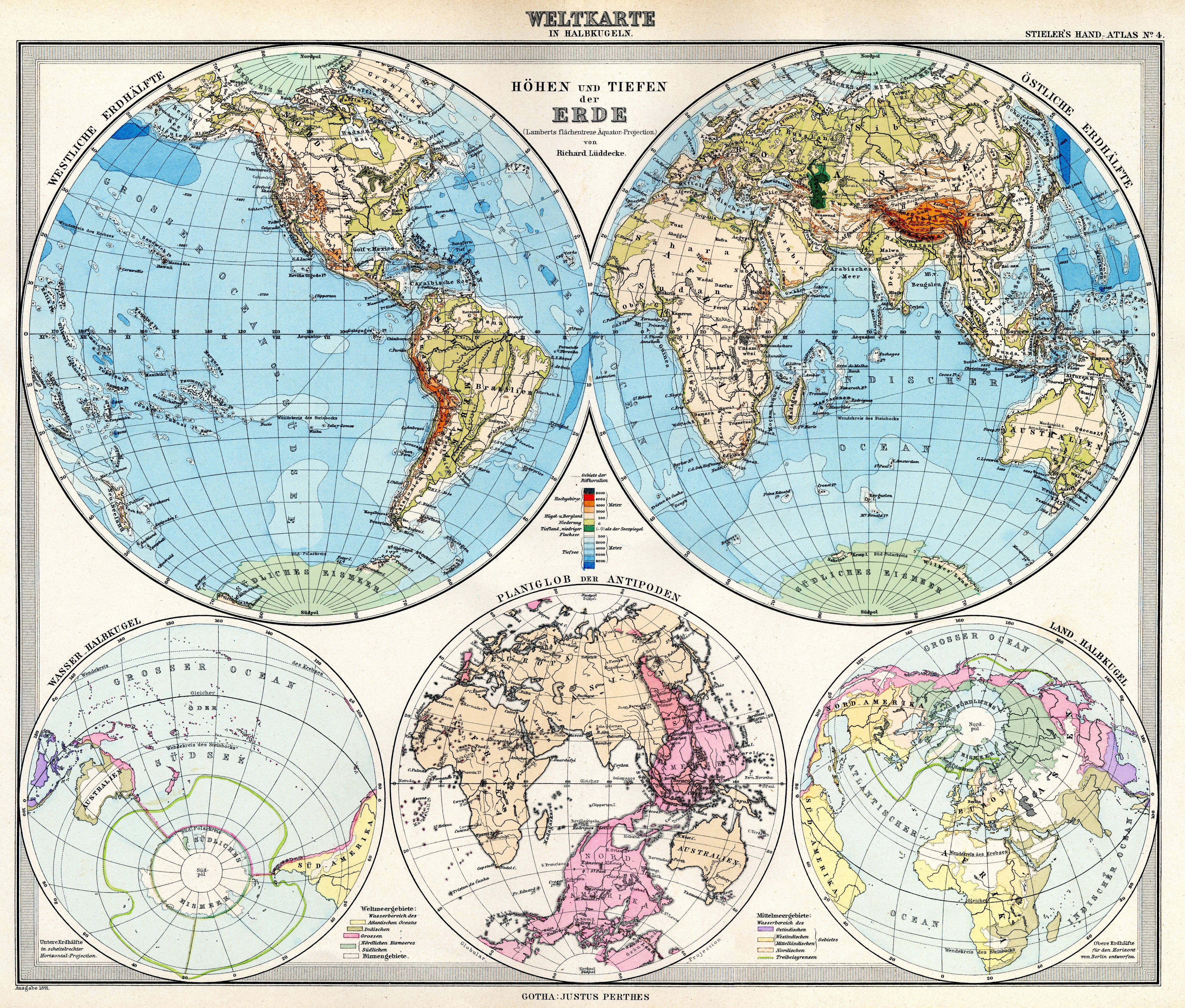
| map file | Stielers_Handatlas_1891_04.jpg |
|---|---|
| file size | 5533007 (5.3 MB) |
| sheet number | 04 |
| sheet title | Weltkarte im Halbkugeln |
| modern name | Mapa świata w półkulach |
| publication year | 1891 |
| scan resolution | 300 dpi |
| remarks | Dodatkowe małe mapy na tym arkuszu: Höhen und Tiefen der Erde (Lamberts flächentreue Äquator-Projektion) von Richard Lüddecke; Wasser.Halbkugel; Planiglob der Antipoden; Land.Halbkugel |
| file added | 2013-05-04 |
| entry edited | 2013-05-05 12:19:30 |
| from the collection of | Wikimedia Commons |
