


| map file | Stielers_Handatlas_1891_29.jpg |
|---|---|
| file size | 8646451 (8.2 MB) |
| sheet number | 29 |
| map sheet scale | 1:1,500,000 |
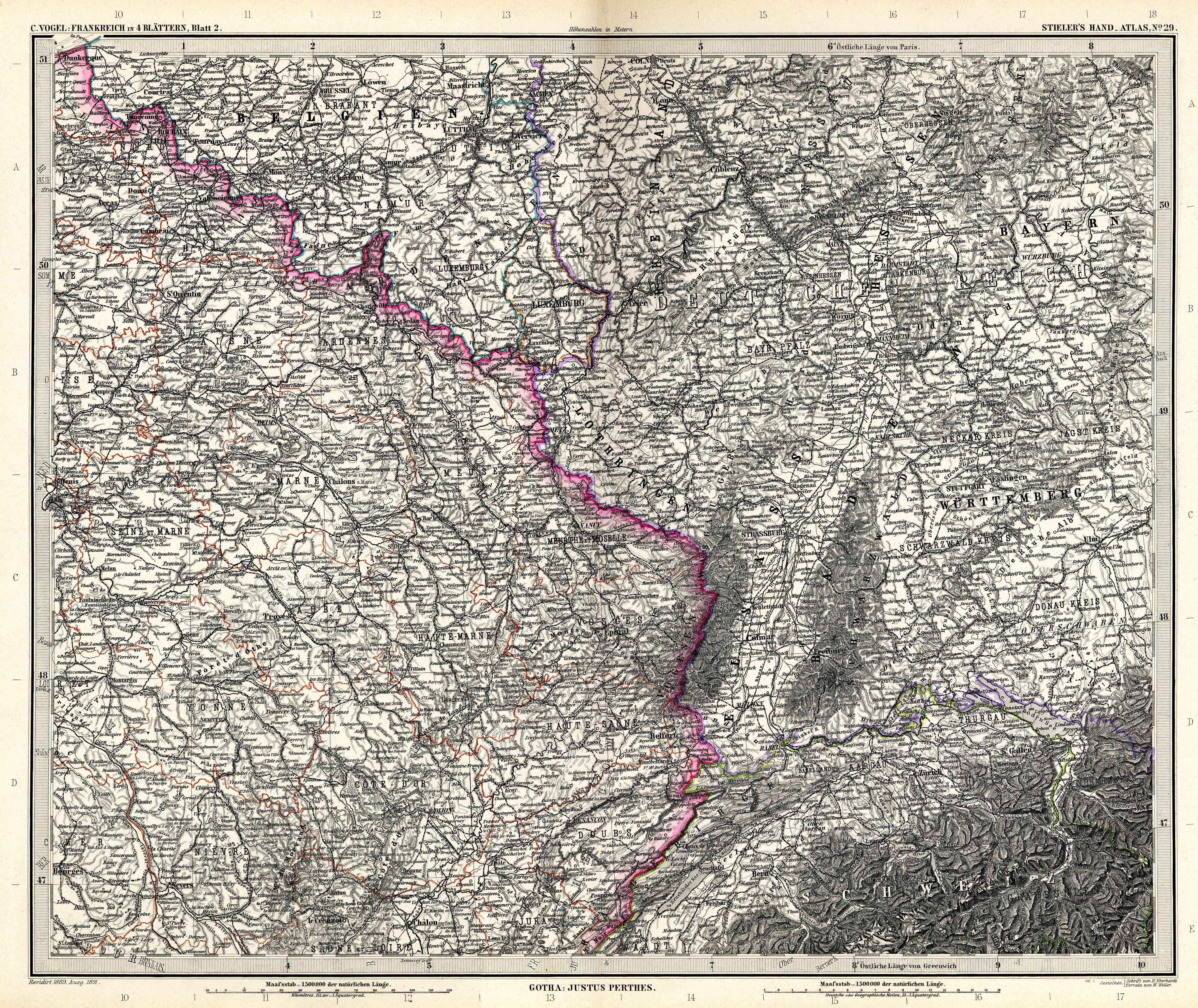
| sheet title | Frankreich in 4 Blättern von C.Vogel, Blatt 2 |
| modern name | Francja w 4 arkuszach aut. C. Vogel, arkusz 2 |
| annotation | NE |
| publication year | 1891 |
| scan resolution | 300 dpi |
| file added | 2013-05-04 |
| entry edited | 2013-05-05 12:19:31 |
| from the collection of | Wikimedia Commons |
