


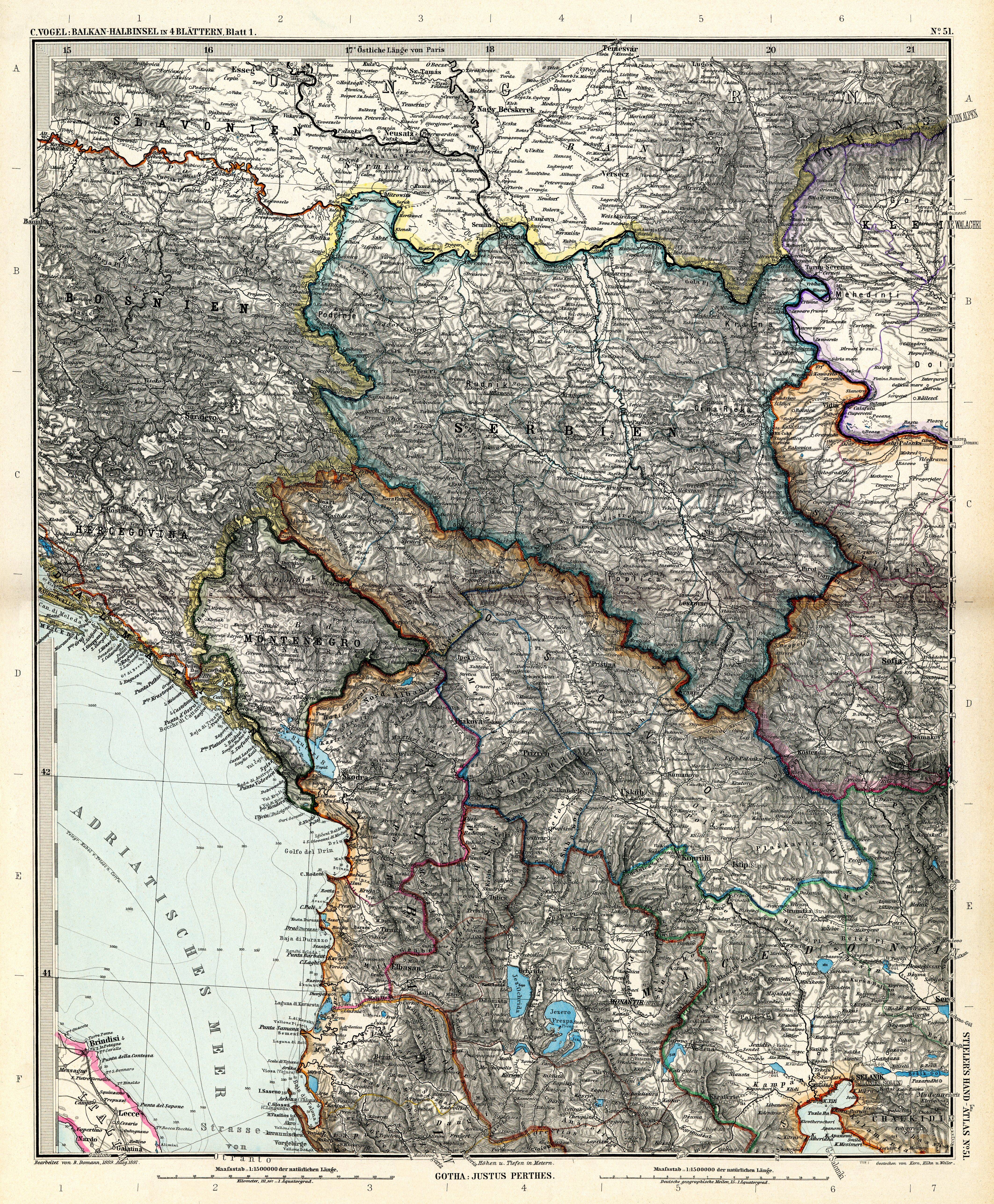
| map file | Stielers_Handatlas_1891_51.jpg |
|---|---|
| file size | 8410694 (8.0 MB) |
| sheet number | 51 |
| map sheet scale | 1:1,500,000 |
| sheet title | Die Balkan. Halbinsel in 4 Blättern. Türkei, Rumänien, Griechenland, Serbien, Montenegro, Bulgarien von C. Vogel, Blatt 1 |
| modern name | Pówysep bałkański w 4 arkuszach. Turcja, Rumunia, Grecja, Serbia, Czarnogóra, Bułgaria, aut. C. Vogel, arkusz 1 |
| annotation | Serbia |
| publication year | 1891 |
| scan resolution | 300 dpi |
| file added | 2013-05-04 |
| entry edited | 2013-05-05 12:19:31 |
| from the collection of | Wikimedia Commons |
