


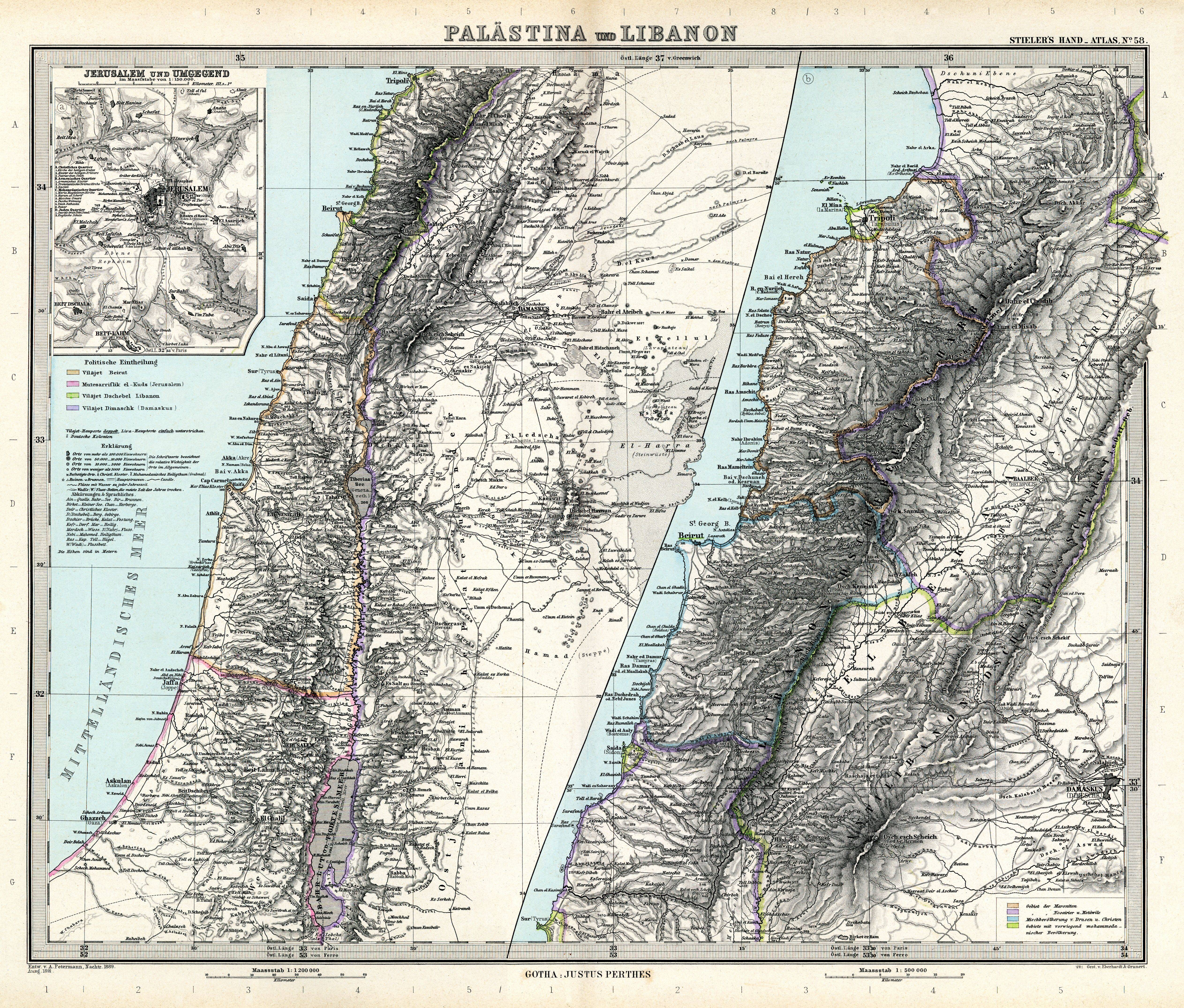
| map file | Stielers_Handatlas_1891_58.jpg |
|---|---|
| file size | 7205110 (6.9 MB) |
| sheet number | 58 |
| map sheet scale | 1:1,200,000 |
| sheet title | Palästina und Libanon |
| modern name | Palestyna i Liban |
| publication year | 1891 |
| scan resolution | 300 dpi |
| remarks | Dodatkowe małe mapy na tym arkuszu: Libanon 1:500000; Jerusalem und Umgegend 1:150000 |
| file added | 2013-05-04 |
| entry edited | 2013-05-05 12:19:32 |
| from the collection of | Wikimedia Commons |
