


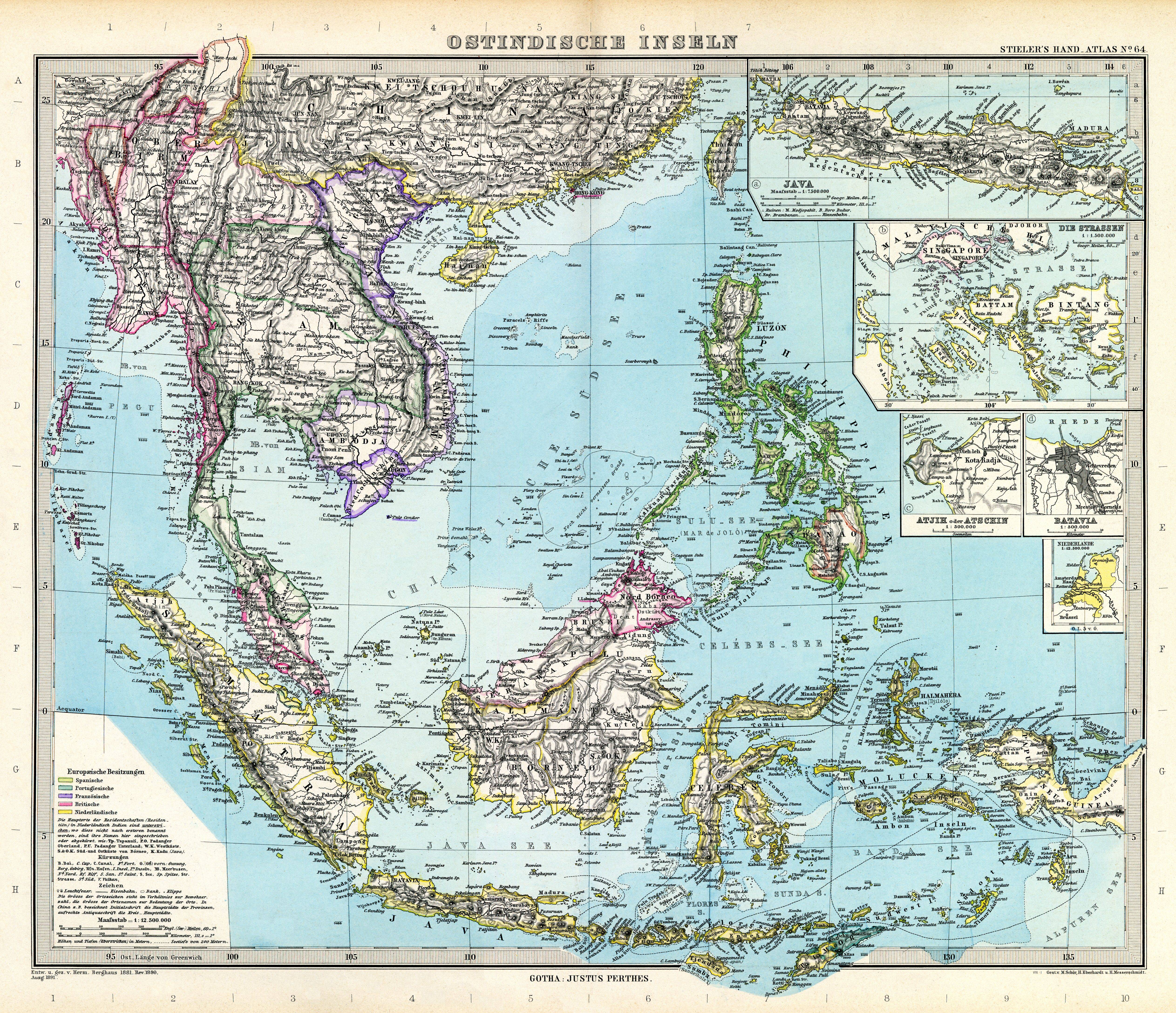
| map file | Stielers_Handatlas_1891_64.jpg |
|---|---|
| file size | 6160301 (5.9 MB) |
| sheet number | 64 |
| map sheet scale | 1:12,500,000 |
| sheet title | Ostindische Inseln |
| modern name | Wyspy Indii Wschodnich |
| publication year | 1891 |
| scan resolution | 300 dpi |
| remarks | Dodatkowe małe mapy na tym arkuszu: Java 1:7500000; Die Strassen 1:1 500000; Atjih oder Achin 1:500000; Batavia 1:500000 |
| file added | 2013-05-04 |
| entry edited | 2013-05-05 12:19:32 |
| from the collection of | Wikimedia Commons |
