


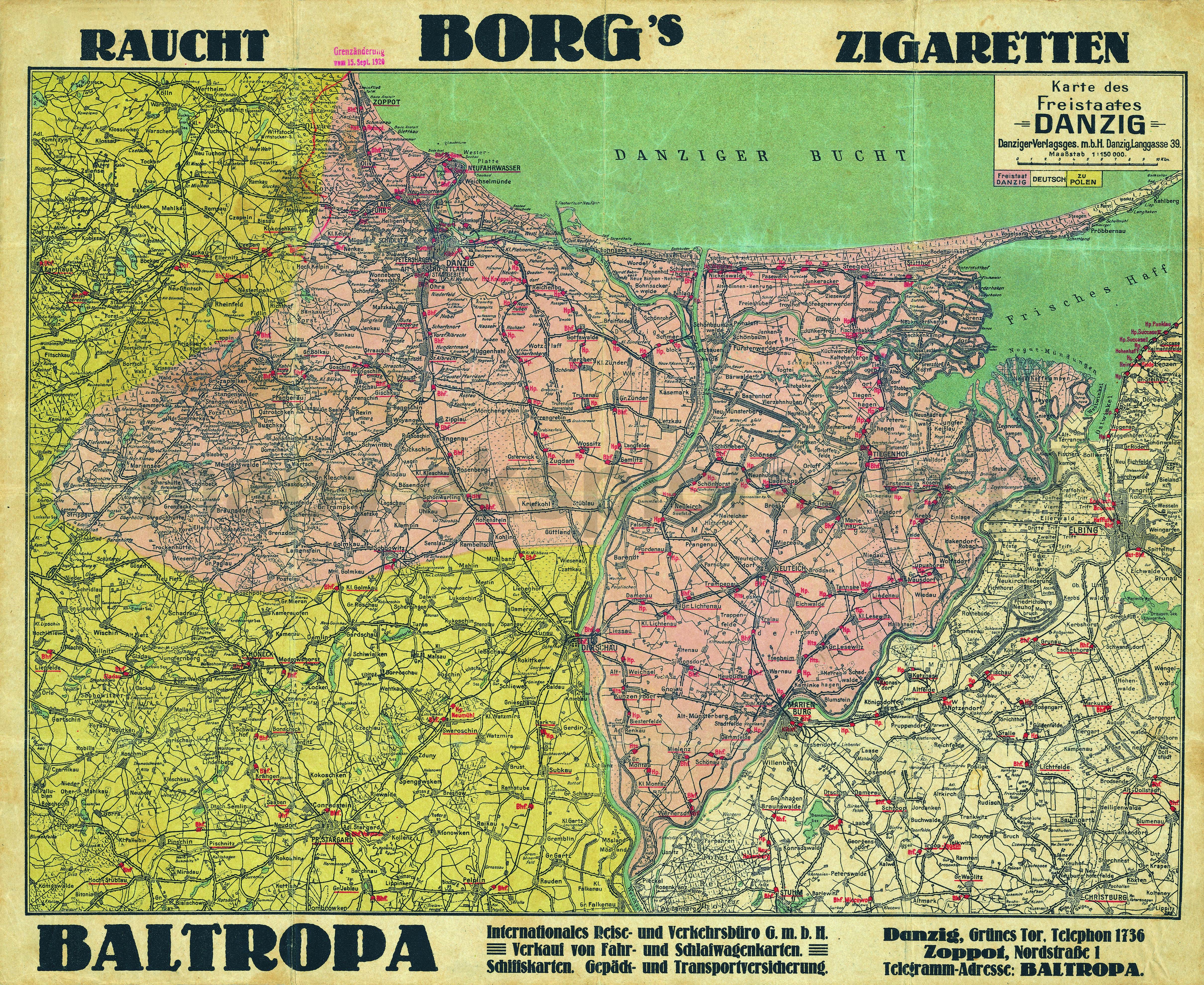
| Kartedatei | Karte_des_Freistates_Danzig_150K_baltropa_AMPG.jpg |
|---|---|
| Dateigröße | 6719611 (6.4 MB) |
| Blattnummer | POMORZE |
| Blattmaßstab | 1:150 000 |
| Blatttitel | Karte des Freistates of Danzig |
| gegenwärtige Name | Mapa Wolnego Miasta Gdańska |
| alternative Name | Map of the Free City of Danzig |
| Veröffentlichungsjahr | ±1925 |
| Karte/Scanzustand | durchschnittlich |
| Scanauflösung | 300 dpi |
| Scanfarben | rgb |
| Datei hinzugefügt | 2013-05-14 |
| Eintrag editiert | 2013-05-14 18:50:47 |
| aus der Sammlung von | Archiwum Map Pomorza Gdańskiego |
