


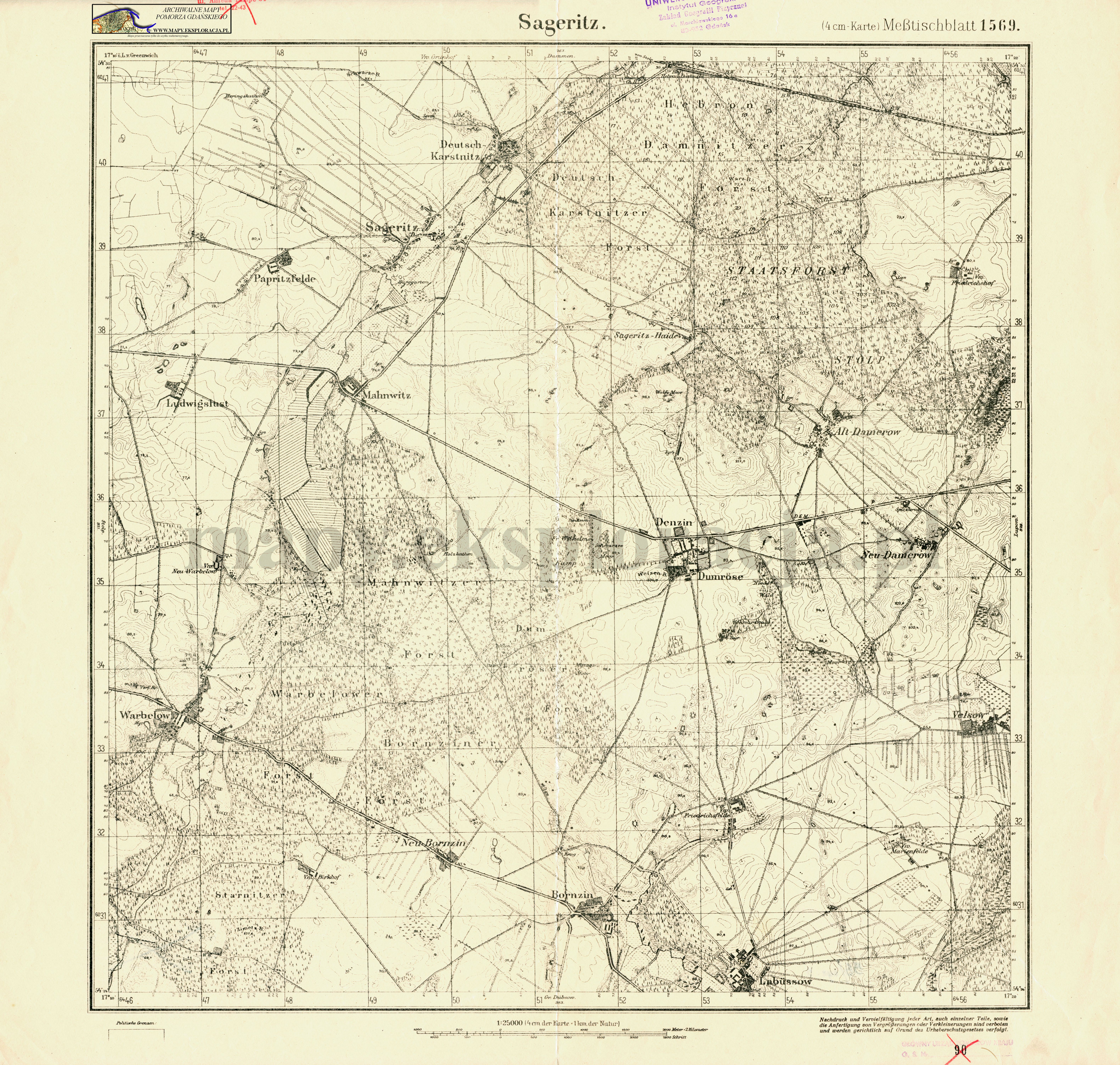
| map file | 1569_Sageritz_1940_300dpi_AMPG.jpg |
|---|---|
| file size | 7773045 (7.4 MB) |
| sheet number | 1569 (322) |
| sheet title | Sageritz |
| modern name | Zagórzyca |
| publication year | ±1940 |
| publisher | Reichsamt für Landesaufnahme |
| map type | (4 cm-Karte) Meßtischblatt 1927 B |
| description | A type of 1927. With the kilometre-nominated GK grid, zero meridian Greenwich. Sheet numbering system of the old type. A two-colour map (basic content in black, waters in blue). |
| it was used the cartographic material | One-color reprint of a map: published by Reichsamt für Landesaufnahme |
| keywords | overprint of a new sheet number |
| map/scan condition | average |
| scan resolution | 300 dpi |
| scan colors | rgb |
| entry edited | 2012-07-20 08:28:31 |
| from the collection of | Archiwum Map Pomorza Gdańskiego |
