


| map file | 2079_Wernersdorf_1939_300dpi_AMPG.jpg |
|---|---|
| file size | 7327029 (7.0 MB) |
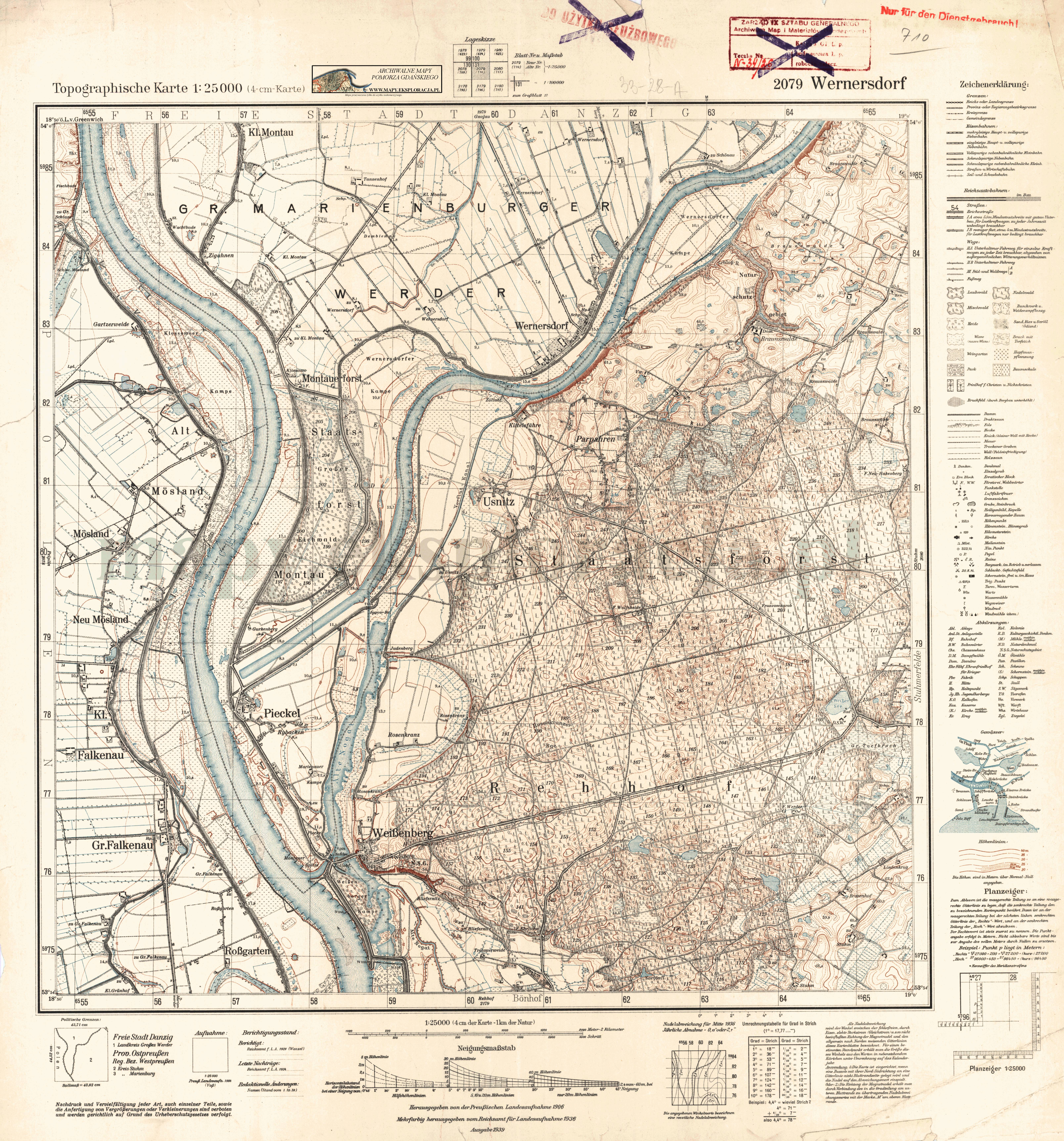
| sheet number | 2079 (710) |
| sheet title | Wernersdorf |
| modern name | Pogorzała Wieś |
| publication year | 1939 |
| scan resolution | 300 dpi |
| entry edited | 2012-07-20 08:28:19 |
| from the collection of | Archiwum Map Pomorza Gdańskiego |
