


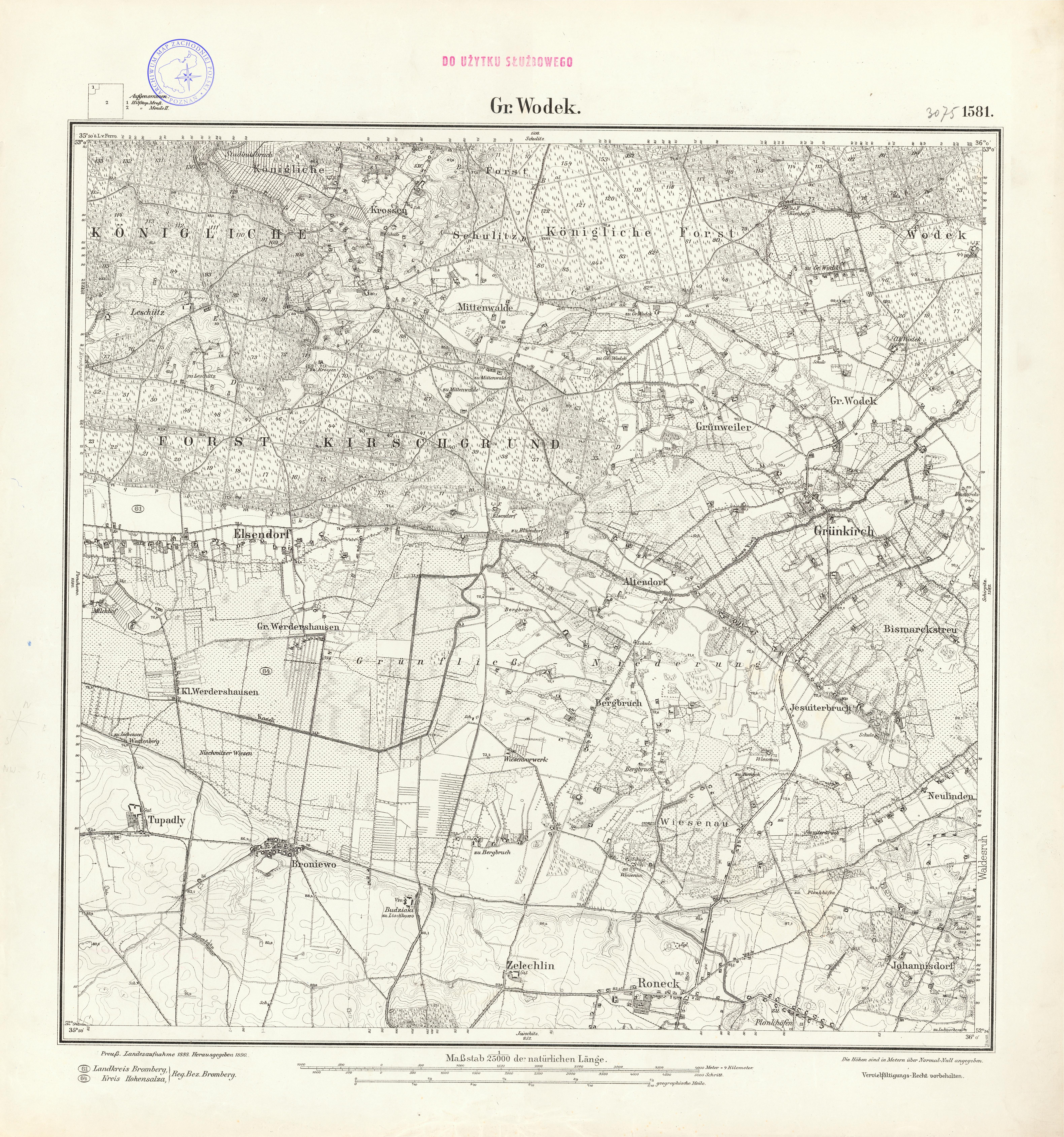
| map file | 3075_Gr_Wodek_1890.jpg |
|---|---|
| file size | 8687992 (8.3 MB) |
| sheet number | 3075 (1581) |
| sheet title | Gr Wodek |
| modern name | Osiek Wielki |
| publication year | 1890 |
| publisher | Königlich-Preussische Landesaufnahme |
| scan resolution | 300 dpi |
| entry edited | 2012-07-20 08:27:34 |
| from the collection of | Archiwum Map Zachodniej Polski |
