


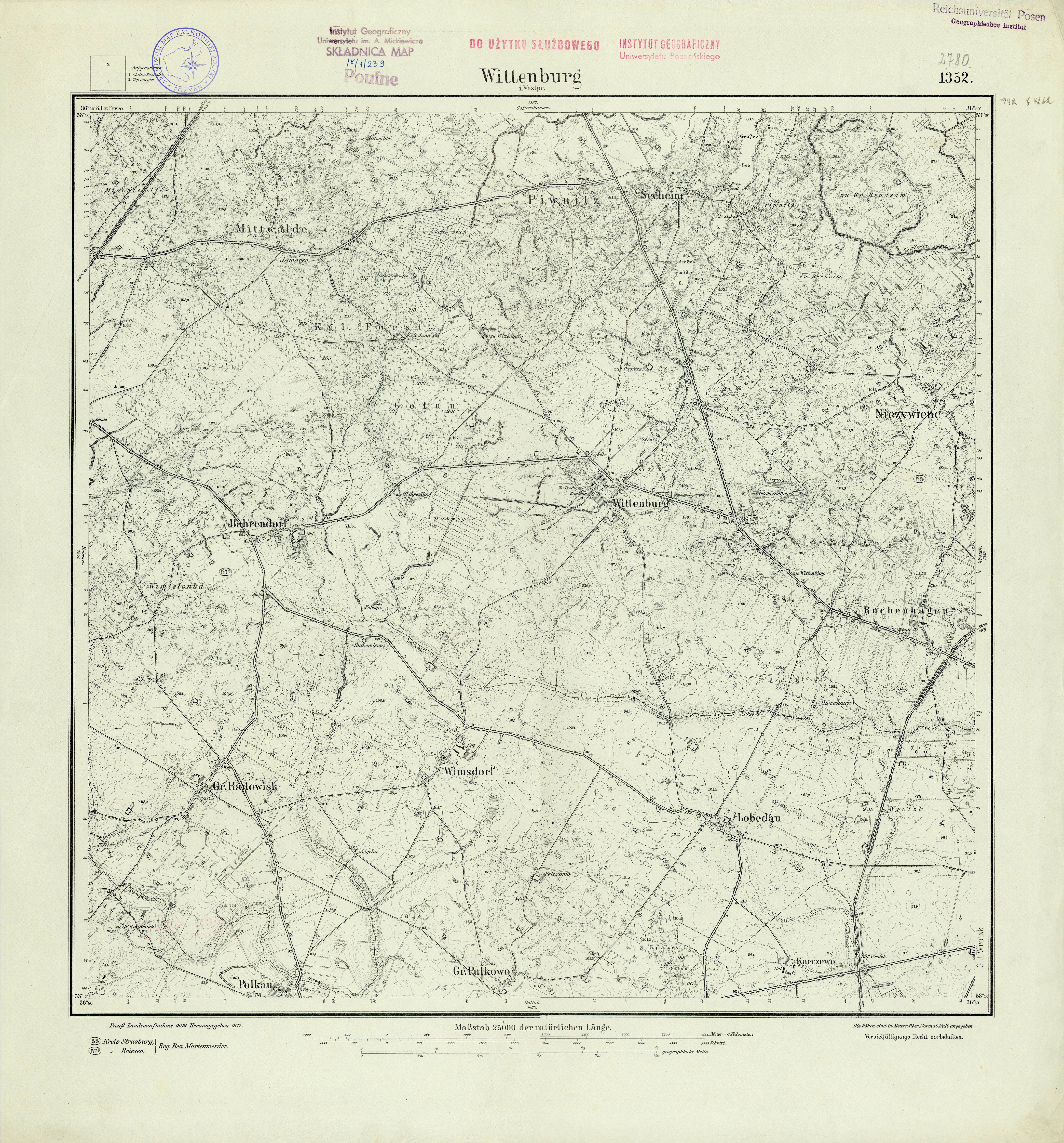
| map file | 2780_Wittenburg_Westpr_1911.jpg |
|---|---|
| file size | 10024647 (9.6 MB) |
| sheet number | 2780 (1352) |
| sheet title | Wittenburg Westpr |
| modern name | Dębowa Łąka |
| publication year | 1911 |
| scan resolution | 300 dpi |
| entry edited | 2012-07-20 08:31:01 |
| from the collection of | Archiwum Map Zachodniej Polski |
