


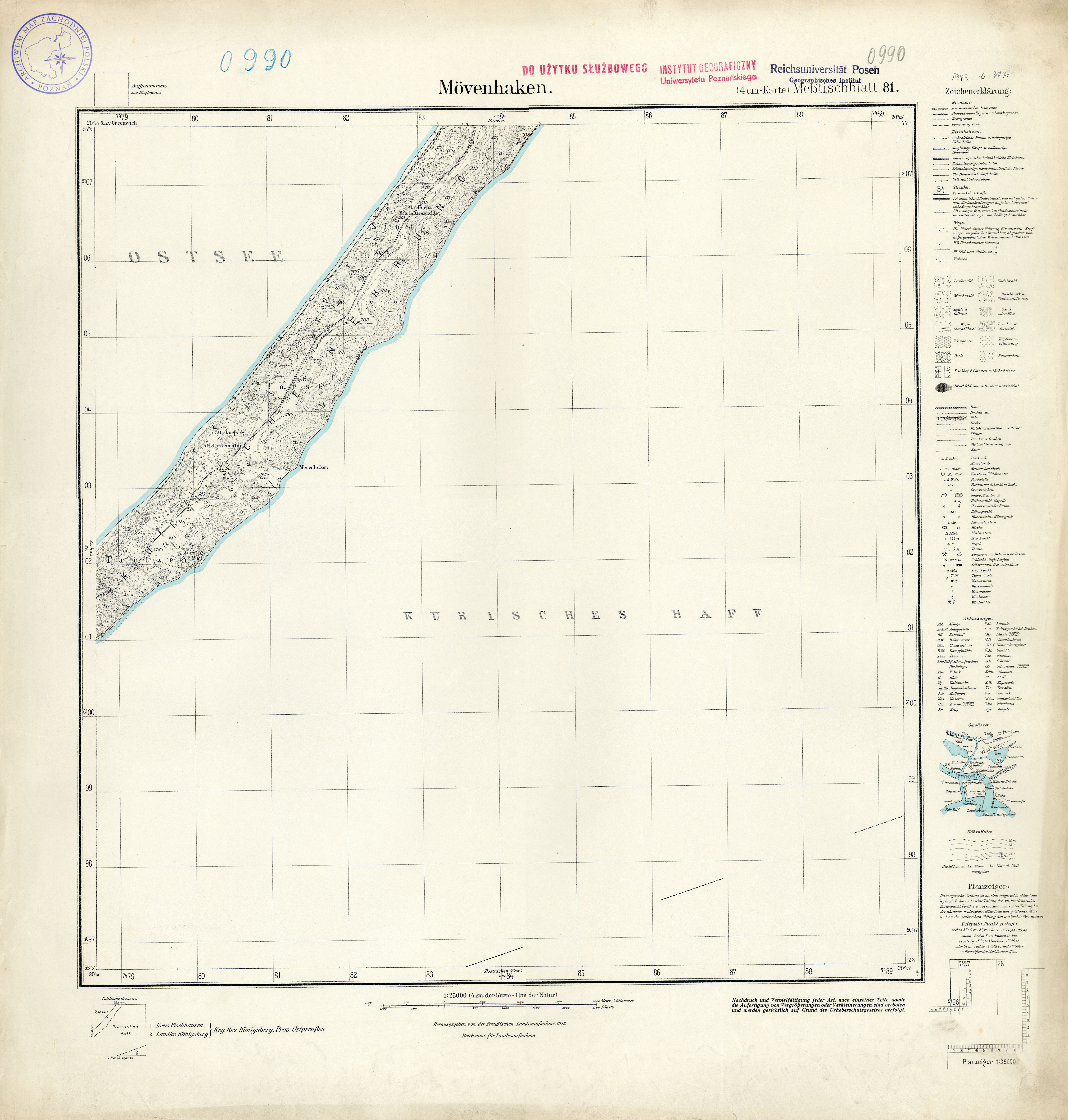
| map file | 0990_Movenhaken_1935.jpg |
|---|---|
| file size | 6006363 (5.7 MB) |
| sheet number | 990 (81) |
| sheet title | Mövenhaken |
| modern name | [abandoned] |
| publication year | 1935 |
| map/scan condition | good |
| scan resolution | 300 dpi |
| scan colors | rgb |
| entry edited | 2012-07-20 08:34:07 |
| from the collection of | Archiwum Map Zachodniej Polski |
