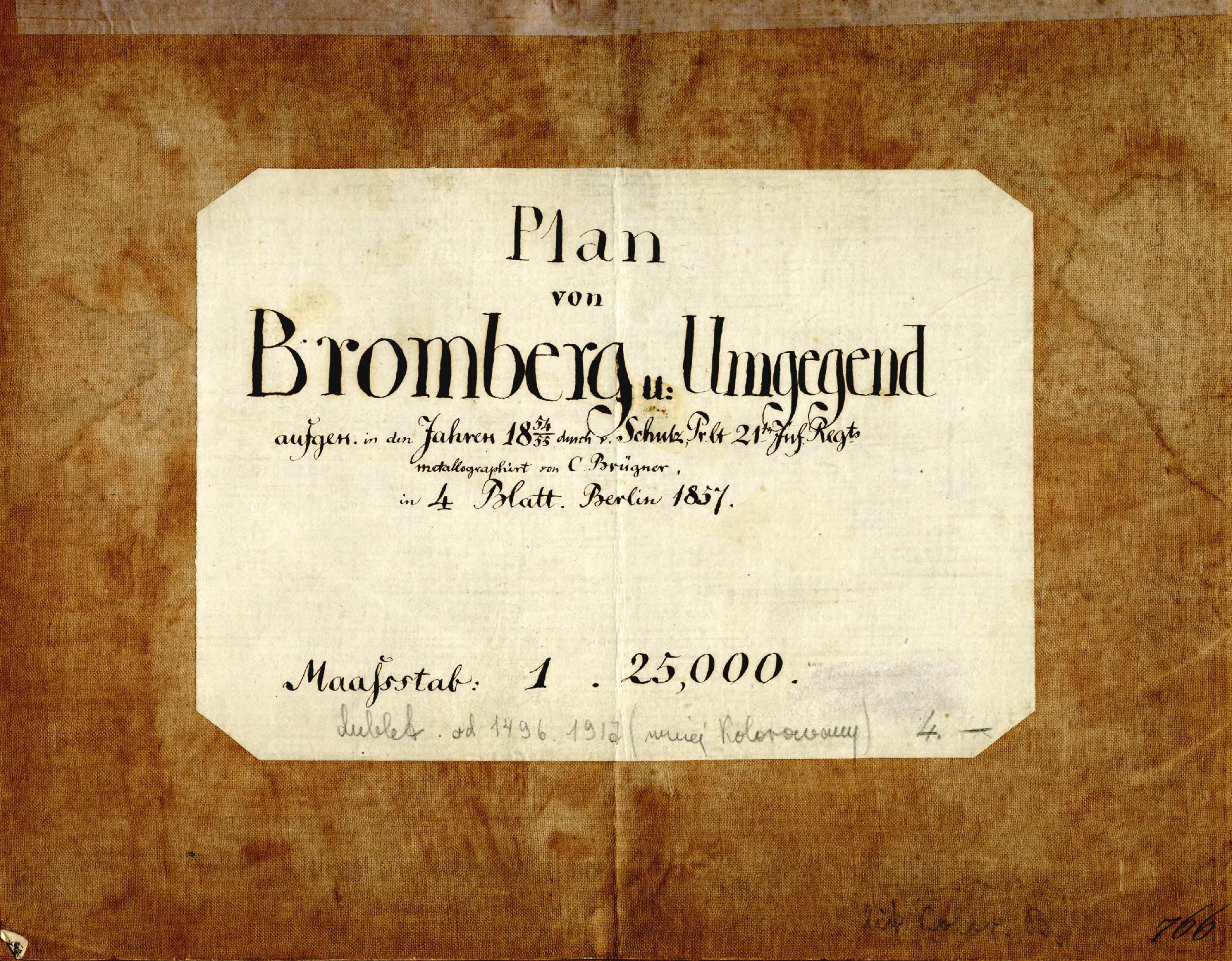
| Dateiname | Plan_von_Bromberg_u_Umgegend_1857_B_III_755_tytul_kpbc.jpg |
|---|
| Dateigröße | 1247916 (1.2 MB) |
|---|
| Anlagetitel | Plan von Bromberg und Umgegend zwisechen der Weichsel und Netze, sowie den Königl. Oberförstereien Wtelno u. Glinke |
|---|
| gegenwärtige Name | Plan Bydgoszczy i okolic między Wisłą i Notecią, jak też Królewskich nadleśnictw Wtelno i Glinki |
|---|
| alternative Name | Plan of Bydgoszcz and its neighbourhoods between Vistula and Noteć rivers, as well as the King's Forest Inspectorates of Wtelno and of Glinki |
|---|
| Veröffentlichungsjahr | 1857 |
|---|
| Eintrag editiert | 2014-01-19 17:50:51 |
|---|
| Datei hinzugefügt | 2014-01-19 |
|---|
| aus der Sammlung von | Kujawsko-Pomorska Biblioteka Cyfrowa |
|---|
| Quelleanmerkung | Wojewódzka i Miejska Biblioteka Publiczna w Bydgoszczy, B III 755 |
|---|


