| Kartedatei | Zanonni_Carte_De_La_Pologne_sbc37483_Nr_22_Część_Południową_Ziemi_Halickiey_y_Dalszy_Przeciąg_Gór_Karpackich.jpg |
|---|
| Dateigröße | 3026210 (2.9 MB) |
|---|
| Blattnummer | 22 |
|---|
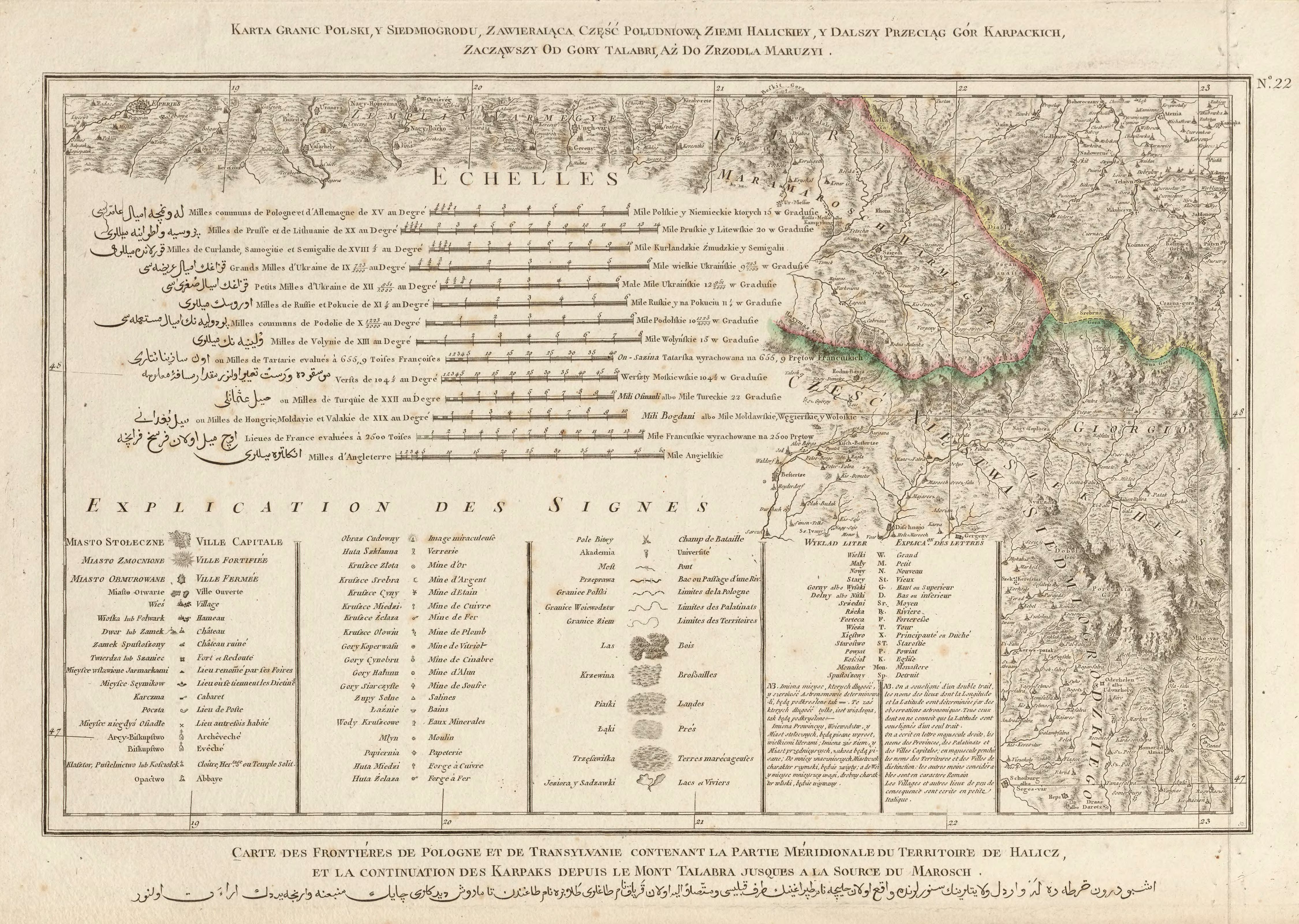
| Blatttitel | Karta granic Polski, y Siedmiogrodu, zawieraiąca część południową ziemi Halickiey y dalszy przeciąg gór Karpackich, zacząwszy od góry Talabri aż do zrzodła Maruzyi. |
|---|
| gegenwärtige Name | A map of the borders of Poland and Transylvania, containing the southern part of the land of Halicz and the further course of the Carpathian Mountains, from the Talabri Mountain till the springs of Maruzja. |
|---|
| alternative Name | Nadwórna |
|---|
| alternative Name 2 | Надвірна |
|---|
| Notiz | egz. Śląskiej BC / copy of the Silesian DL |
|---|
| Veröffentlichungsjahr | 1772 |
|---|
| Scanauflösung | 300 dpi |
|---|
| Datei hinzugefügt | 2014-01-11 |
|---|
| Eintrag editiert | 2014-01-11 21:08:25 |
|---|
| aus der Sammlung von | Śląska Biblioteka Cyfrowa |
|---|
| Quelleanmerkung | bc id: 37483 |
|---|


